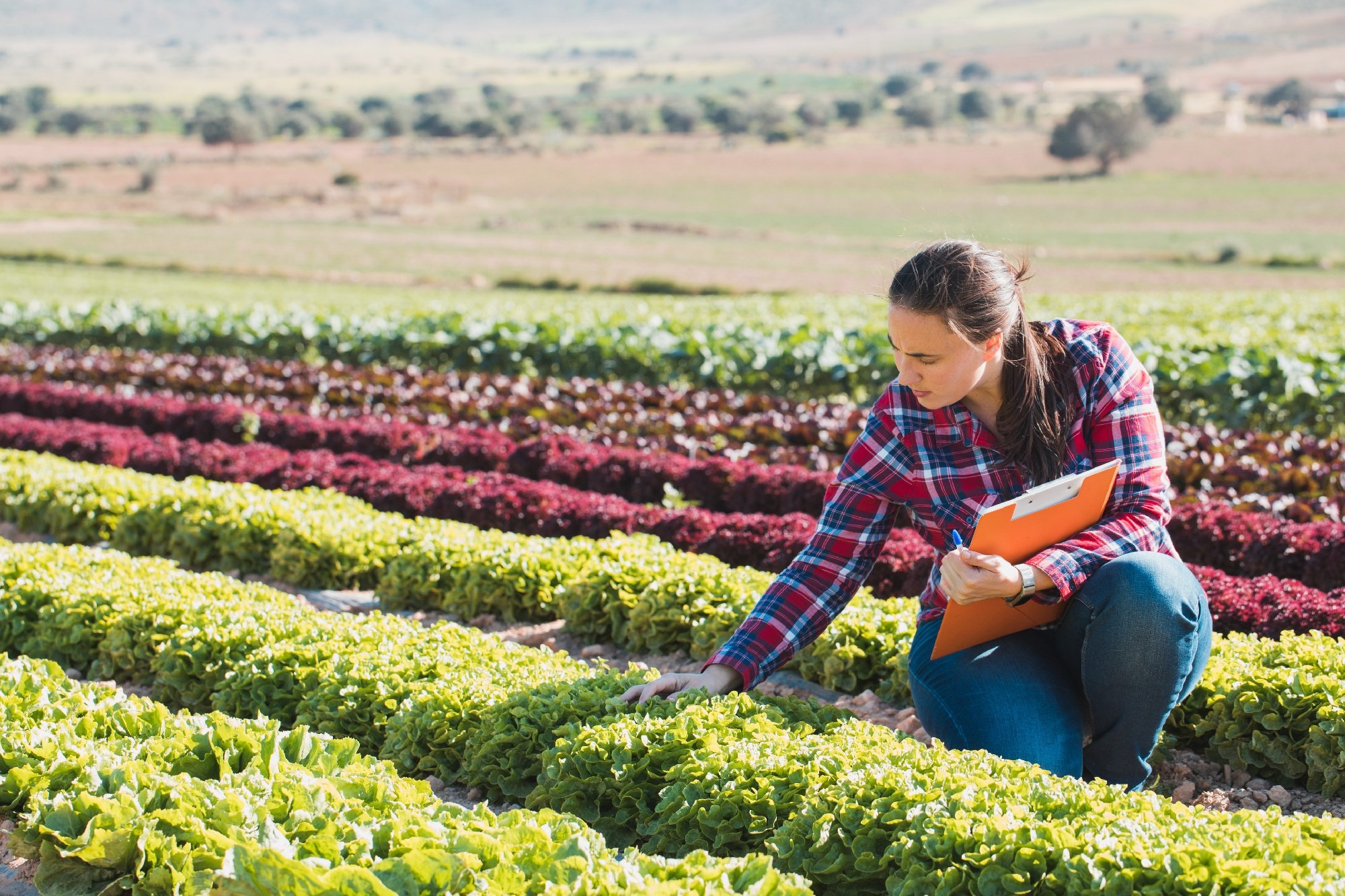
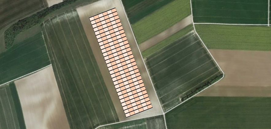
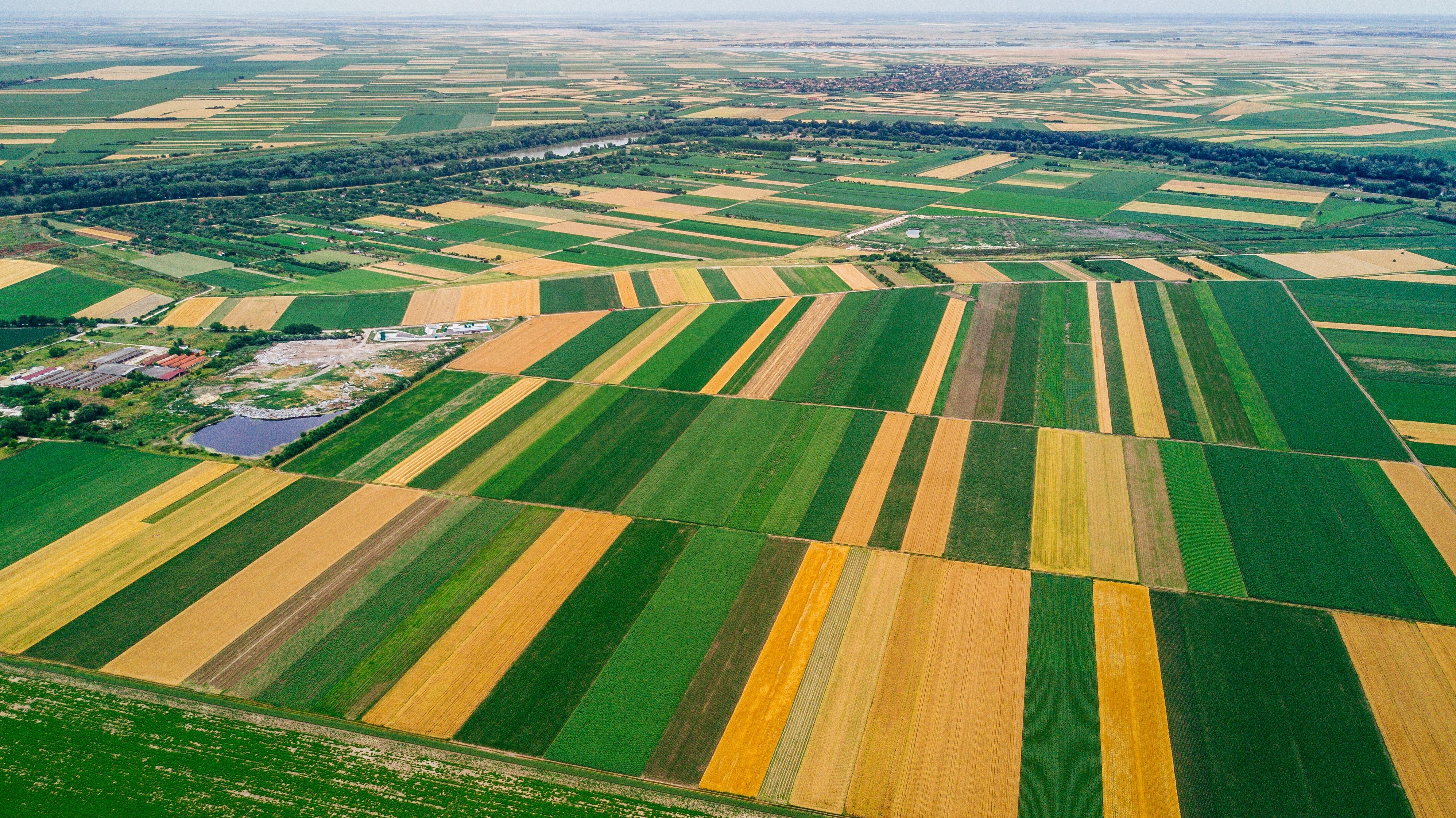
In the quest for sustainable agriculture, innovative approaches are essential to optimize crop performance and enhance biodiversity. One such approach is..
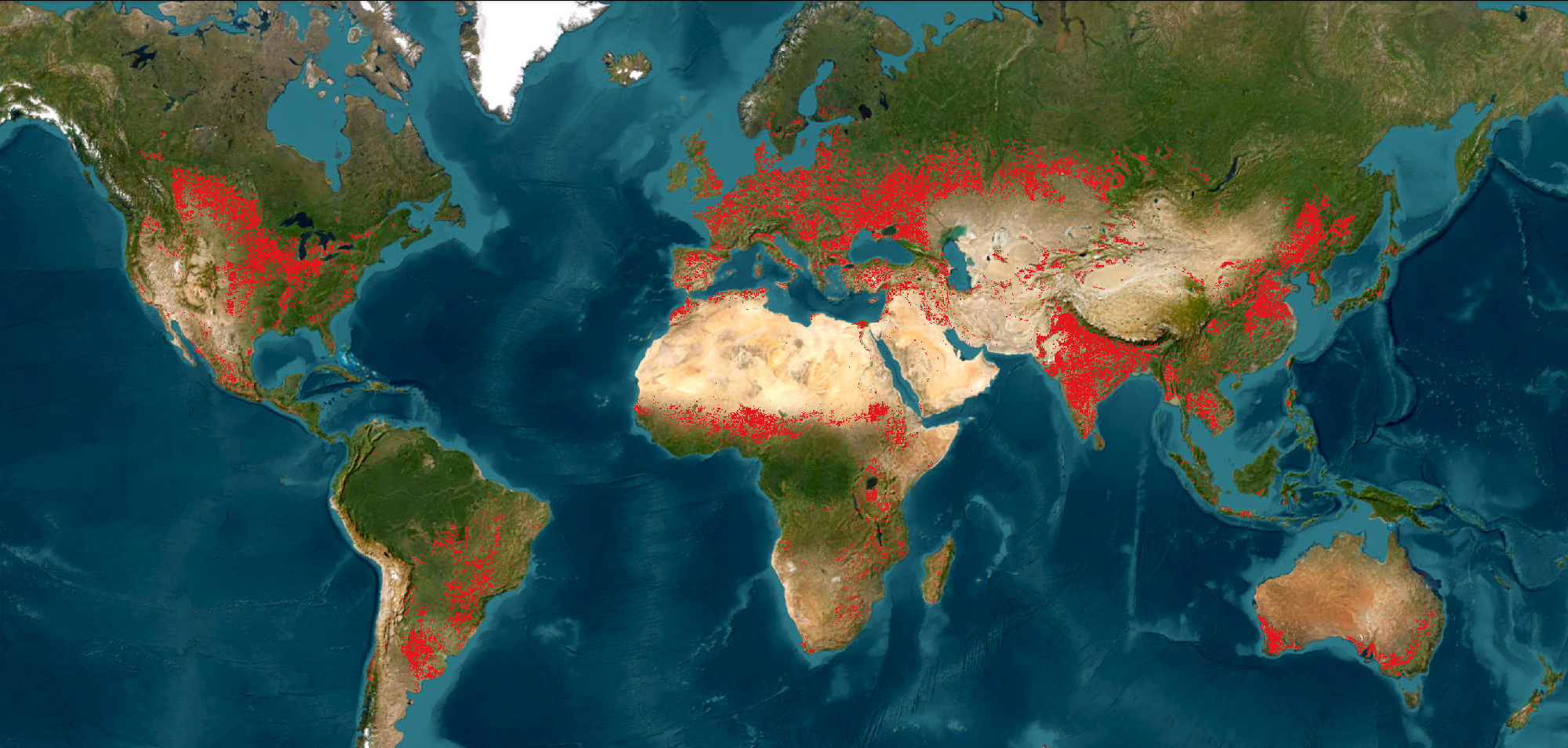
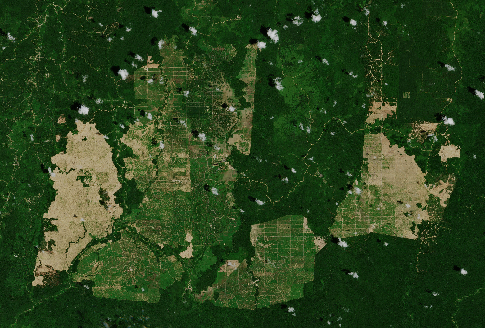
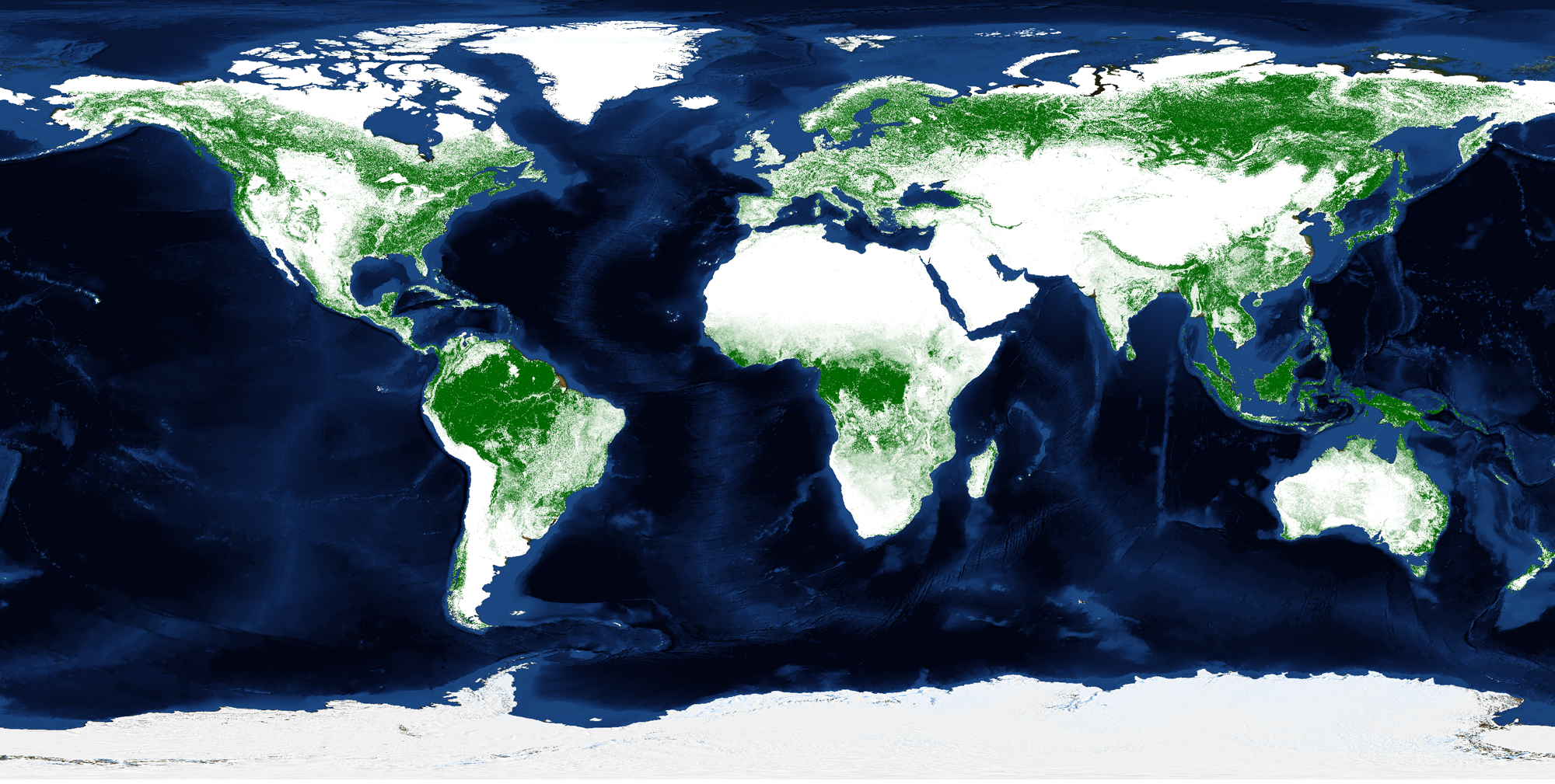
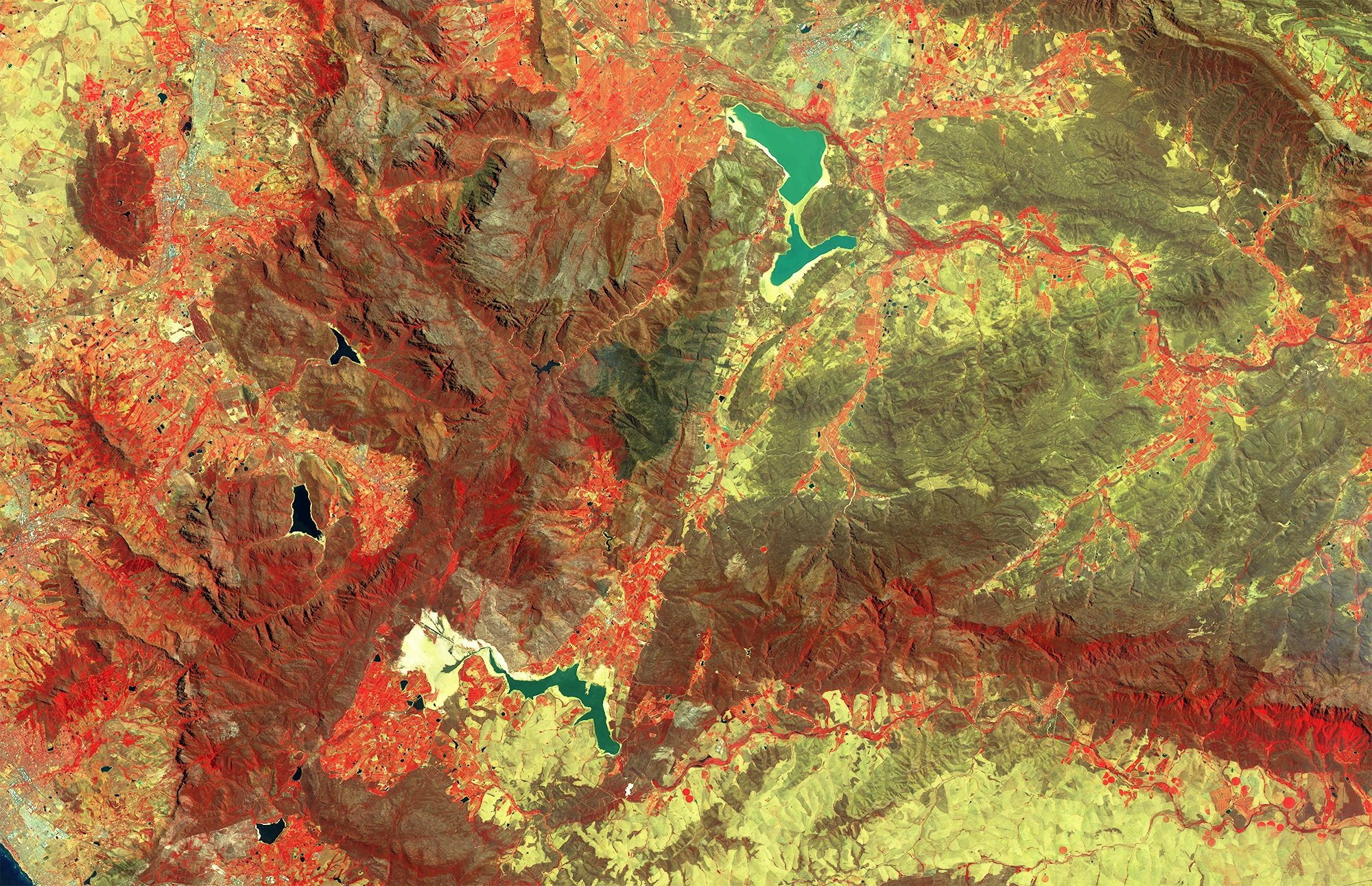
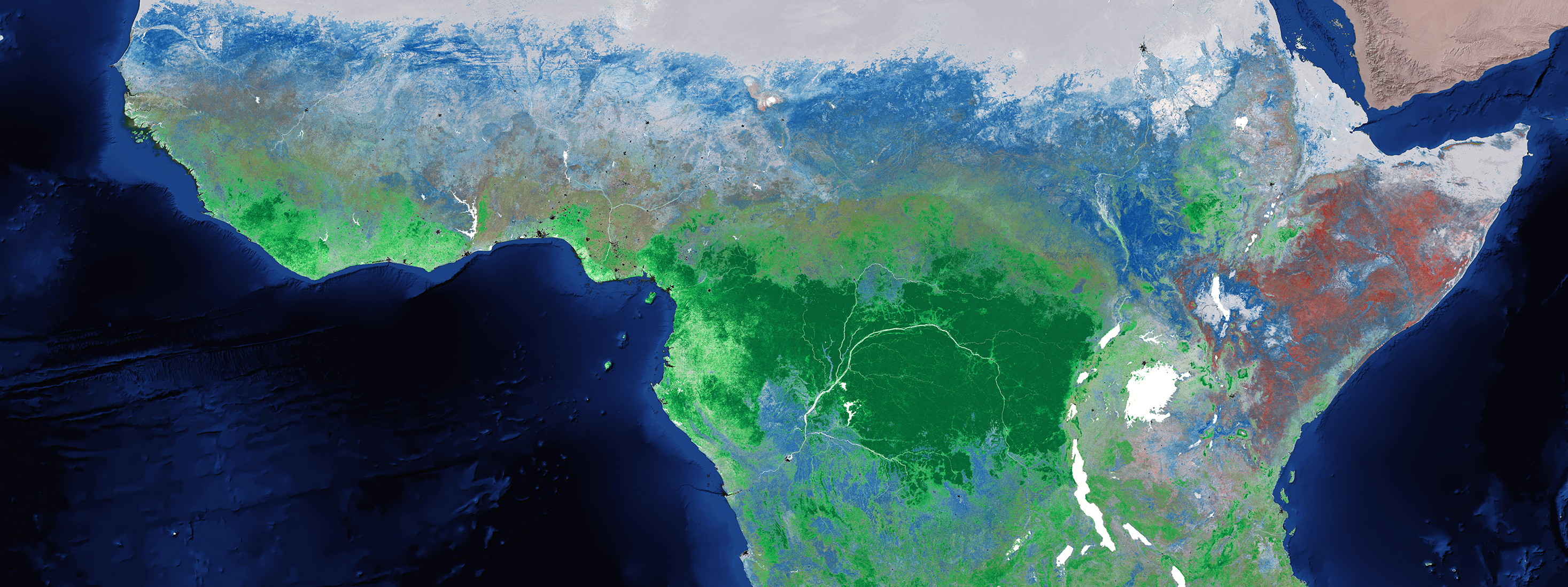
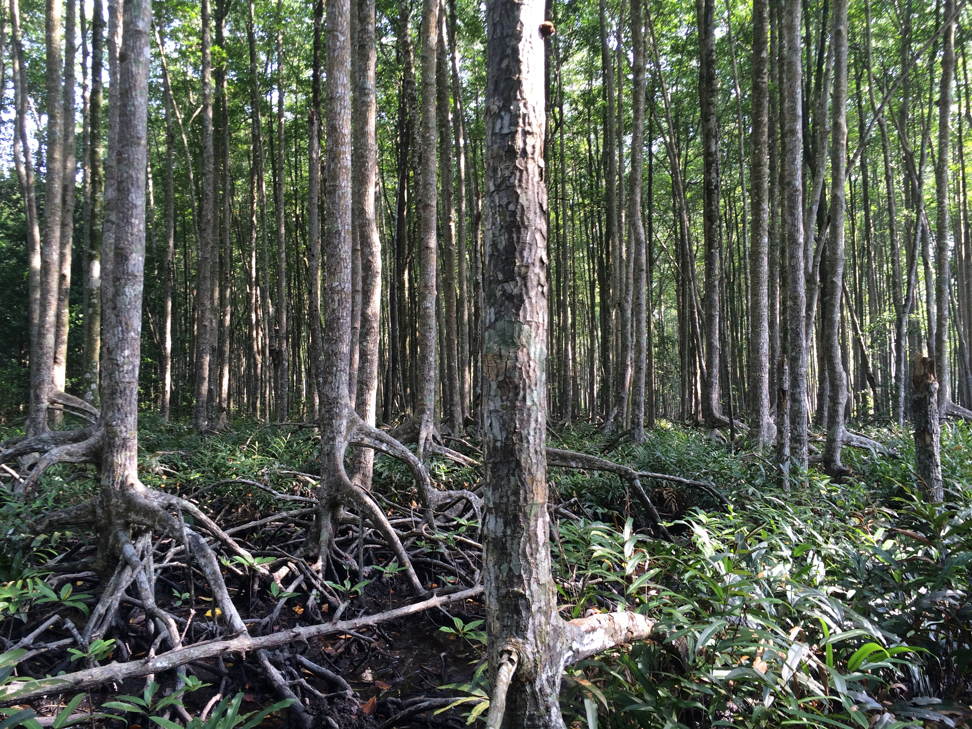
Monitoring global land cover and tropical forests is essential for addressing deforestation, biodiversity loss, and climate change. To support research,..
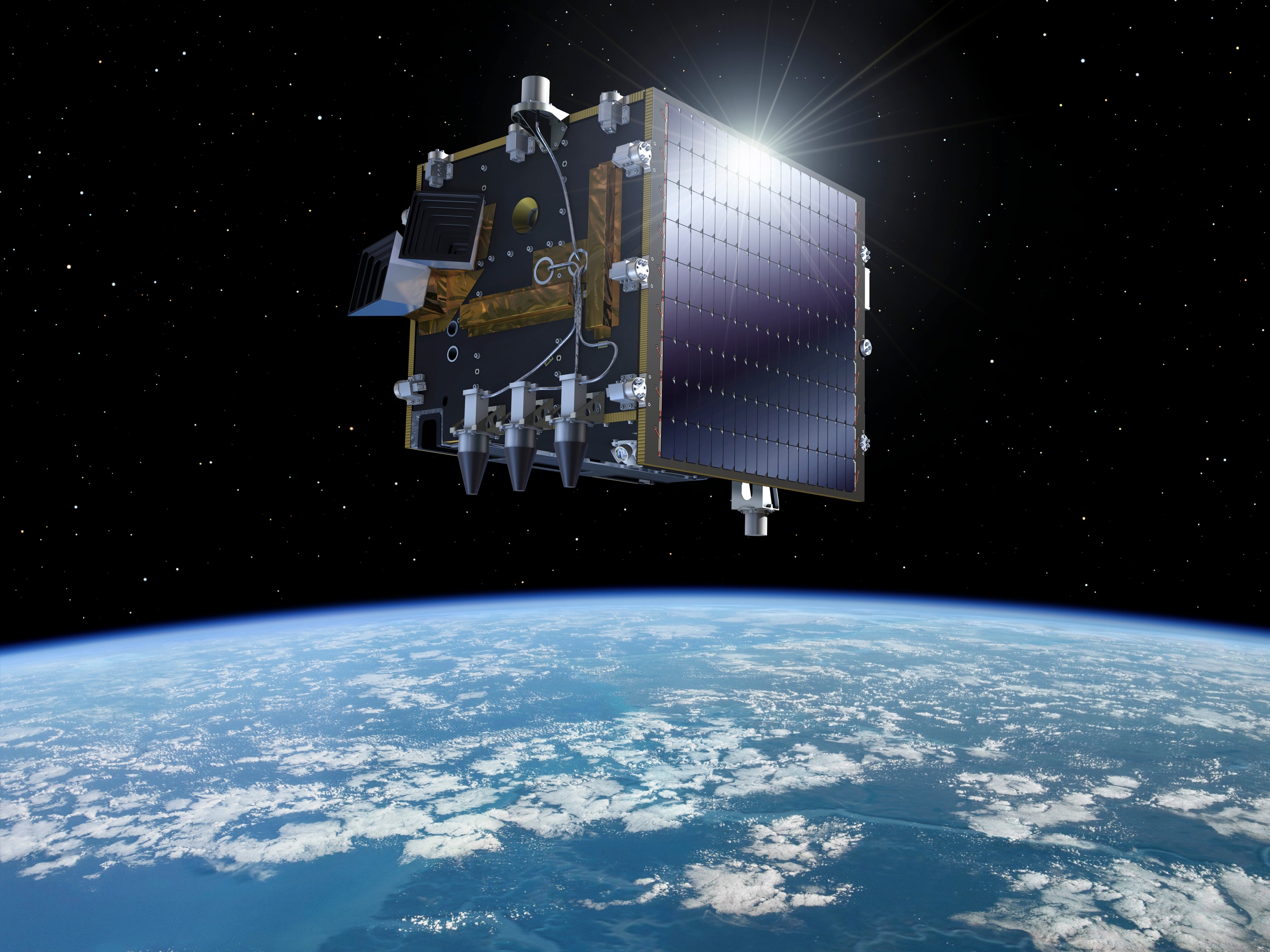
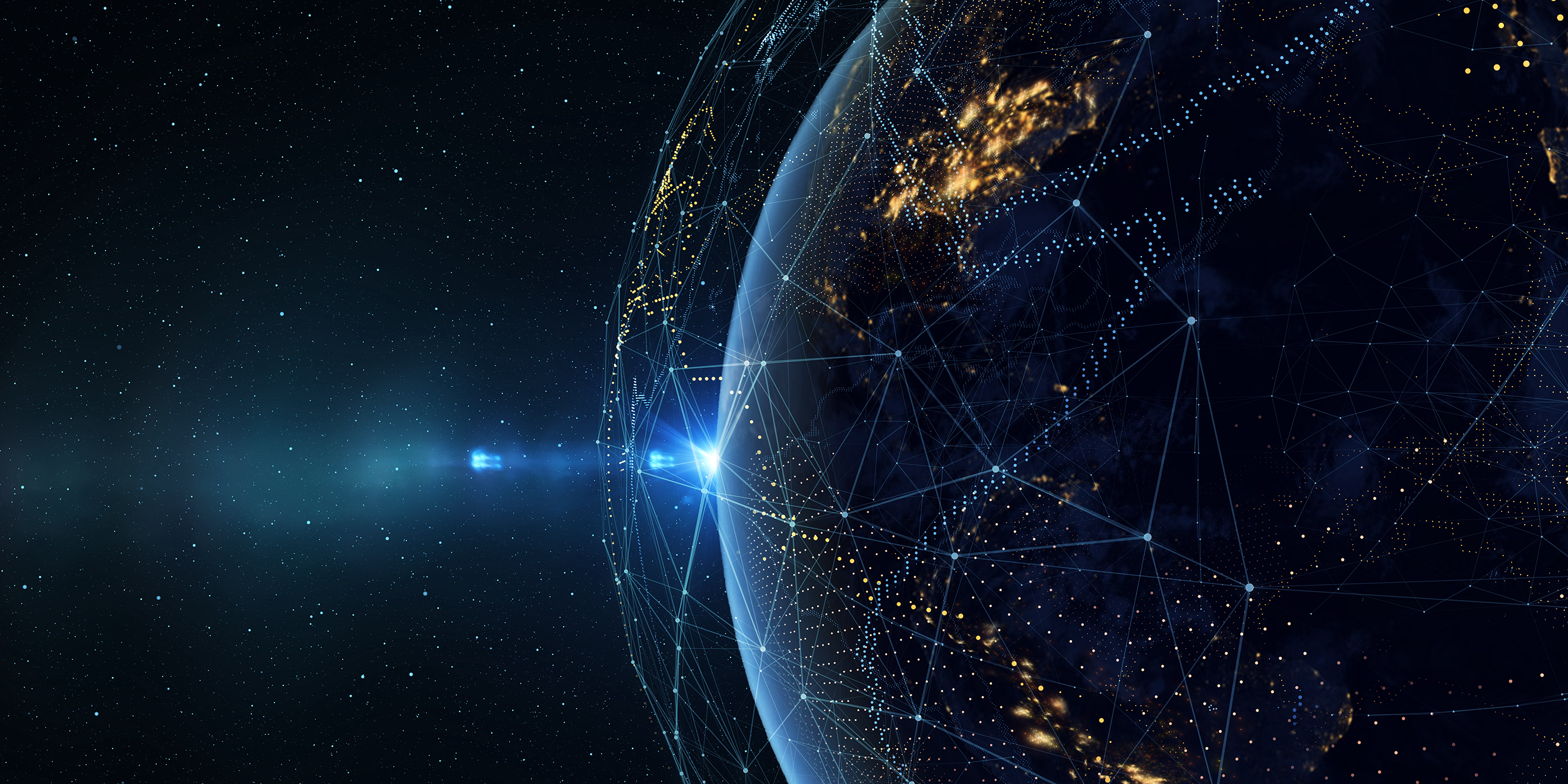
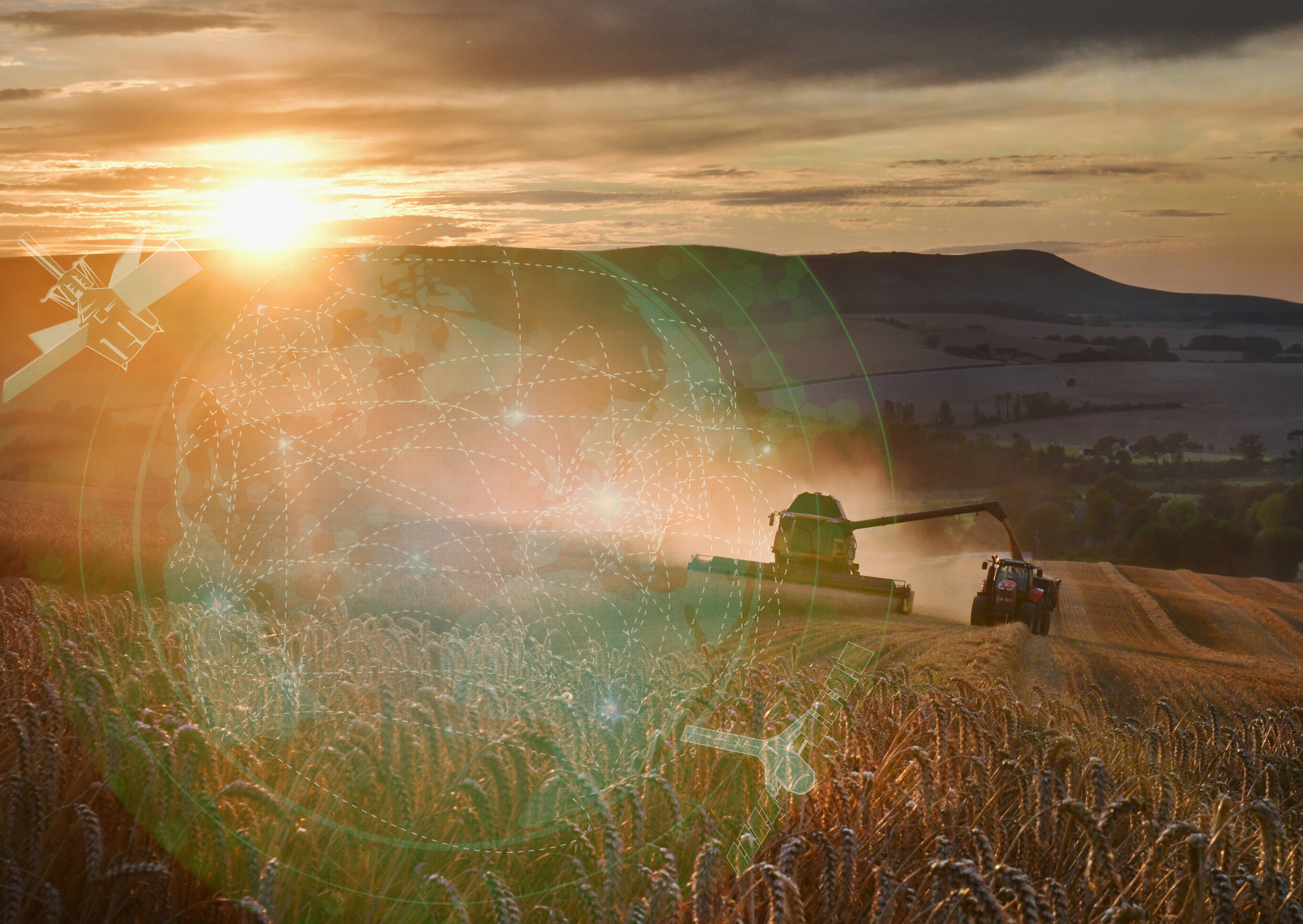
Every day, petabytes of Earth observation (EO) data stream into global archives. With Sentinel satellites capturing the planet in extraordinary detail, we..
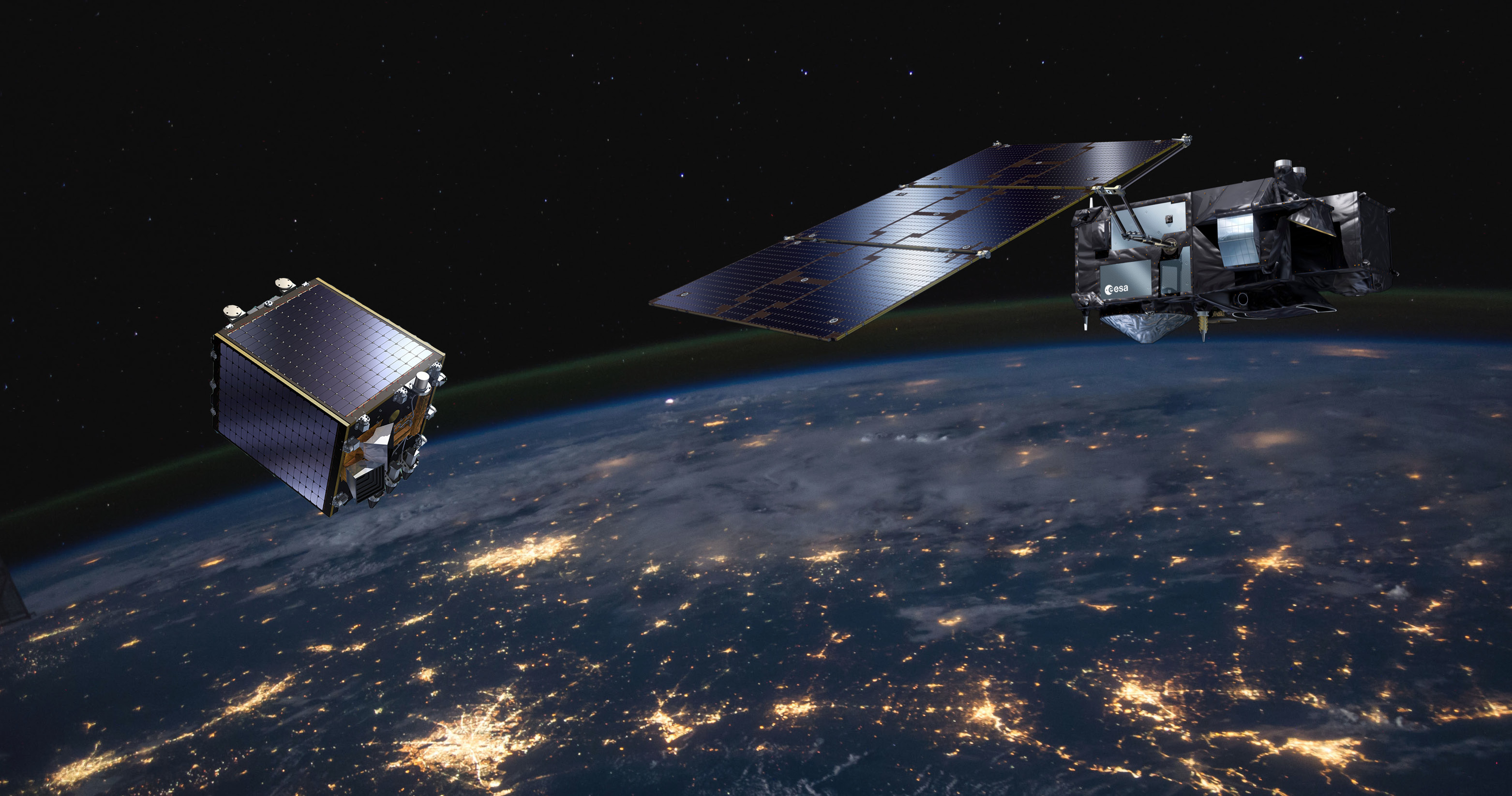
EvoLand is a three-year project launched in January 2023 under the Horizon Europe program, aiming to enhance the Copernicus Land Monitoring Service (CLMS)..
With the ever-growing volume and variety of Earth Observation (EO) data, processing these datasets into valuable insights about our planet can present..
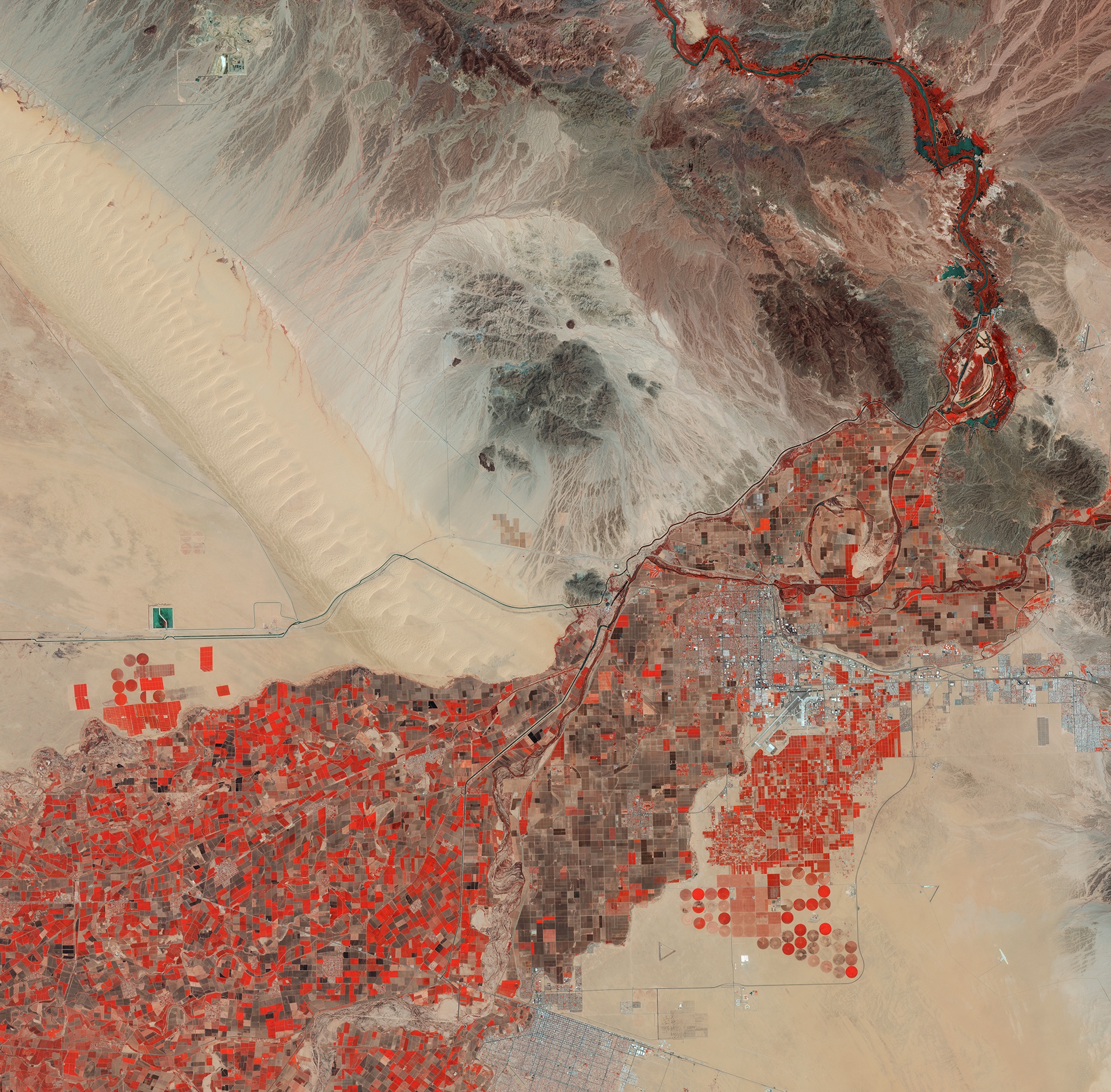
Land degradation (LD) is defined as the reduction or loss of biological or economic productivity in cropland, pastures, and forests resulting from natural..
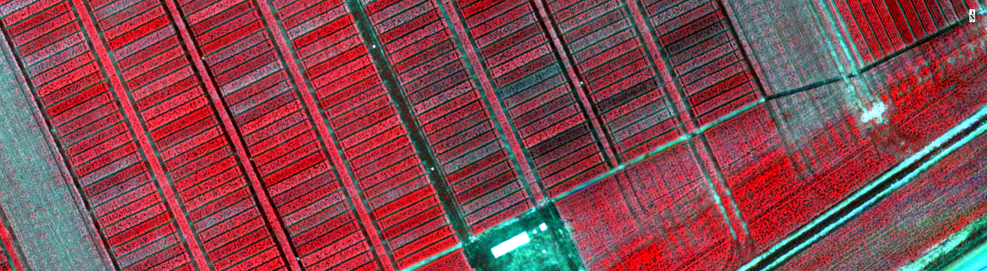
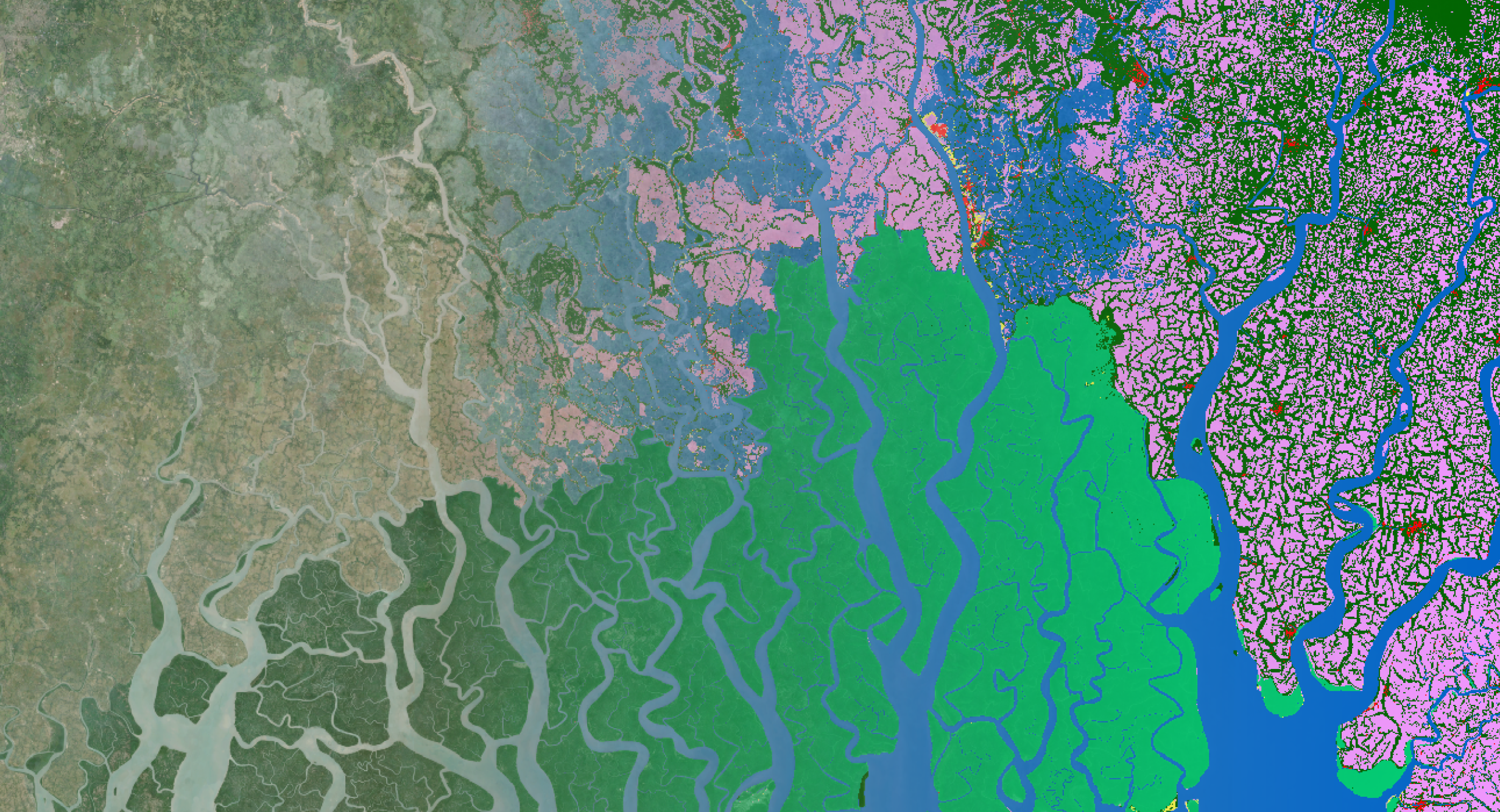
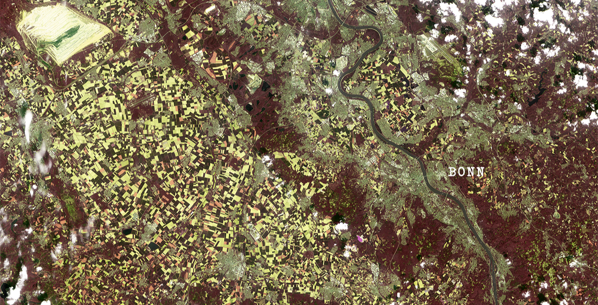
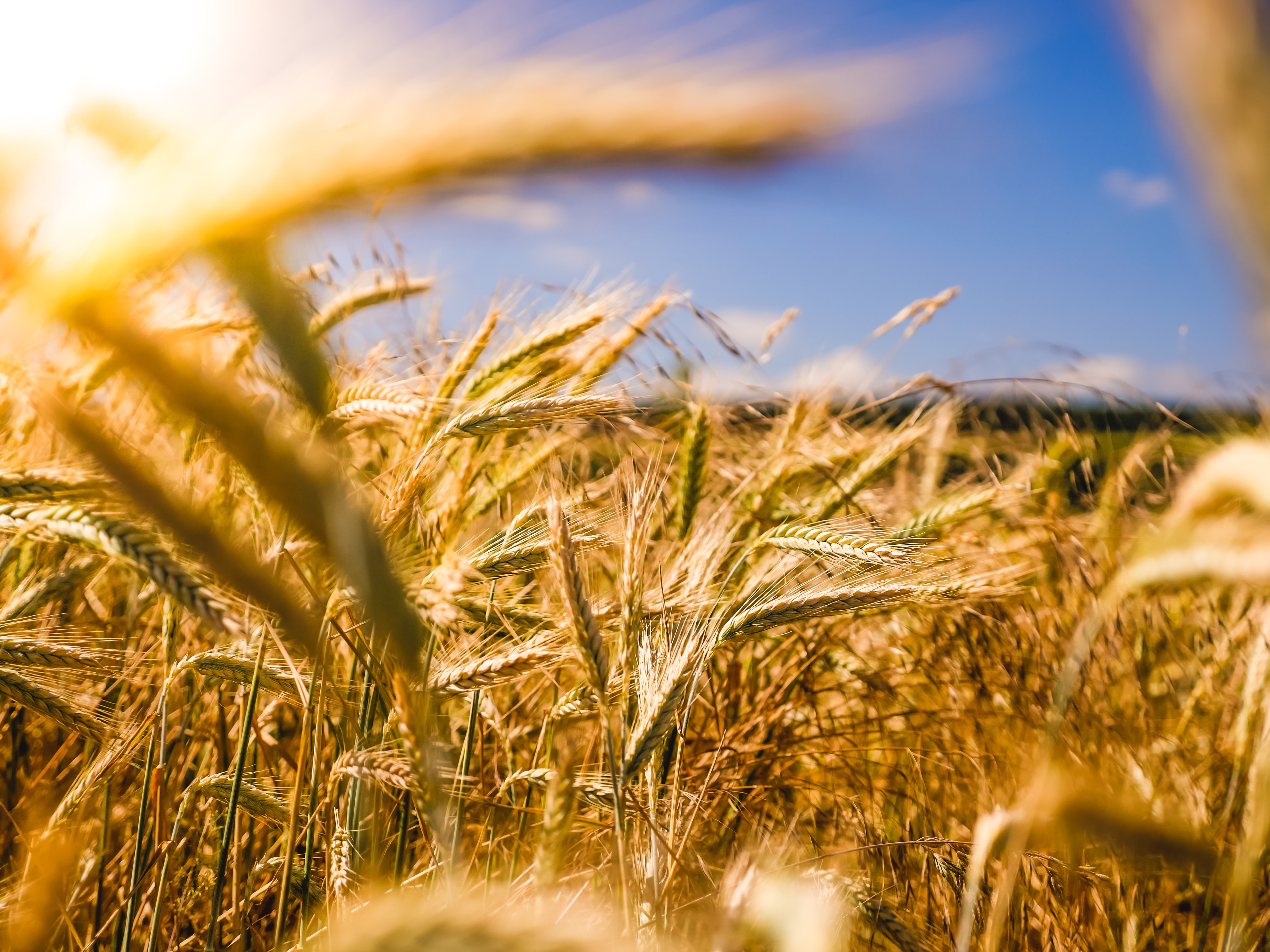
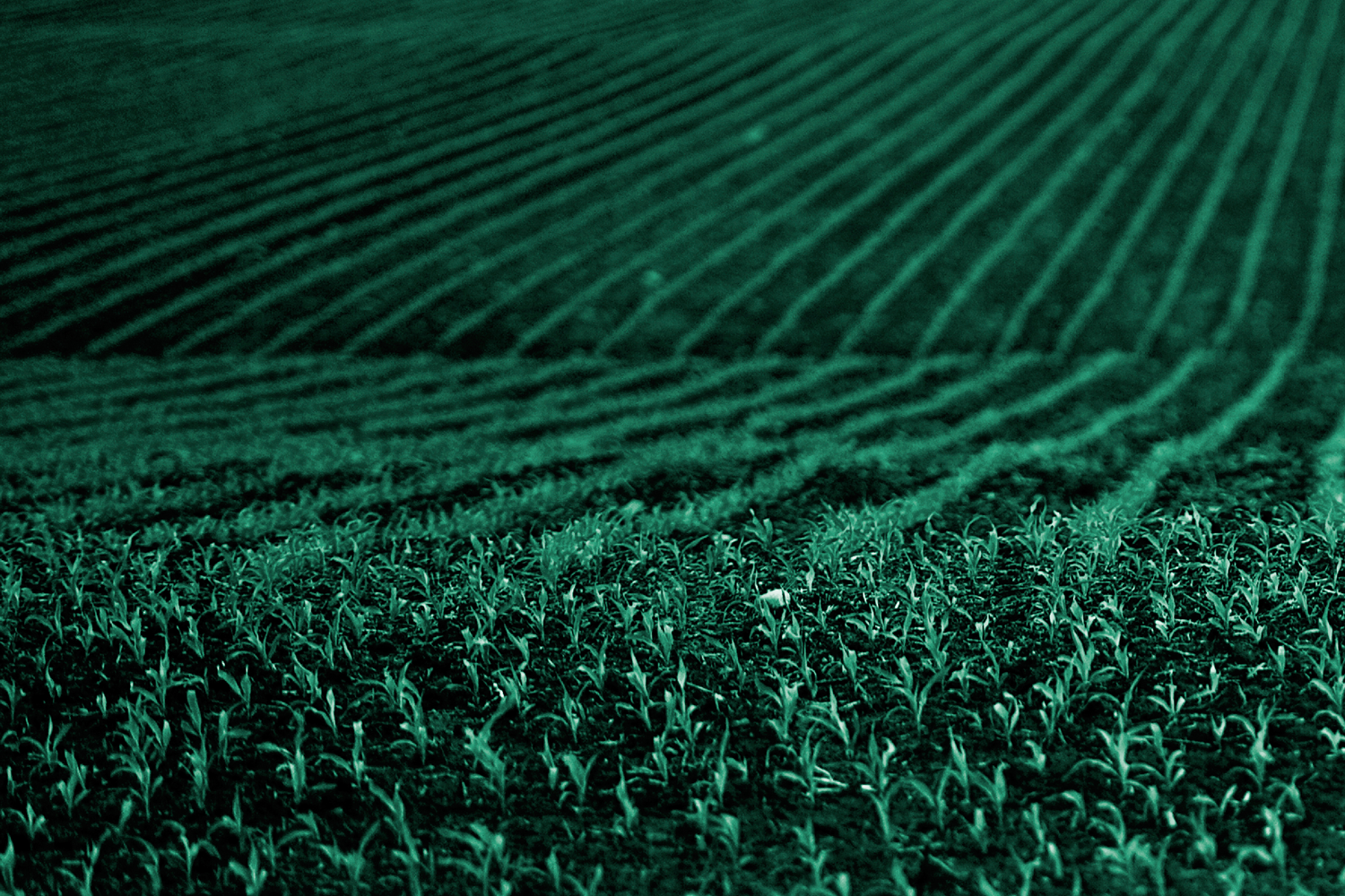
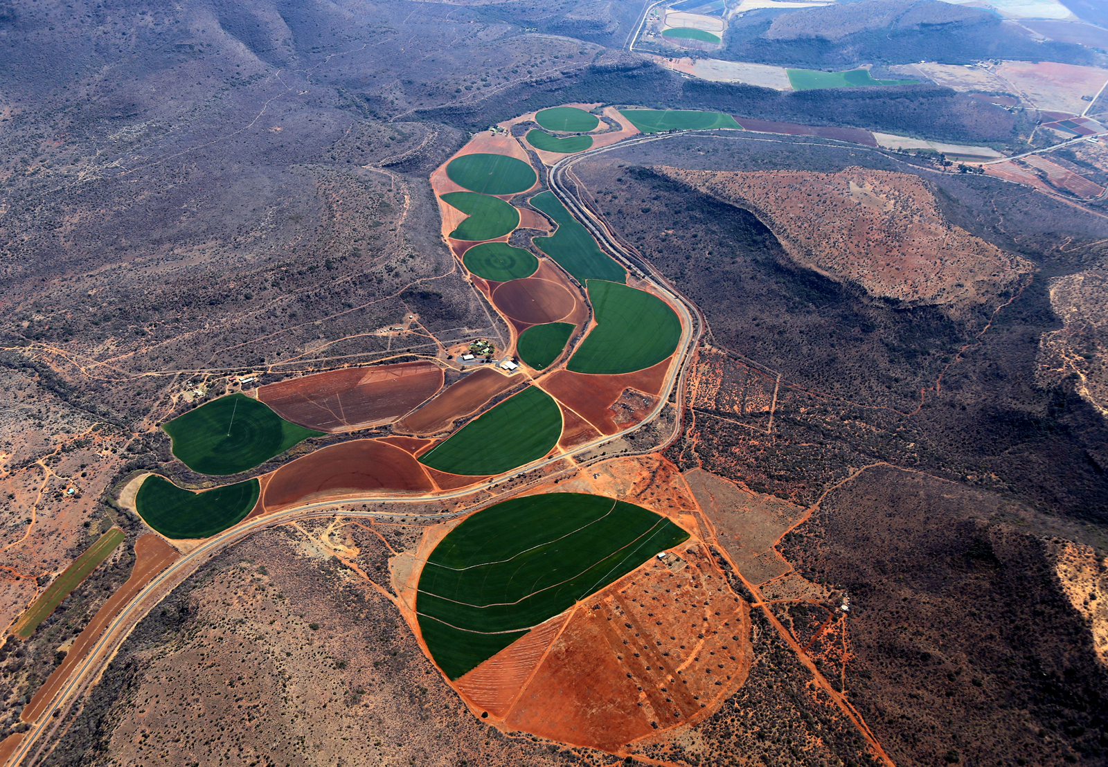
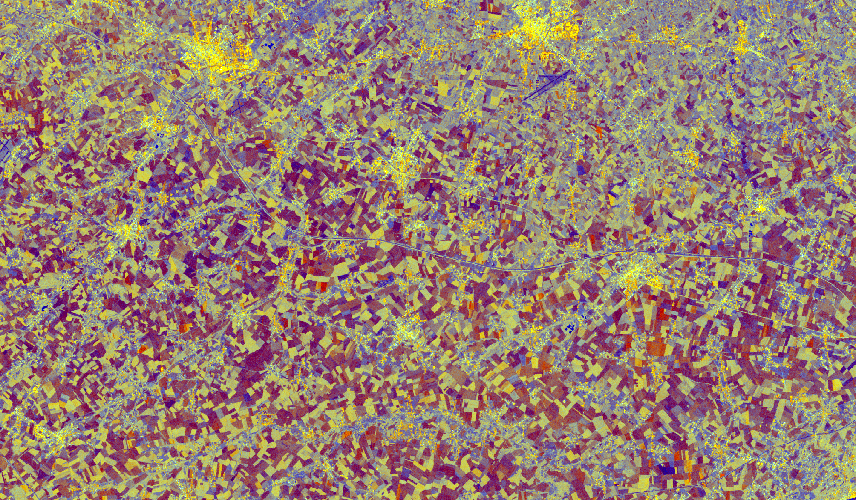
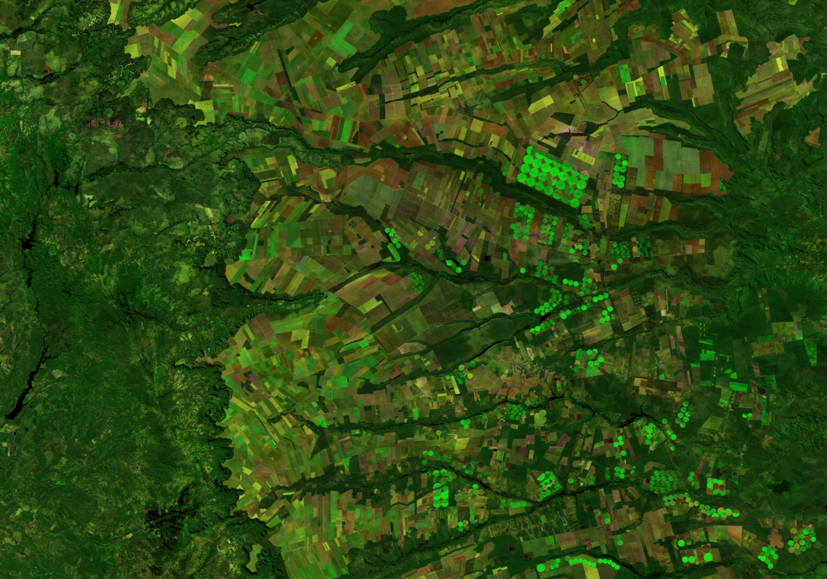
Cropland is one of the most dynamic land cover types, responding rapidly to evolving agricultural policies and changing climatic conditions. Yet, despite..
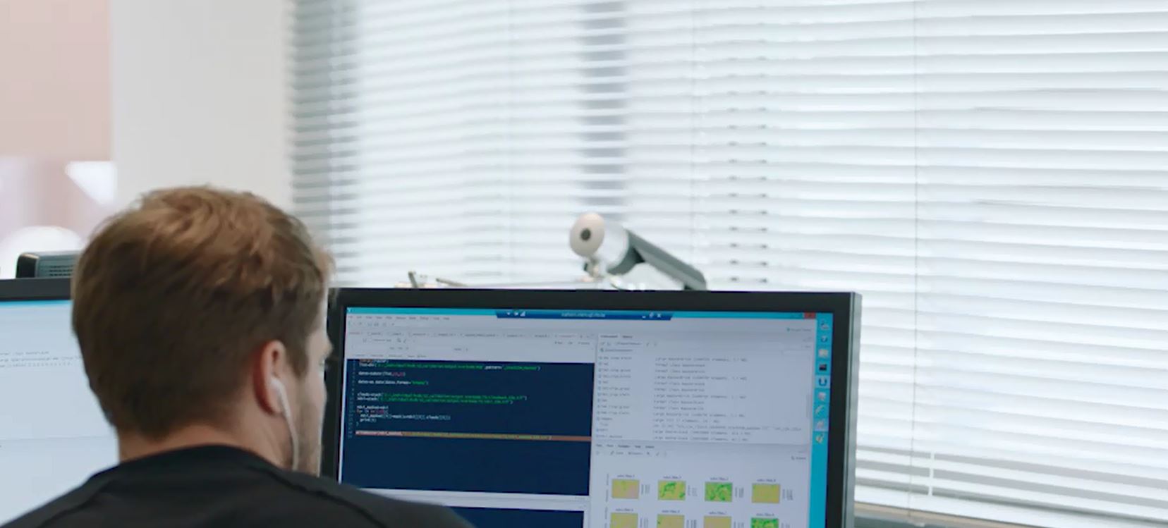
In an era where Earth Observation (EO) satellite data plays a vital role in understanding and managing our planet, having the right tools to process and..
In an era where urbanisation and environmental sustainability often clash, the need for innovative tools to guide spatial planning has never been more..
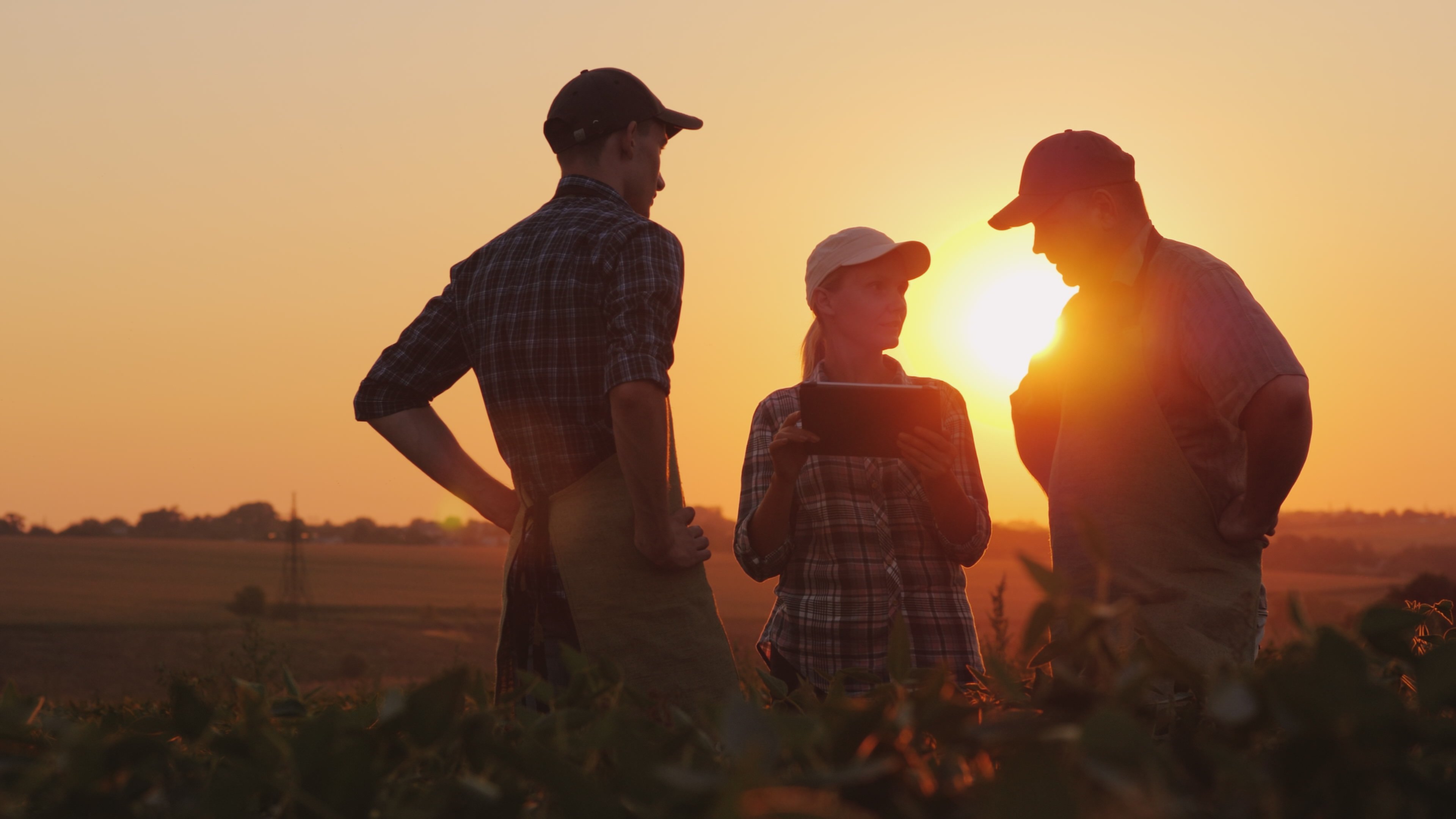
As climate change accelerates, climate resilience has become a cornerstone of modern breeding programs. However, progress in developing climate-adapted..
In recent years, advancements in satellite technology have significantly increased the volume of data captured by Earth Observation (EO) satellites. This..
The Copernicus Sentinel satellites monitor the Earth’s surface with high spatial and temporal resolution. The images are openly available, but translating..
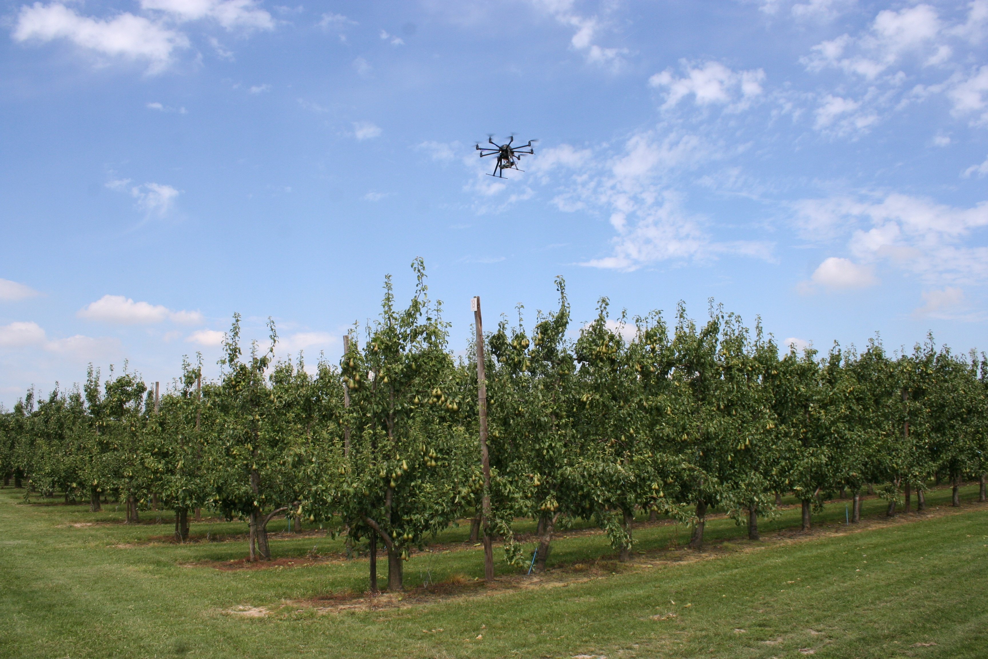
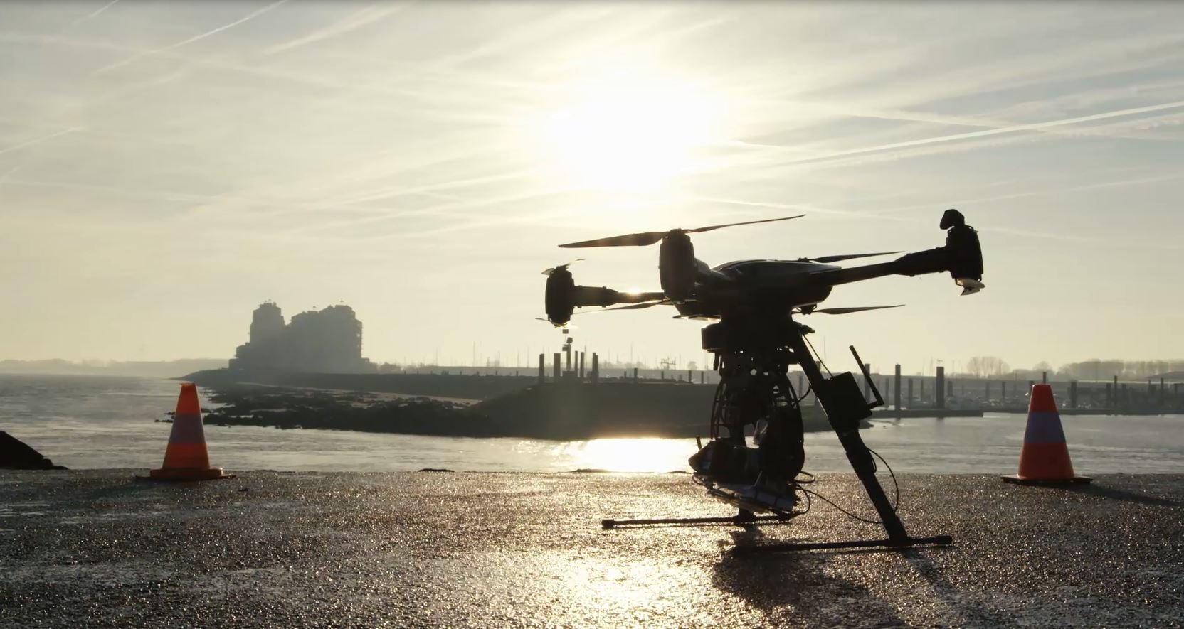
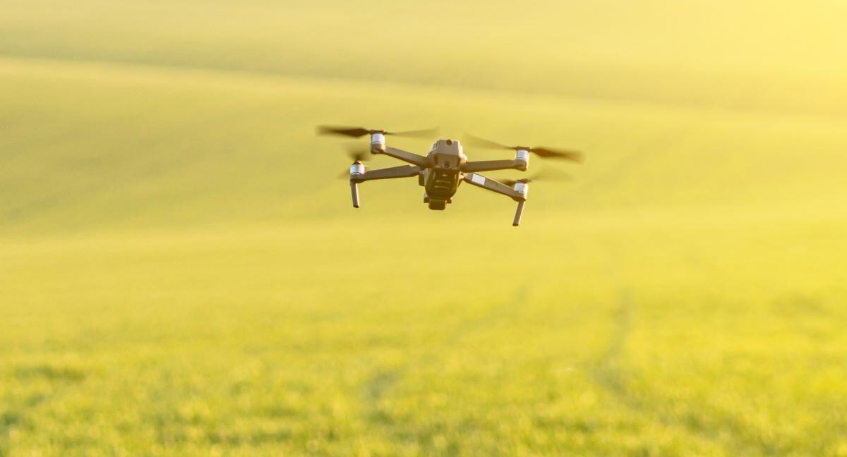
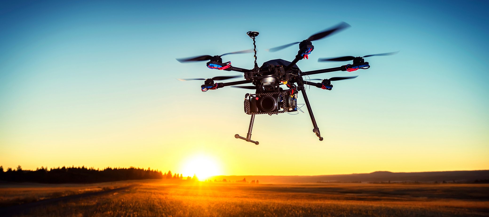
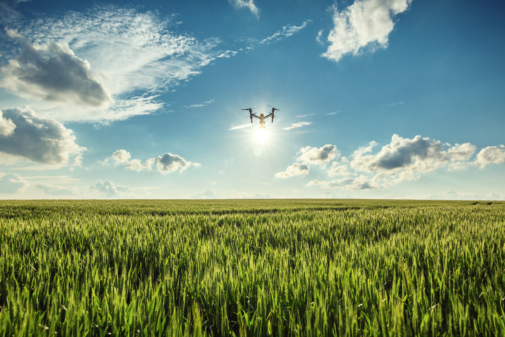
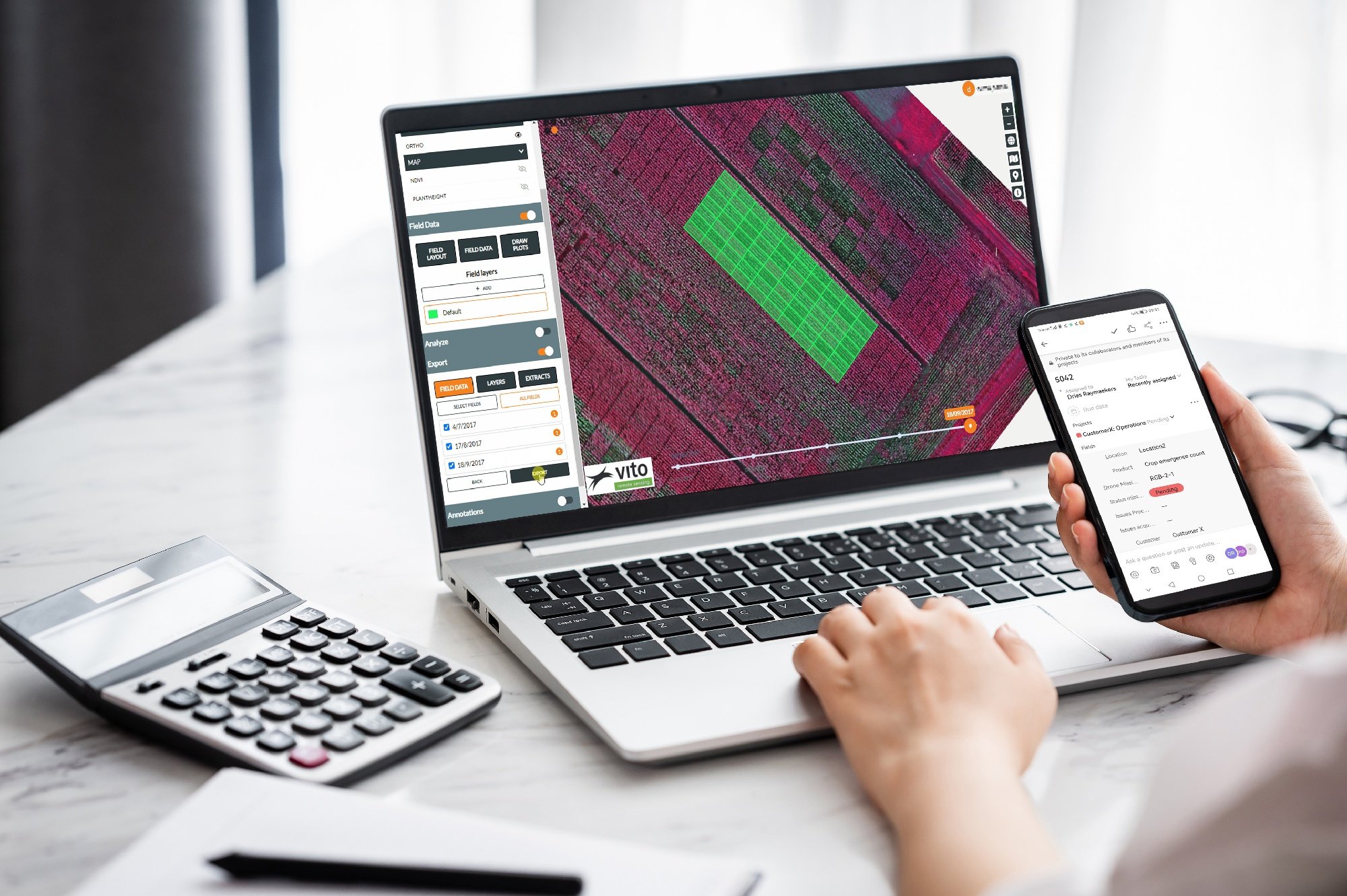
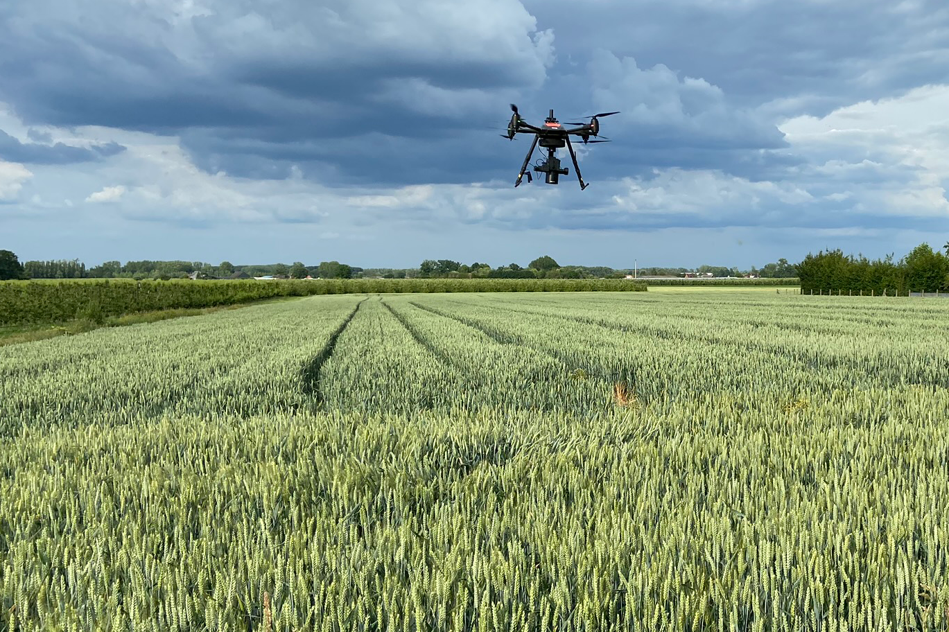
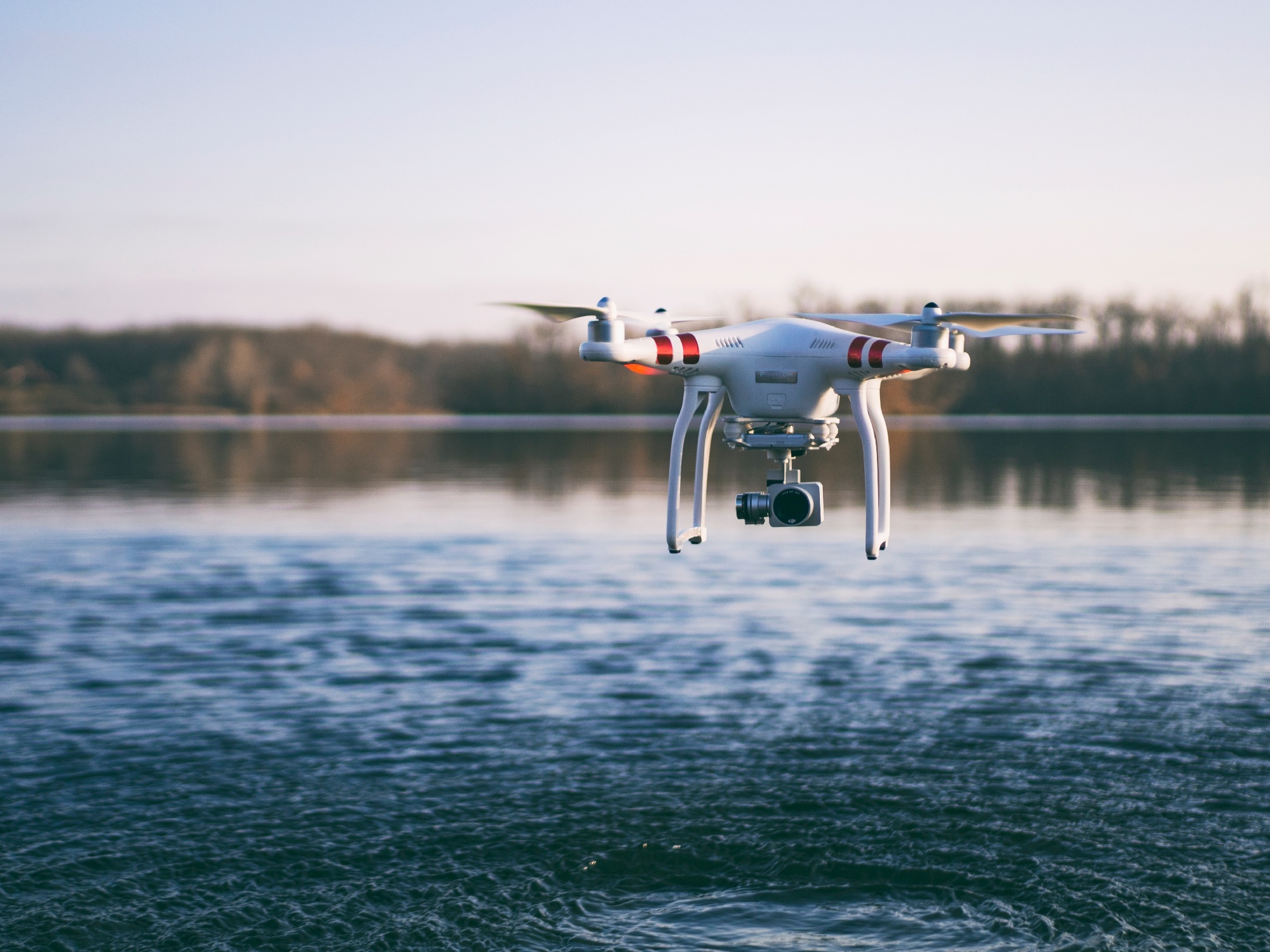
Drones have the potential to transform agriculture by offering detailed and specific insights on crop performance, but the high costs and complexity of..
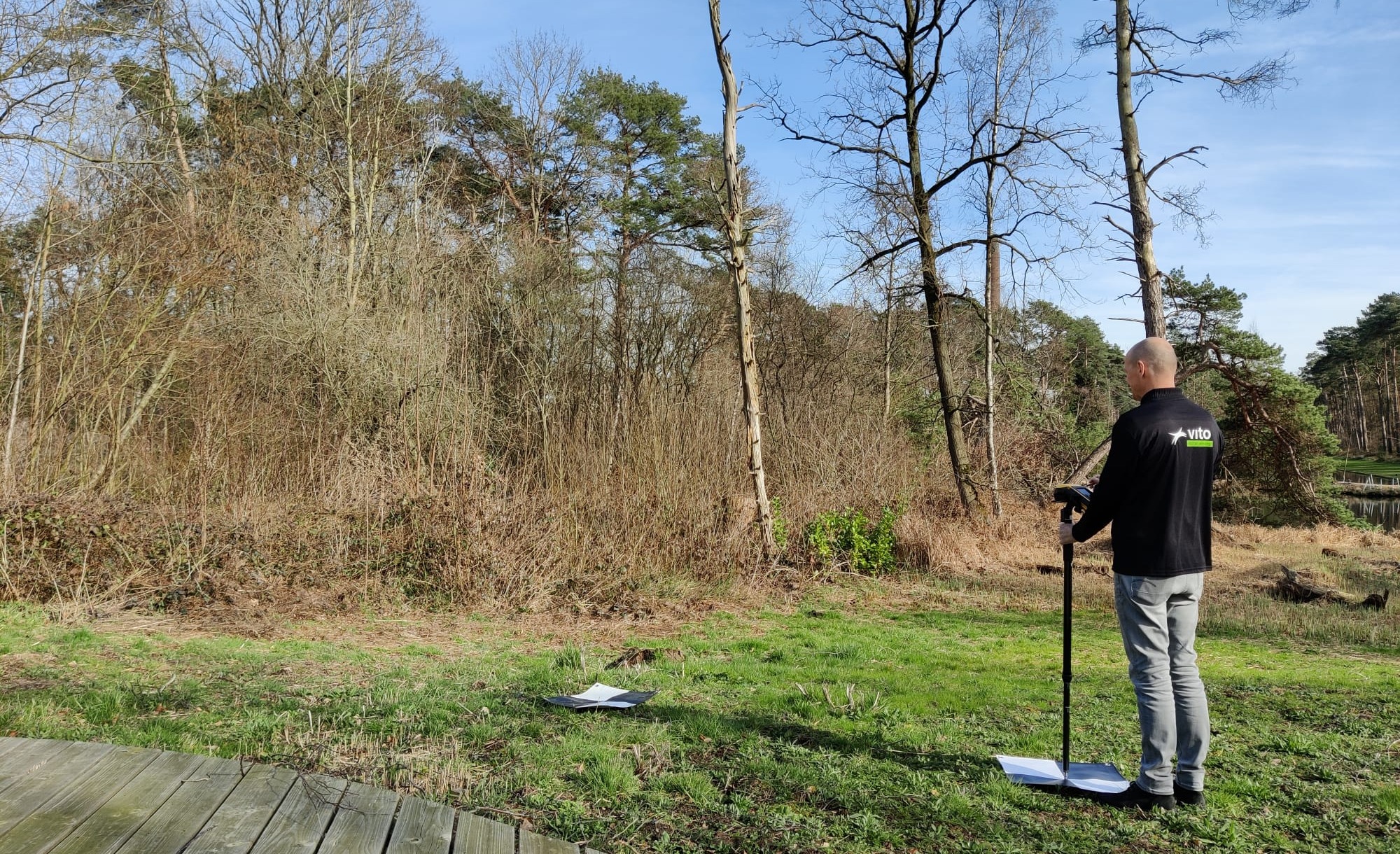
With the recent implementation of the Nature Restoration Law and the ongoing UN Decade on Ecosystem Restoration, accurate habitat mapping has never been..
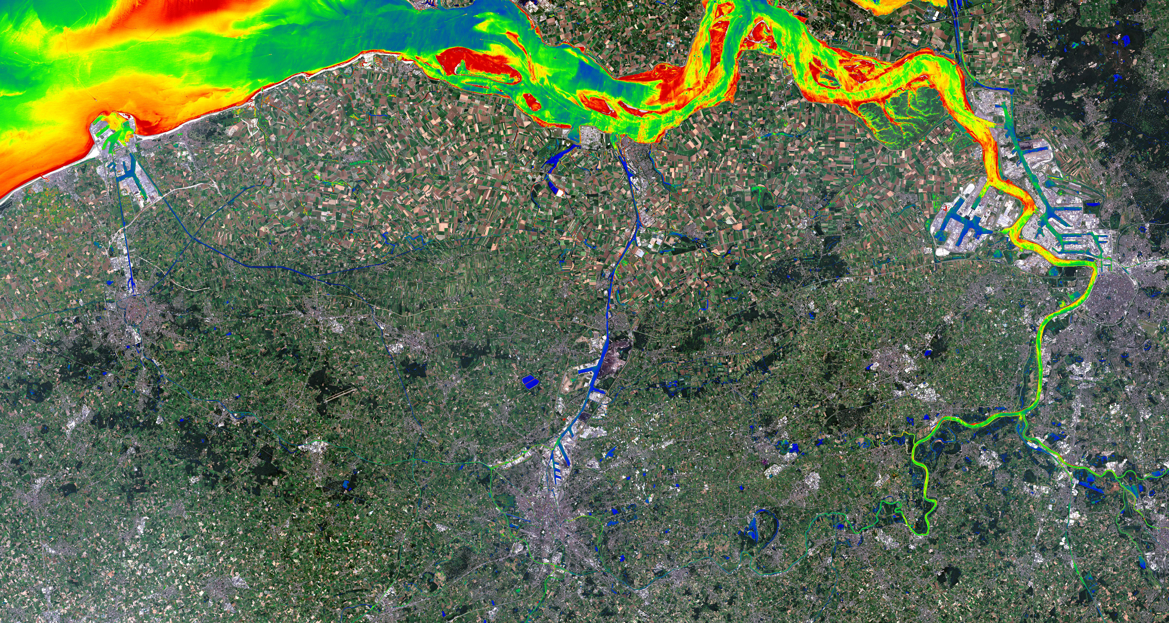
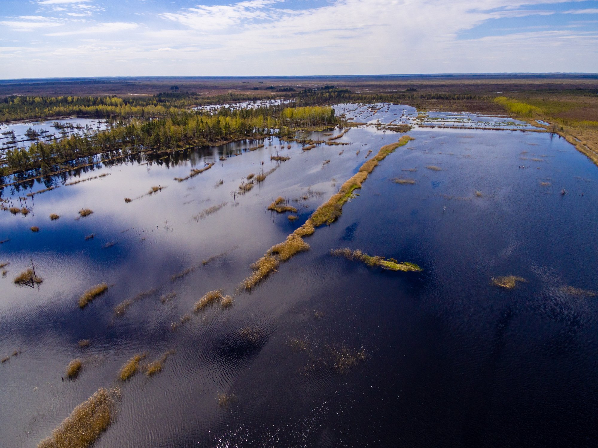
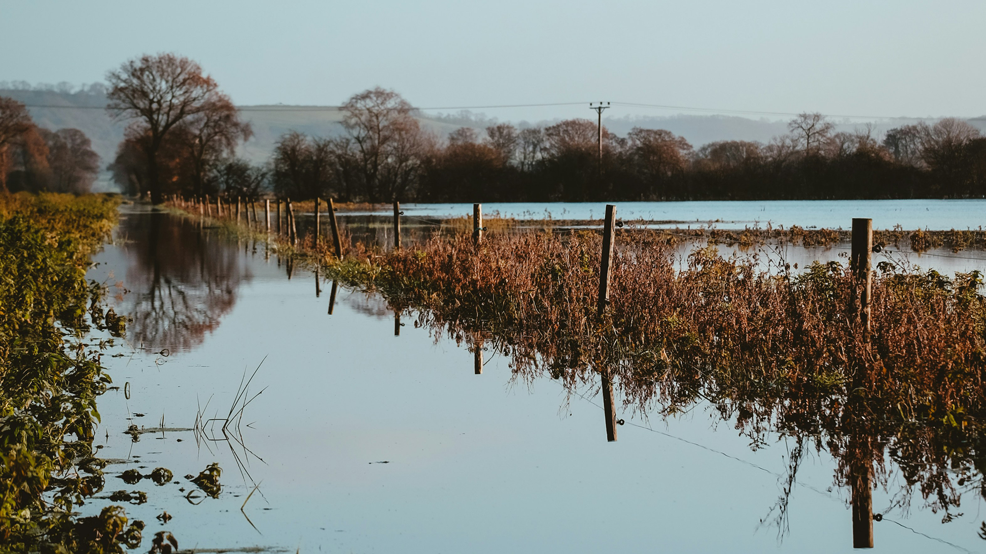
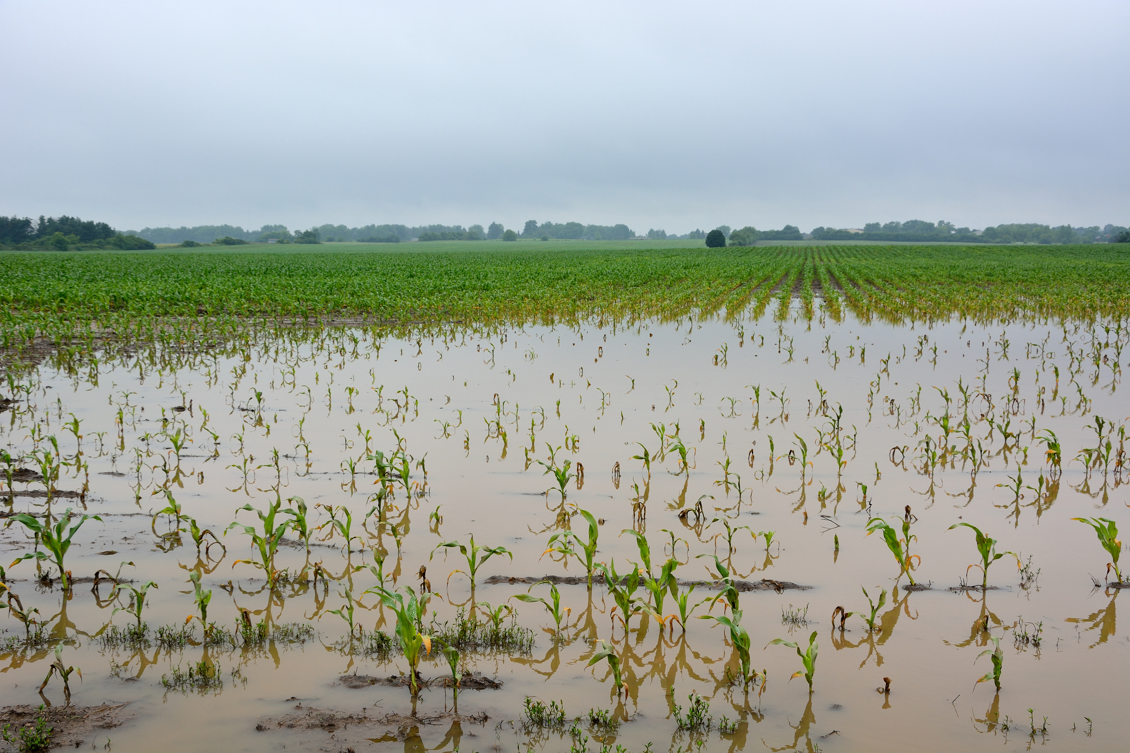
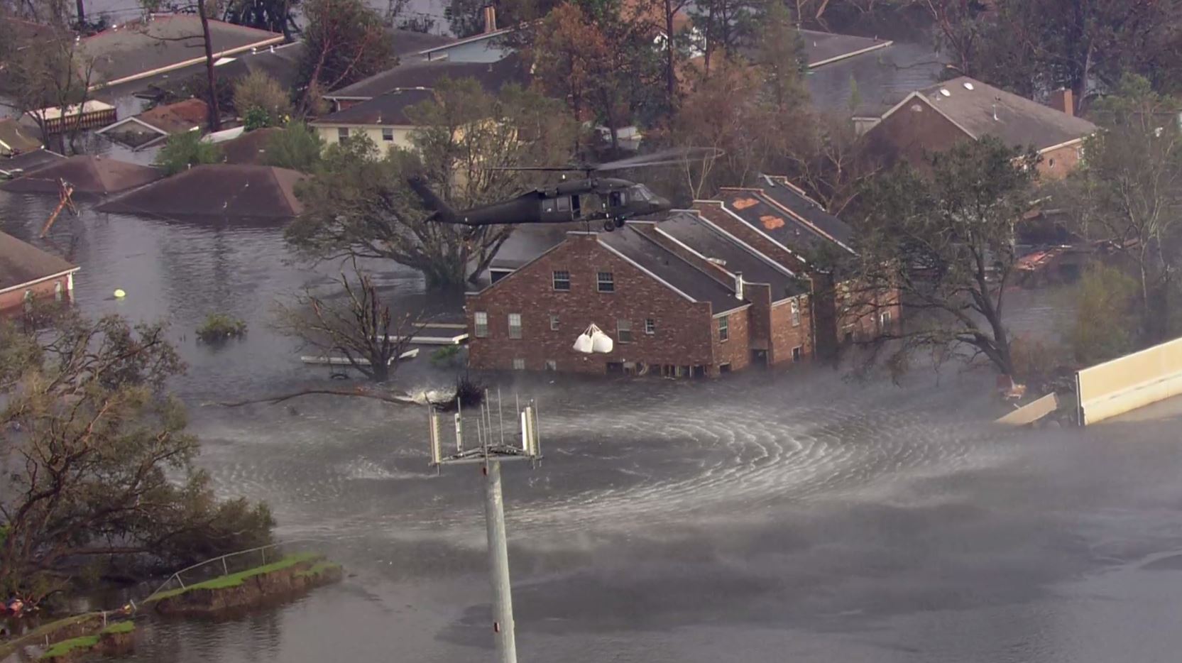
Floods! Unfortunately, they are happening all over the world and occurring more often and more intensely due to climate change. There is an urgent need..
Satellites gather an extensive amount of Earth Observation (EO) data. Despite this data's availability, there are still challenges in extracting relevant..
Land degradation affects the livelihoods of millions of people worldwide. Diminished overall productivity and reduced resilience in the face of climate..
On December 16th, 2022, the new Copernicus Data Space Ecosystem project kicked off with the stringent ambition to become the public go-to platform and..
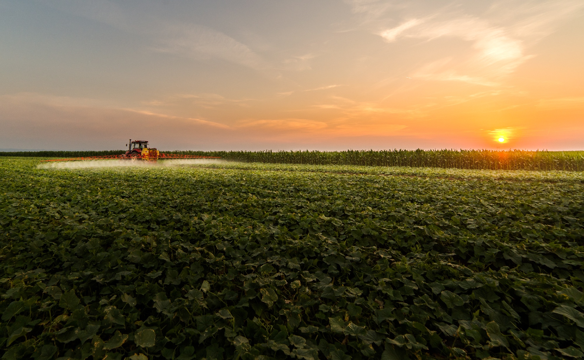
In modern agriculture, the importance of technology & data has significantly increased in identifying suitable control measures. A notable trend is the..
In an ever-changing environment where the consequences of climate change are increasing significantly, the use of Copernicus satellite data becomes even..
Forests play a crucial role to meet the EU's ambitious goals to reduce emissions by 2030 and become climate neutral by 2050, but they are also threatened..
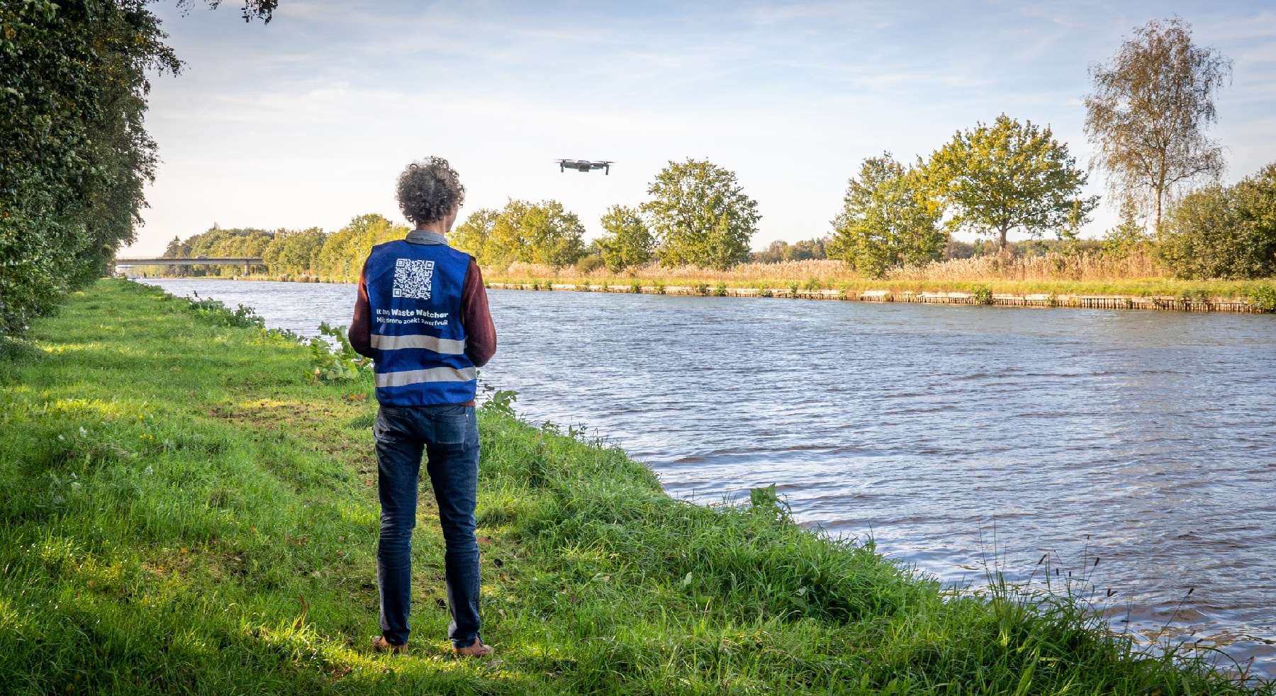
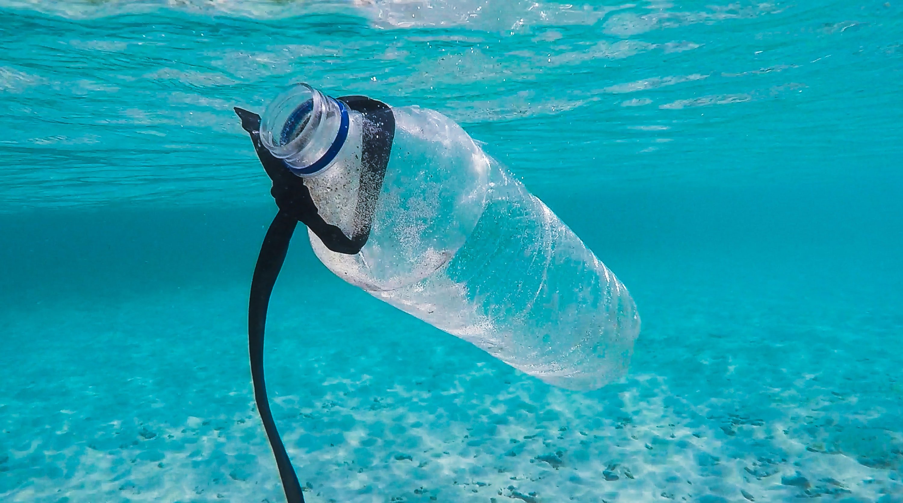
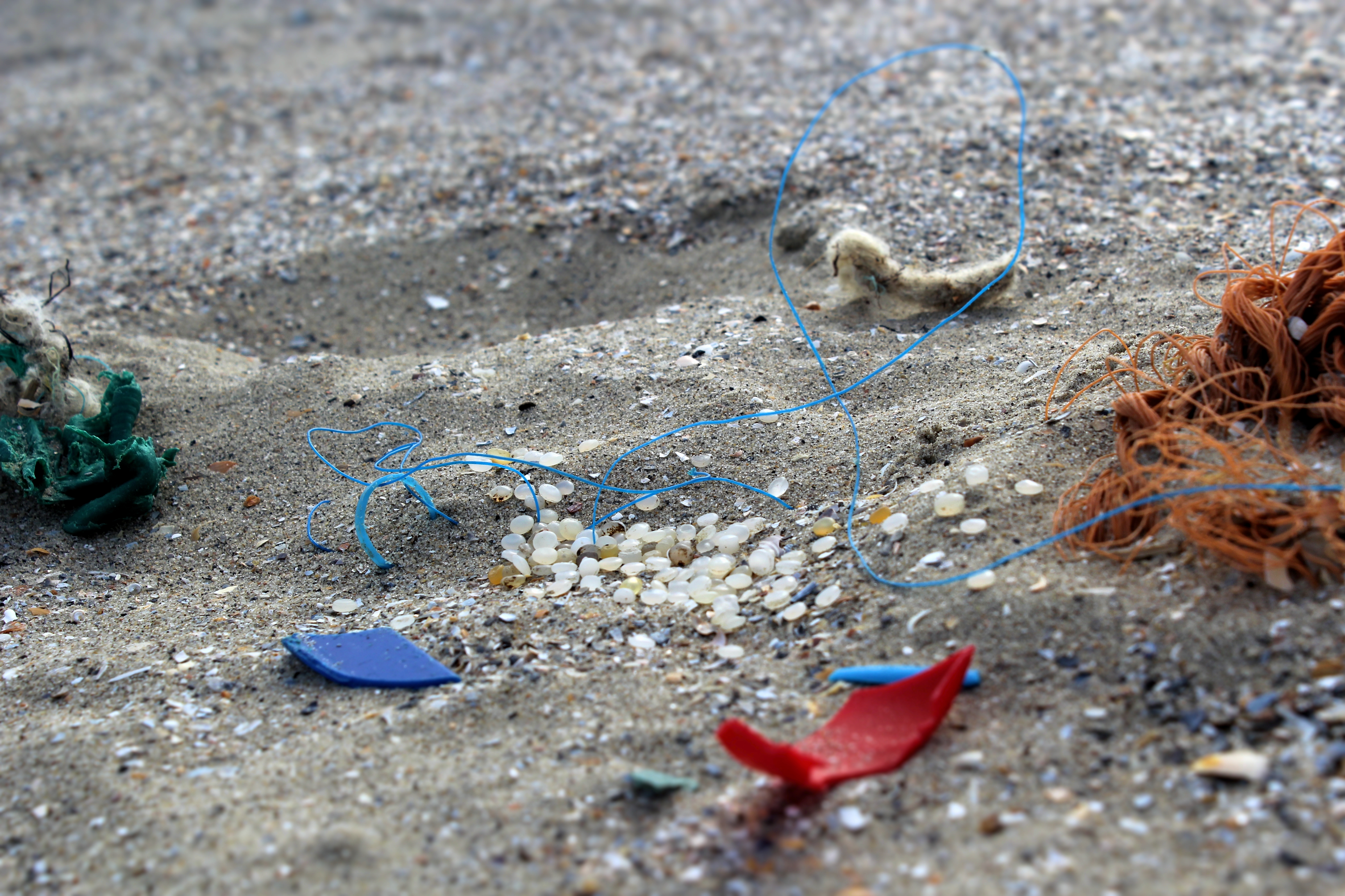
Worldwide, rivers transport 1 million kg of plastic waste into the ocean, every day! The best way to prevent this is to clean up litter while it is still..
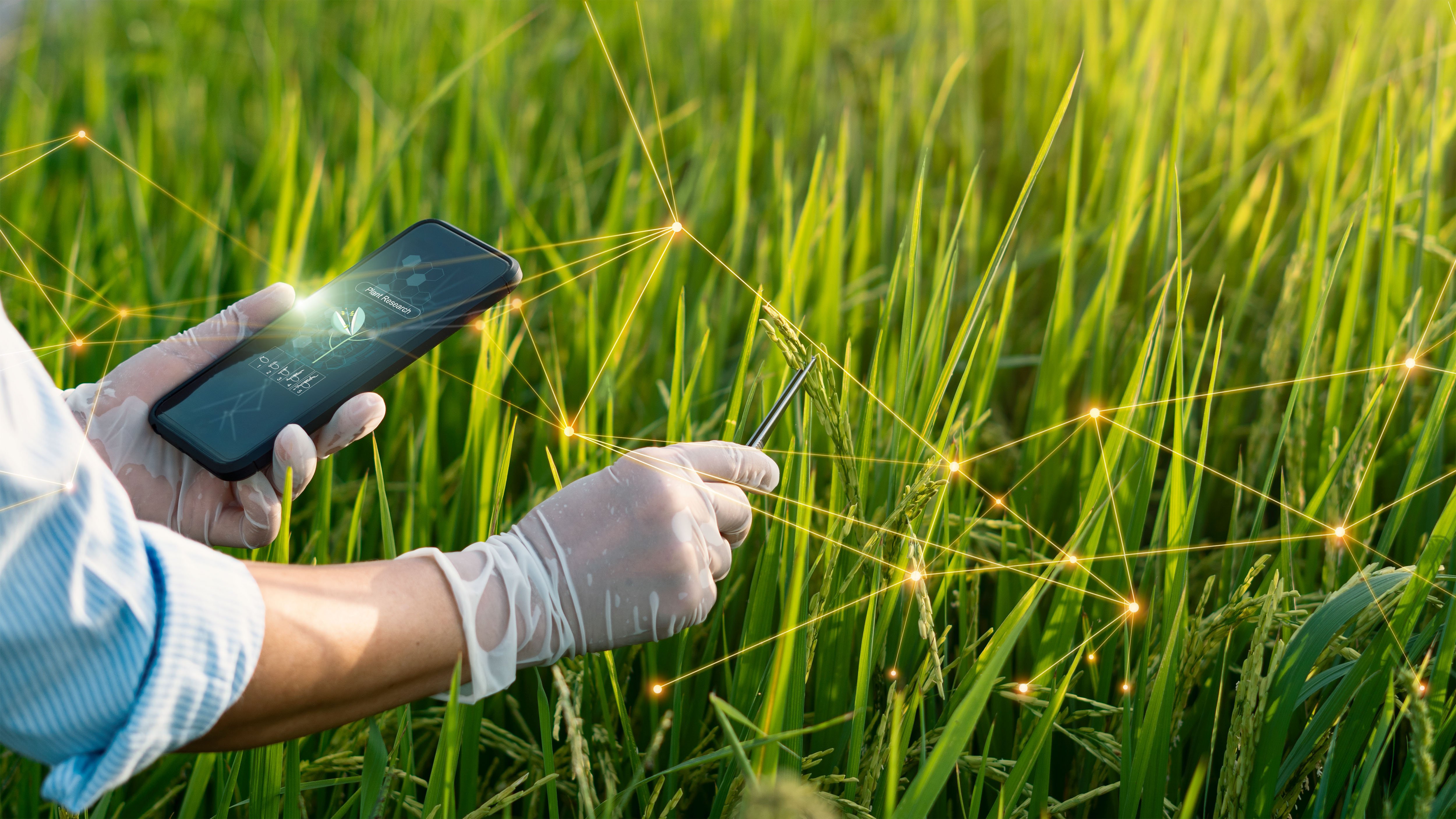
In the ever-evolving landscape of plant phenotyping, there's a pressing need to get more information about the health and growth of the plants growing in..
As the effects of climate change become more apparent, the need for sustainable and climate-resilient agriculture is more urgent than ever. In Flanders..
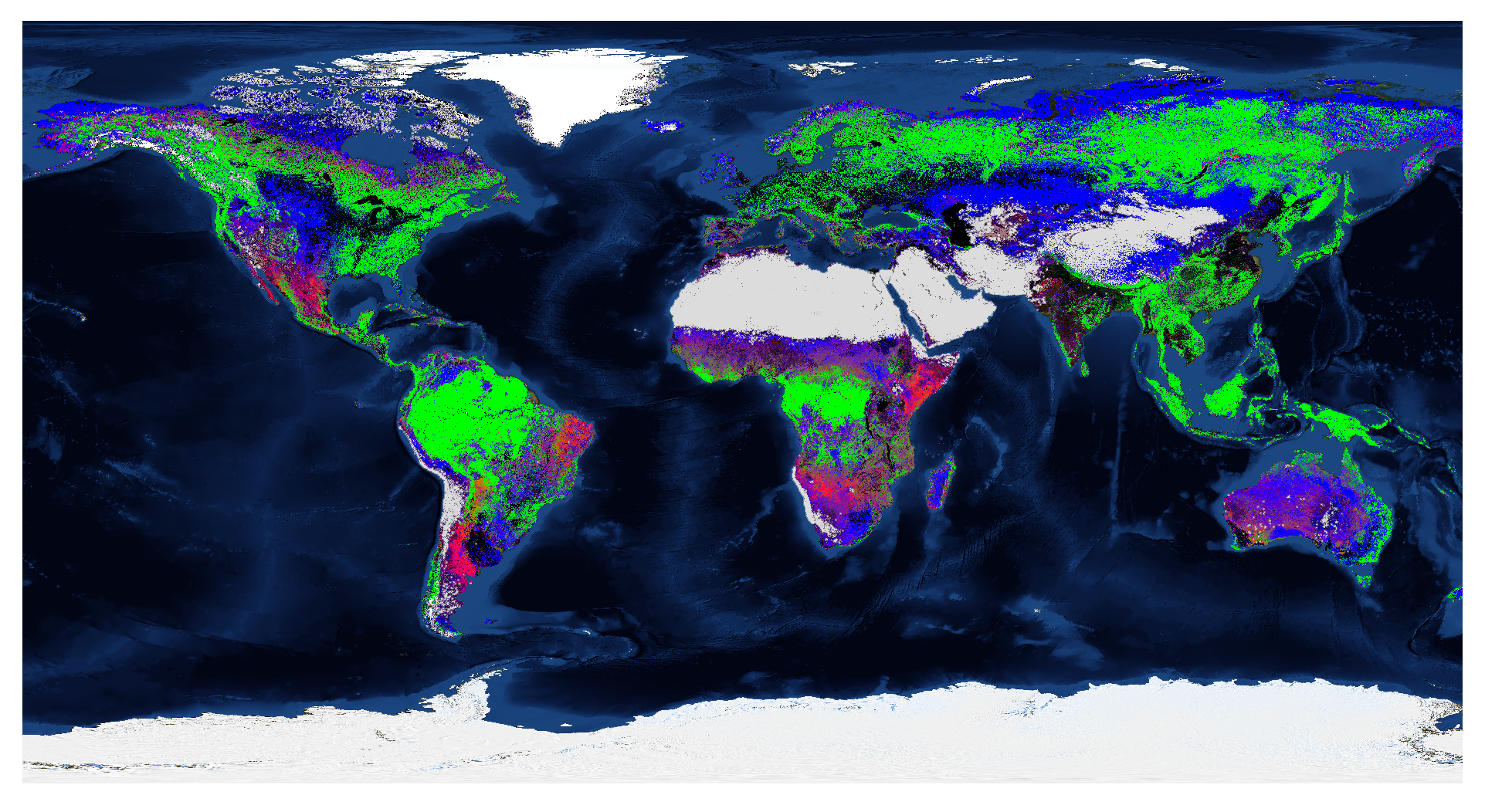
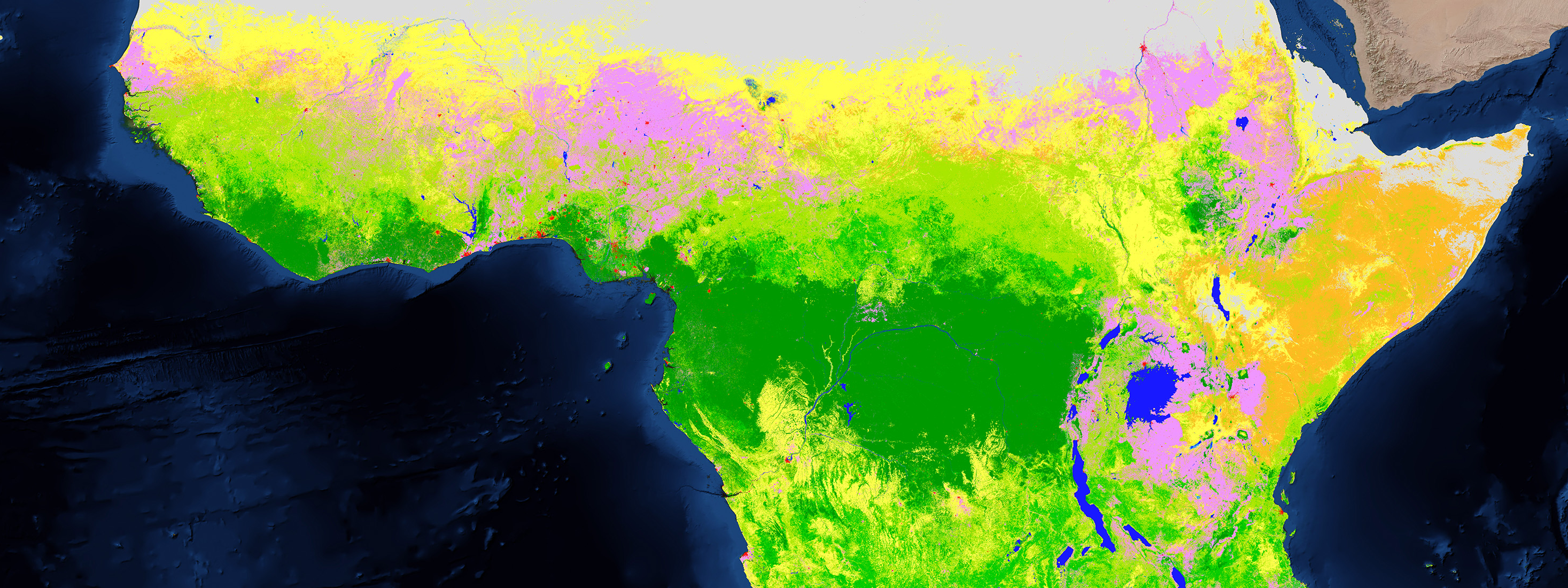
During the development of ESA WorldCover 2020 and 2021, the first global land cover maps at 10 meters resolution based on Sentinel-1 and Sentinel-2, we..
The OpsDrone project, funded by VLAIO, wants to boost the use of drone services for agricultural applications. One of the big future trends we see in..
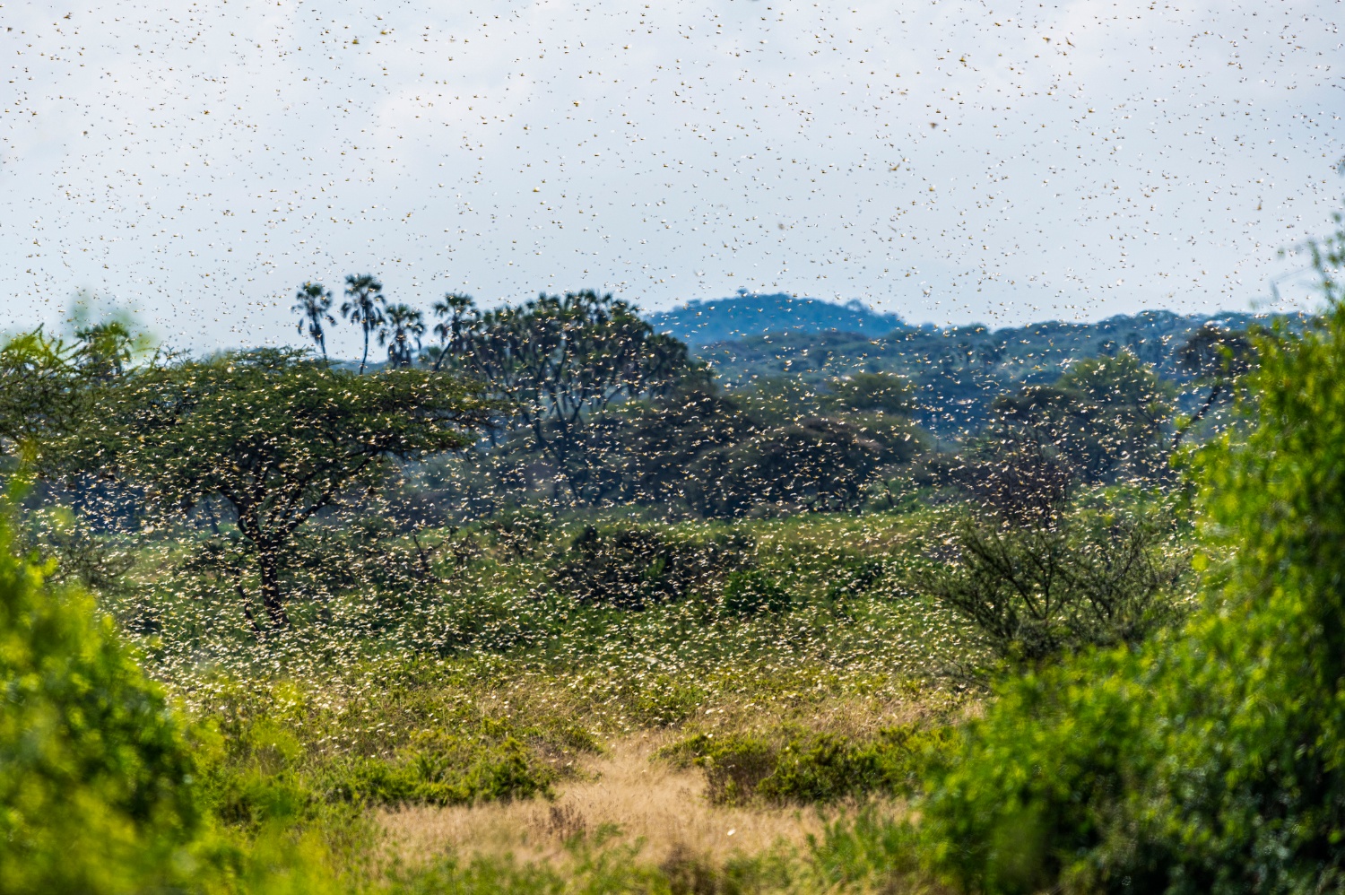
The desert locust is one of the most destructive pests in the world. A small swarm can contain 80 million locusts and cause widespread damage to crops and..
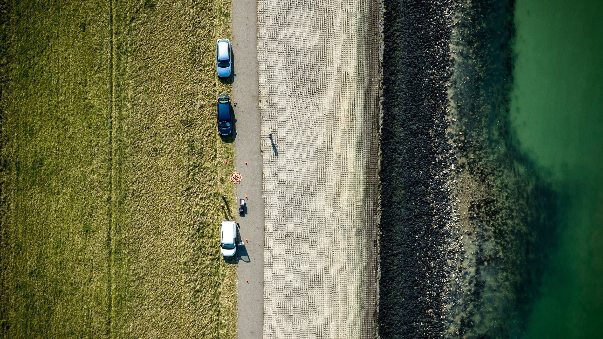
Flanders is a water-scarce region. Yet a lot ofusable water remains unused. A large amount of water is discharged into the sea via watercourses or the..
When using a SaaS platform to manage drone missions and analyze the data delivered, companies expect it to be easy, flexible and completely open. They..
With the huge amount of data being collected by several Earth observation missions, limitations in data downlink capacity and storage have become a major..
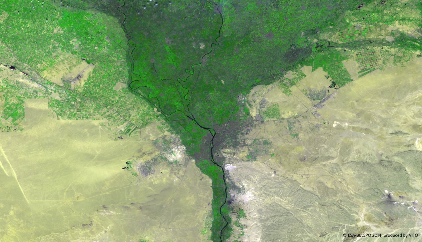
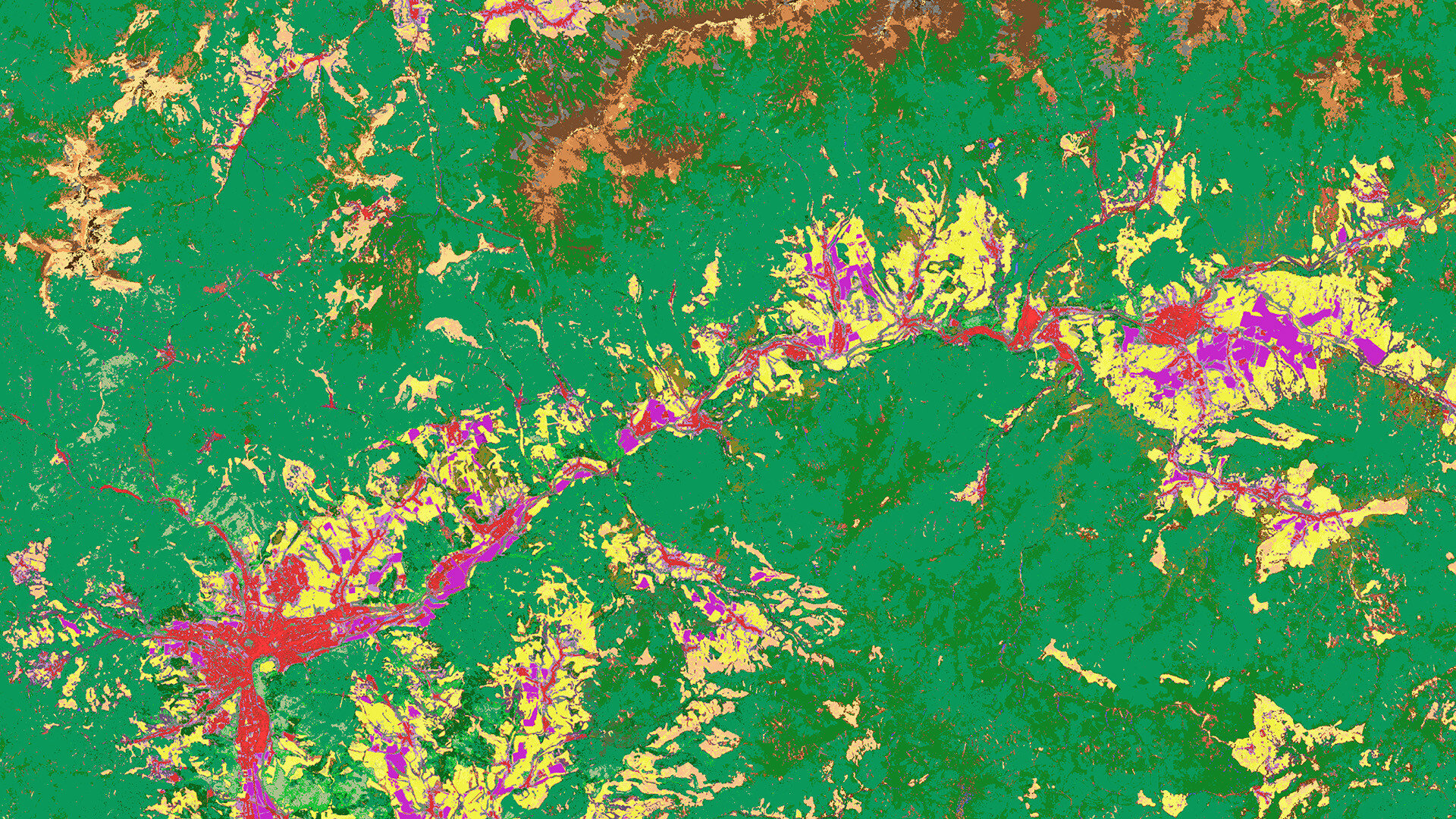
Timely information on land cover and land cover change is crucial to understand anthropogenic pressures on our environment, the state of ecosystems, and..
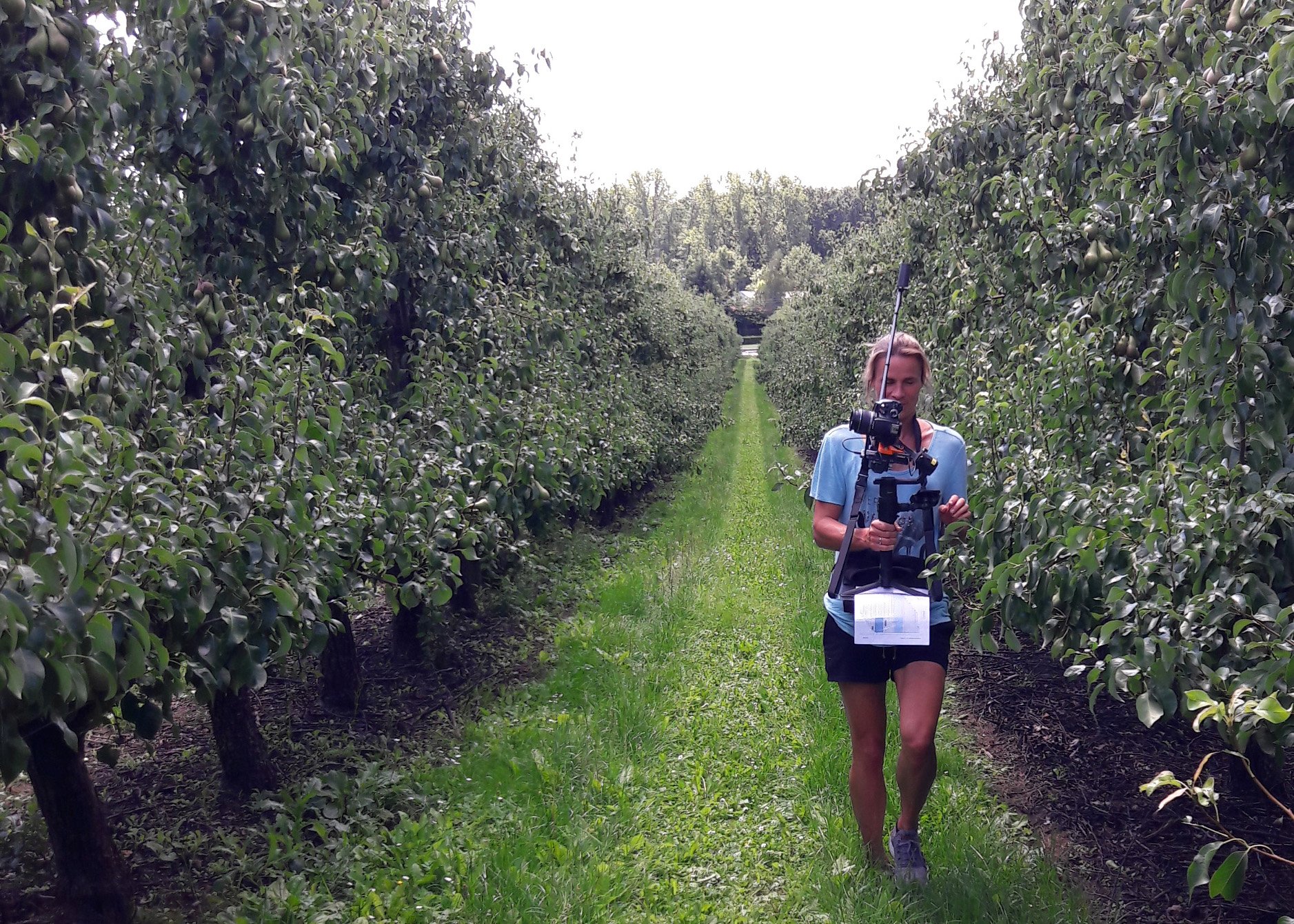
Fruit growers are constantly monitoring crops and optimizing their management in order to produce as many high-quality fruits as possible. But how much..
One year after the release of the WorldCover 2020 map, i.e. the first global land cover product at 10 m resolution based on both Sentinel-1 and Sentinel-2..
Habitat Mapping is a key tool to assess progress towards the European Biodiversity 2030 targets as well as the global Aichi targets and more particular..
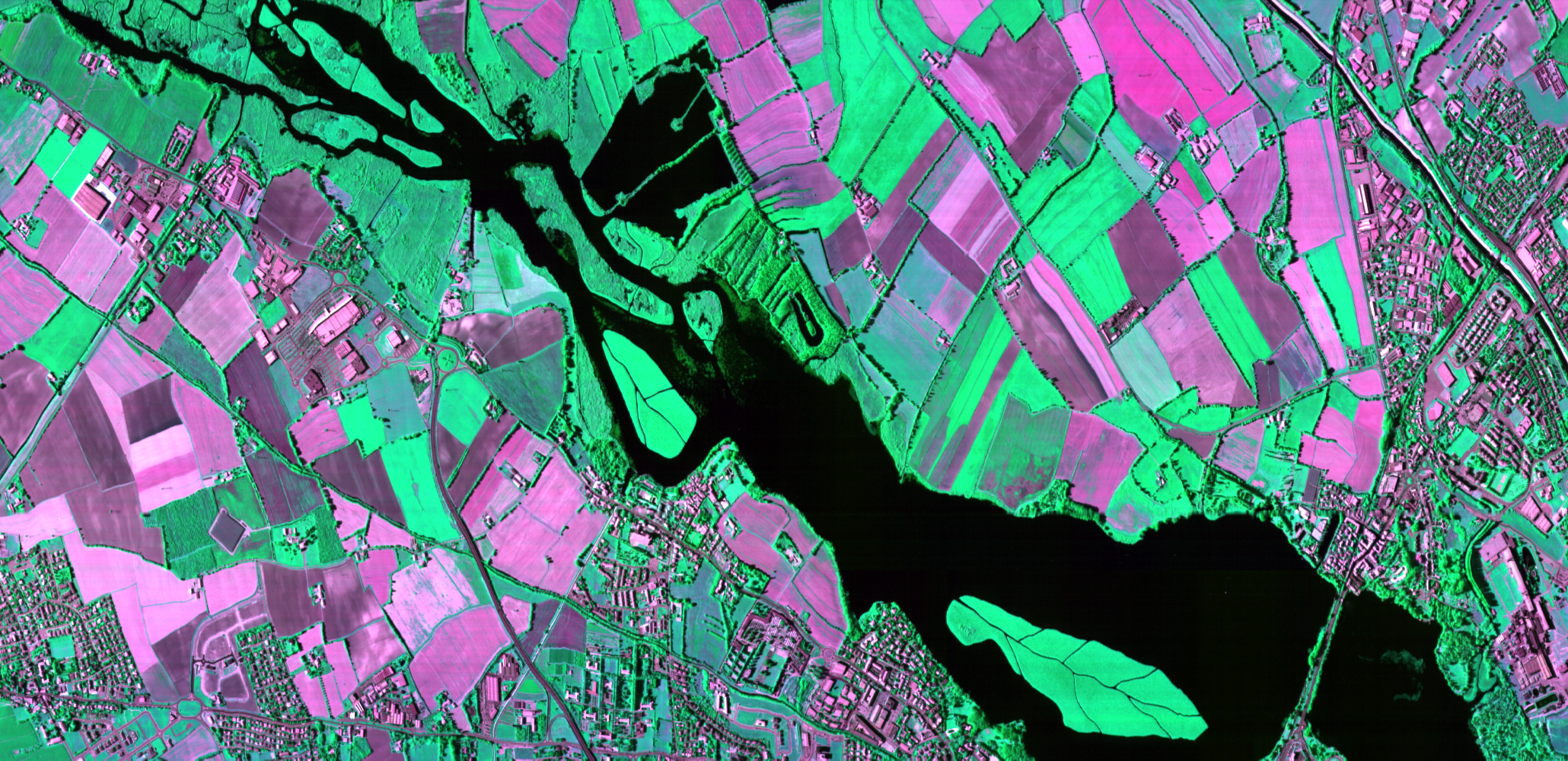
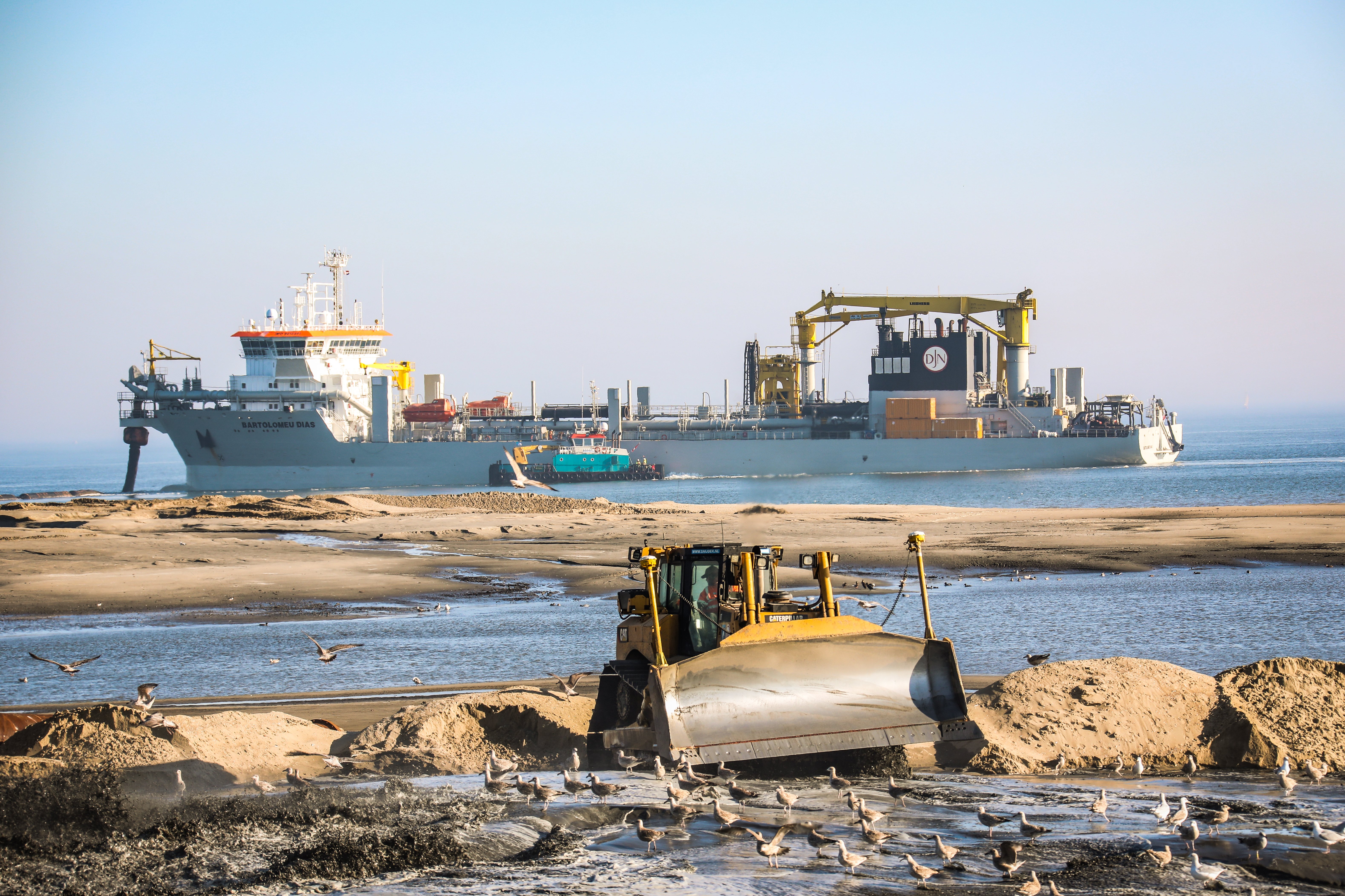
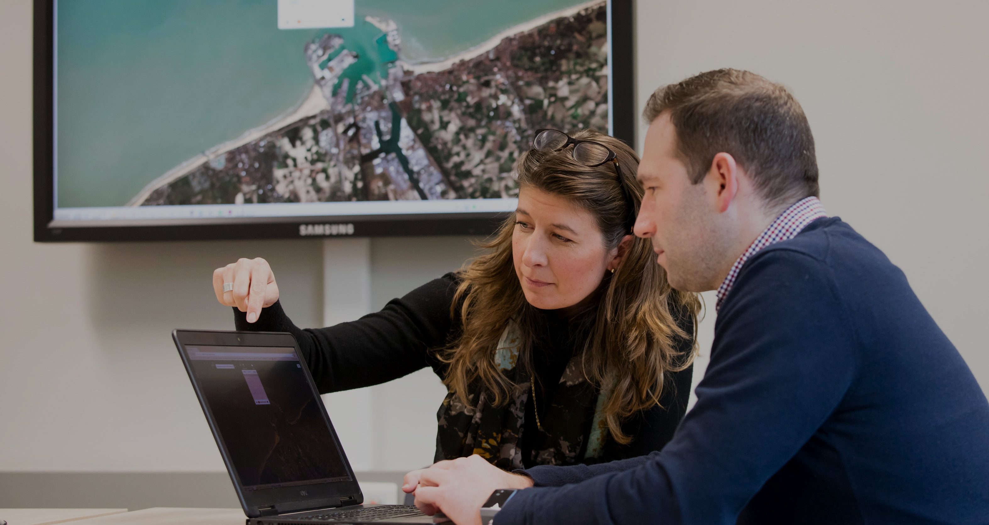
In the Netherlands, Rijkswaterstaat is responsible for the management and maintenance of the main infrastructure facilities including the waterways. In..
Seed breeding trials are hard work. Companies engaged in seed breeding put a lot of money and effort into maintaining and monitoring experimental plots in
Last summer extreme rainfall caused devastating floods in the South of Belgium. This summer we’re experiencing a major drought, the fifth in the last six..
Data driven resource and asset management, and situational awareness applications force governmental organizations and companies to arrange their own..
In a world filled with Earth observation data and innovative image processing technology, we are privileged to access and offer EO-based services which..
Sharing information and knowledge is part of our DNA and our commitment to make all investments in space pay off, including here on Earth. For you too!
The goal was clear. In the agricultural experiment of ‘CurieuzeNeuzen in de Tuin’ we wanted to monitor the impact of heat and drought on the cultivation..
What started as a yield prediction and monitoring tool for the Belgian potato sector has grown into an open and holistic platform that supports the entire..
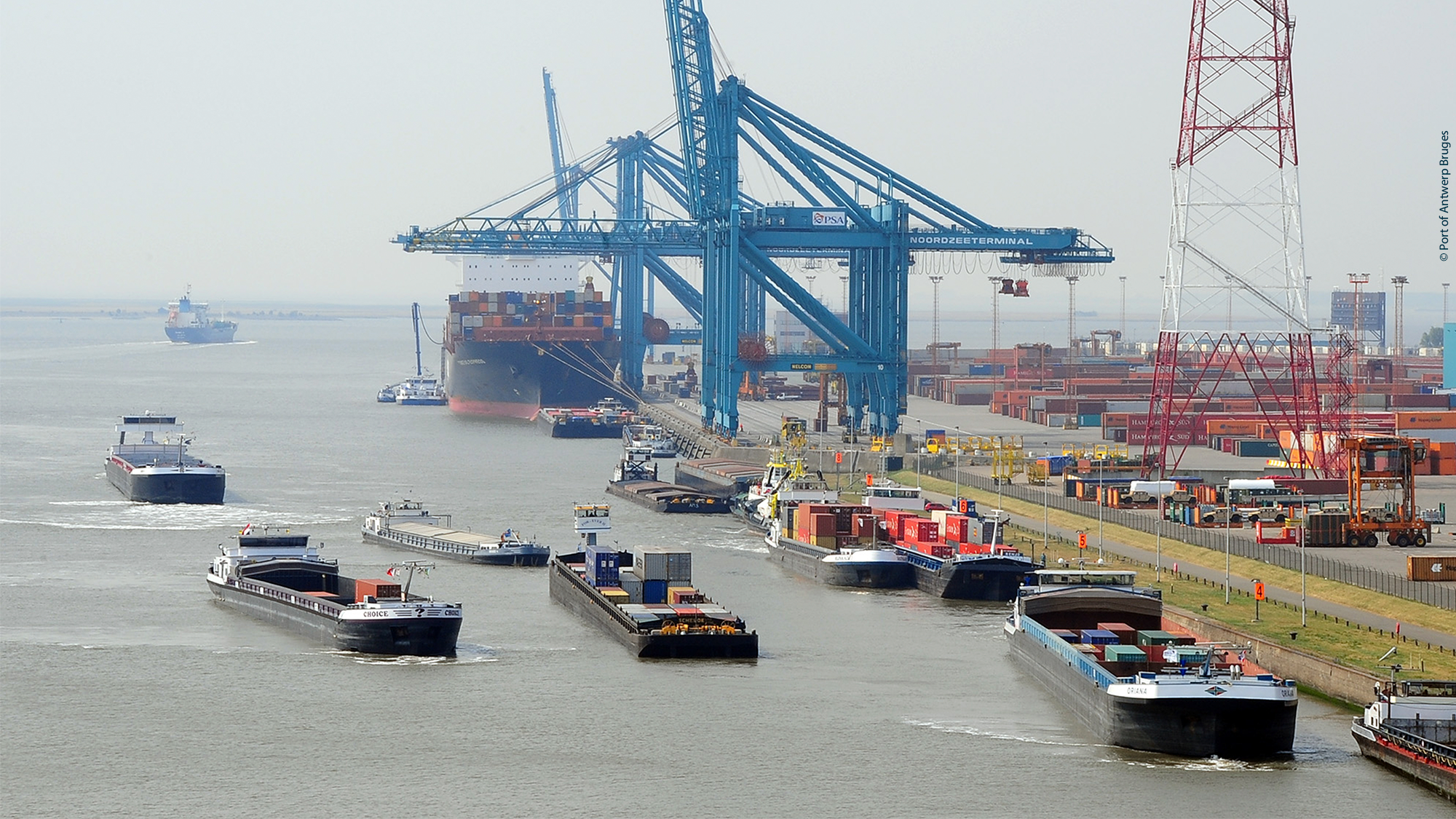
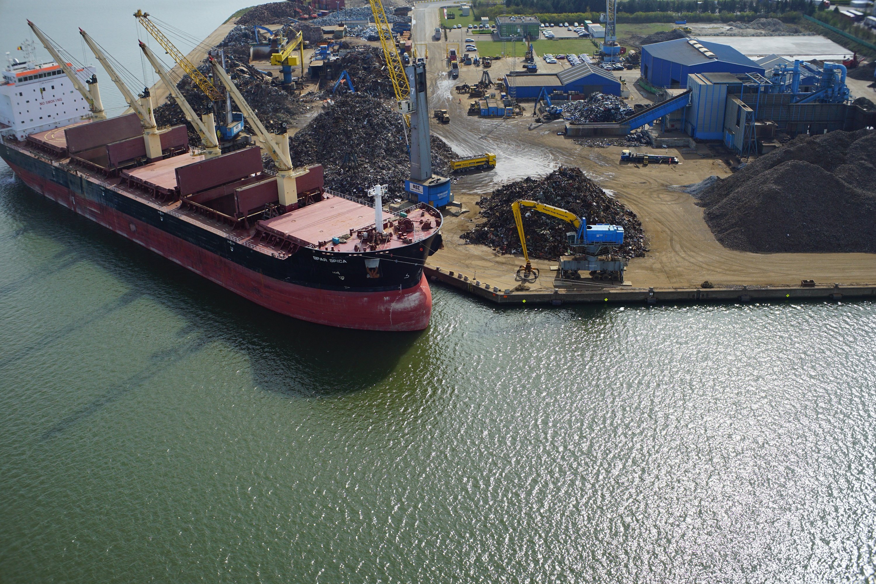
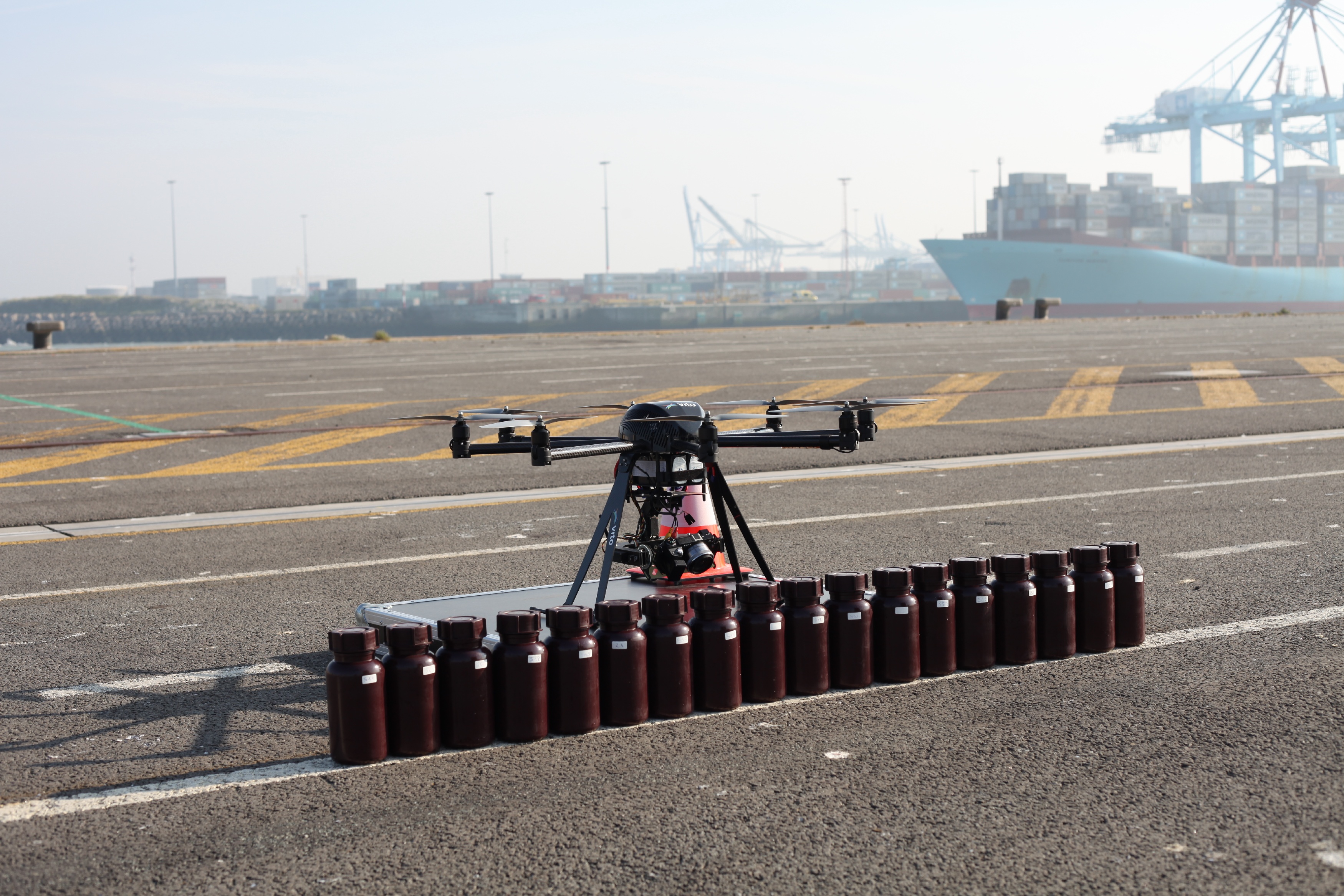
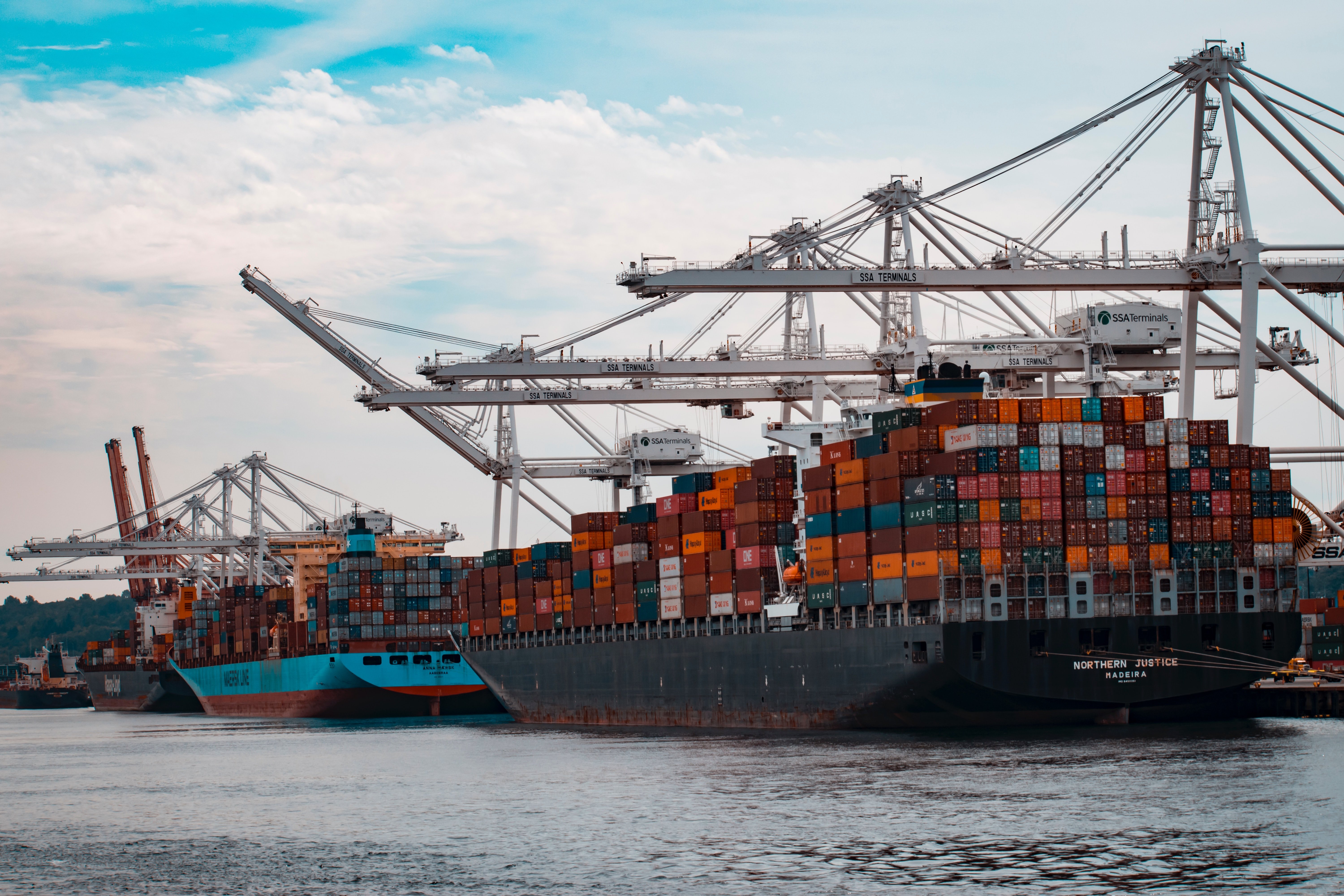
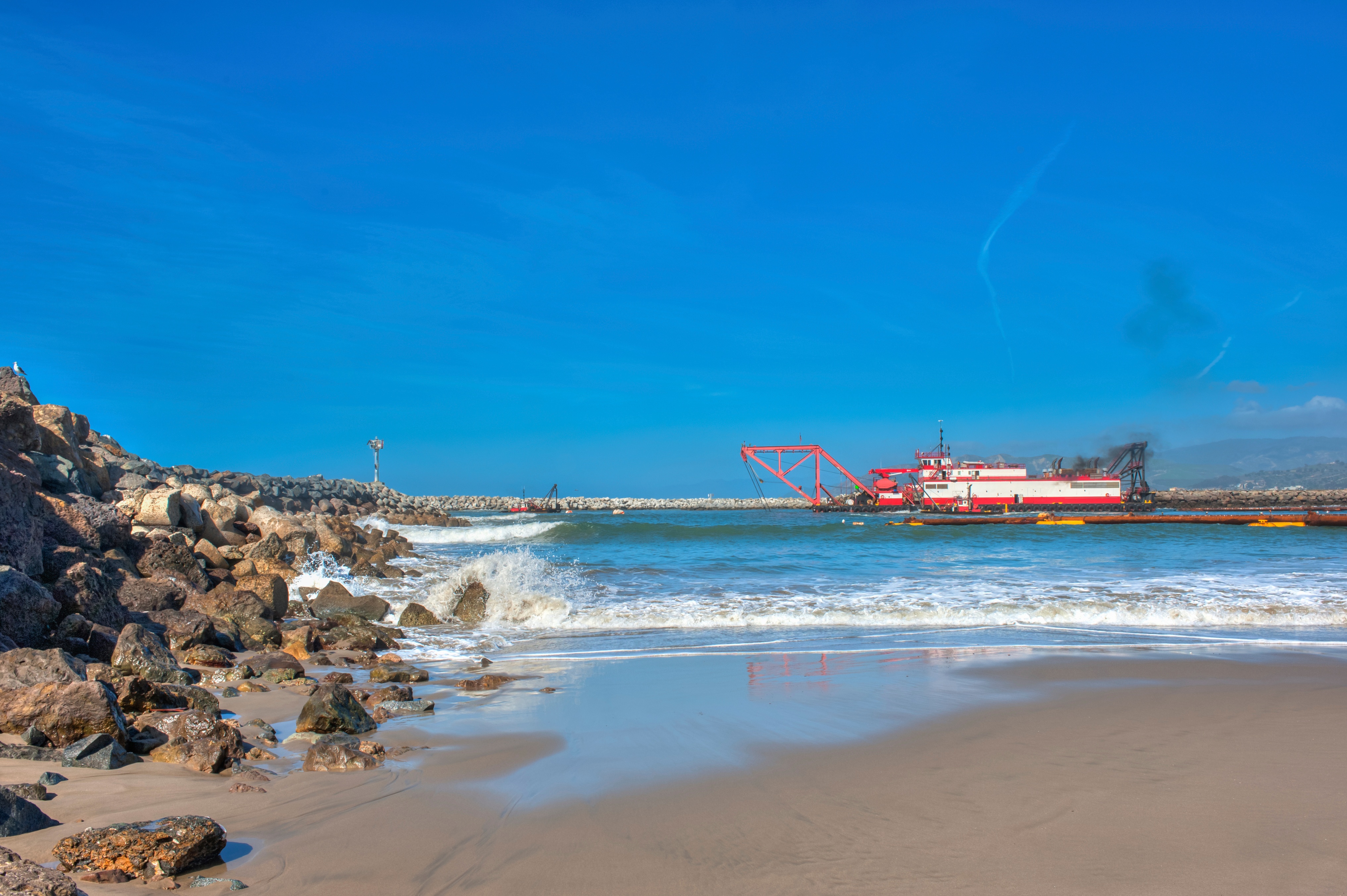
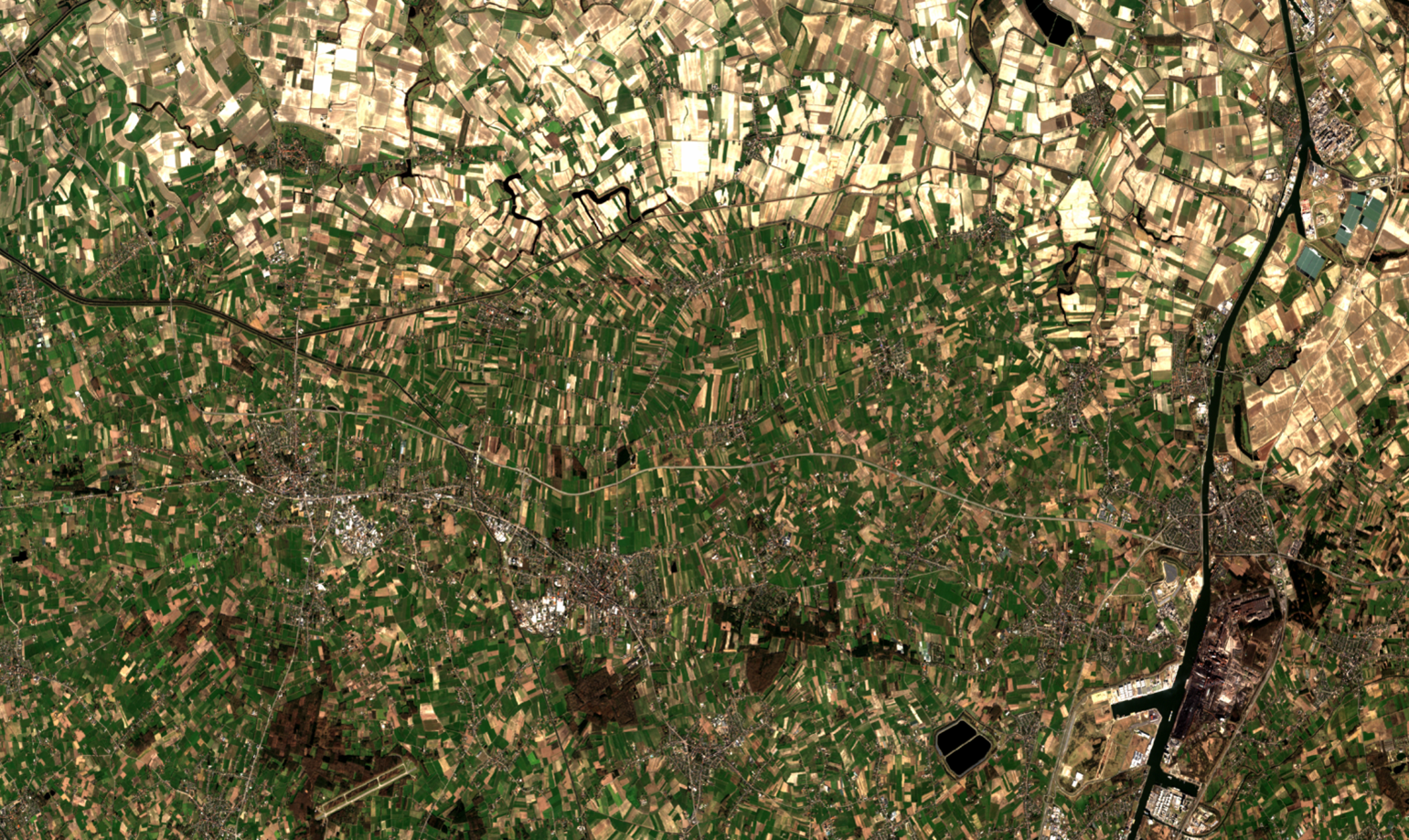
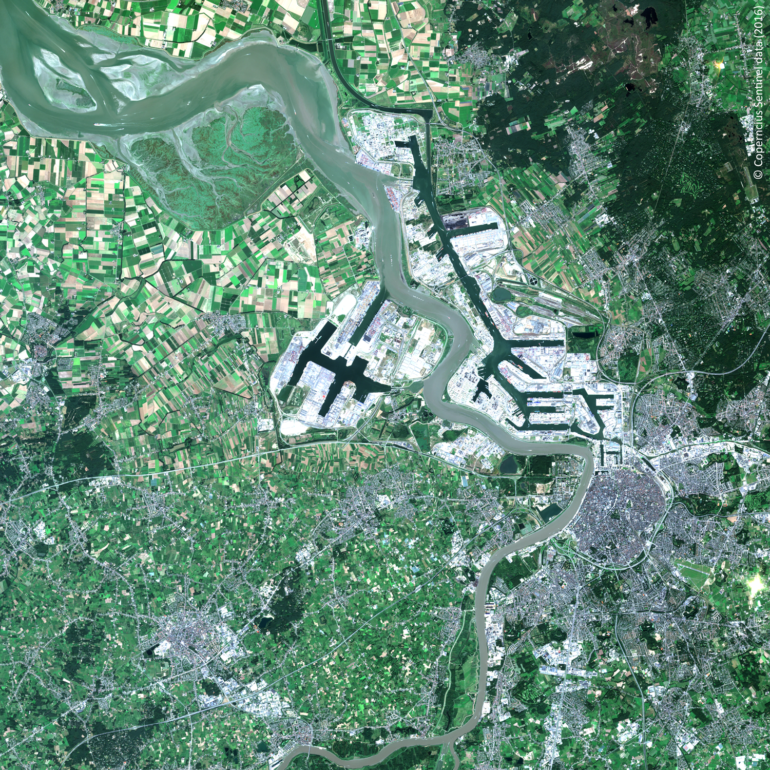
The Port of Antwerp is one of the largest ports of Europe. A massive number of ships arrives every day to load and unload as quickly as possible. No time..
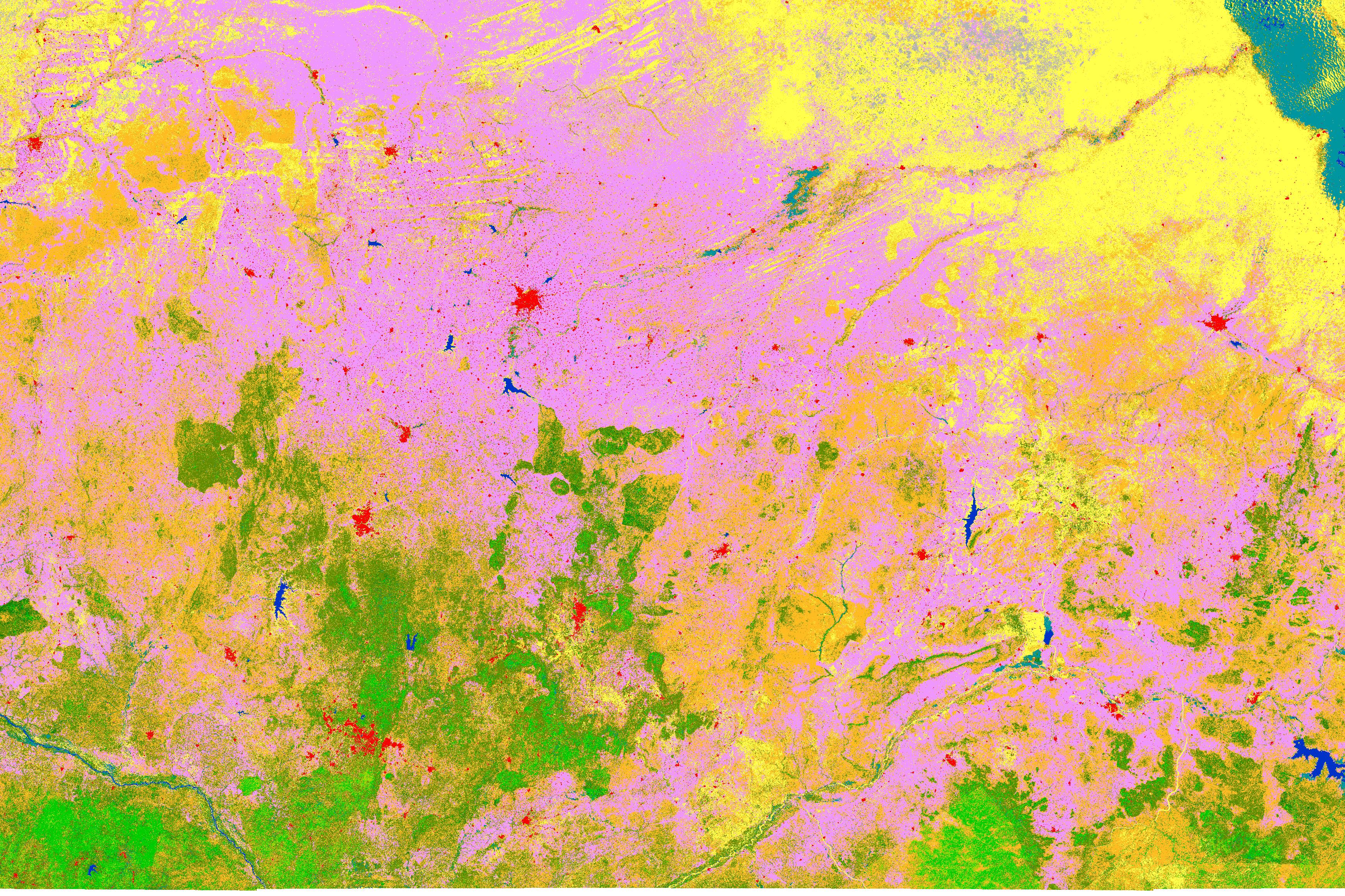
In 2019 we kicked-off ESA’s WorldCover project. An ambitious project set up to develop a new global land cover map at 10 m resolution to provide valuable..
In spring 2021, the largest citizen science campaign ever on the impact of heat and drought in Flanders’ gardens & fields ‘CurieuzeNeuzen in de Tuin’ took..
ESA WorldCereal’s challenging task is to build an open-source classification system for seasonal crop mapping at the global scale. For every 10 m X 10 m..
About a year ago, we introduced you to the H2020 e-shape project. Based on user need analysis, we started updating and developing agricultural services to..
The EU Water Framework Directive requires the EU member states to classify their surface water bodies according the ecological status into high, good,..
In the framework of the H2020 FOCUS project, an automated workflow has been developed to early detect individual trees affected by the Pine Wilt Nematode..
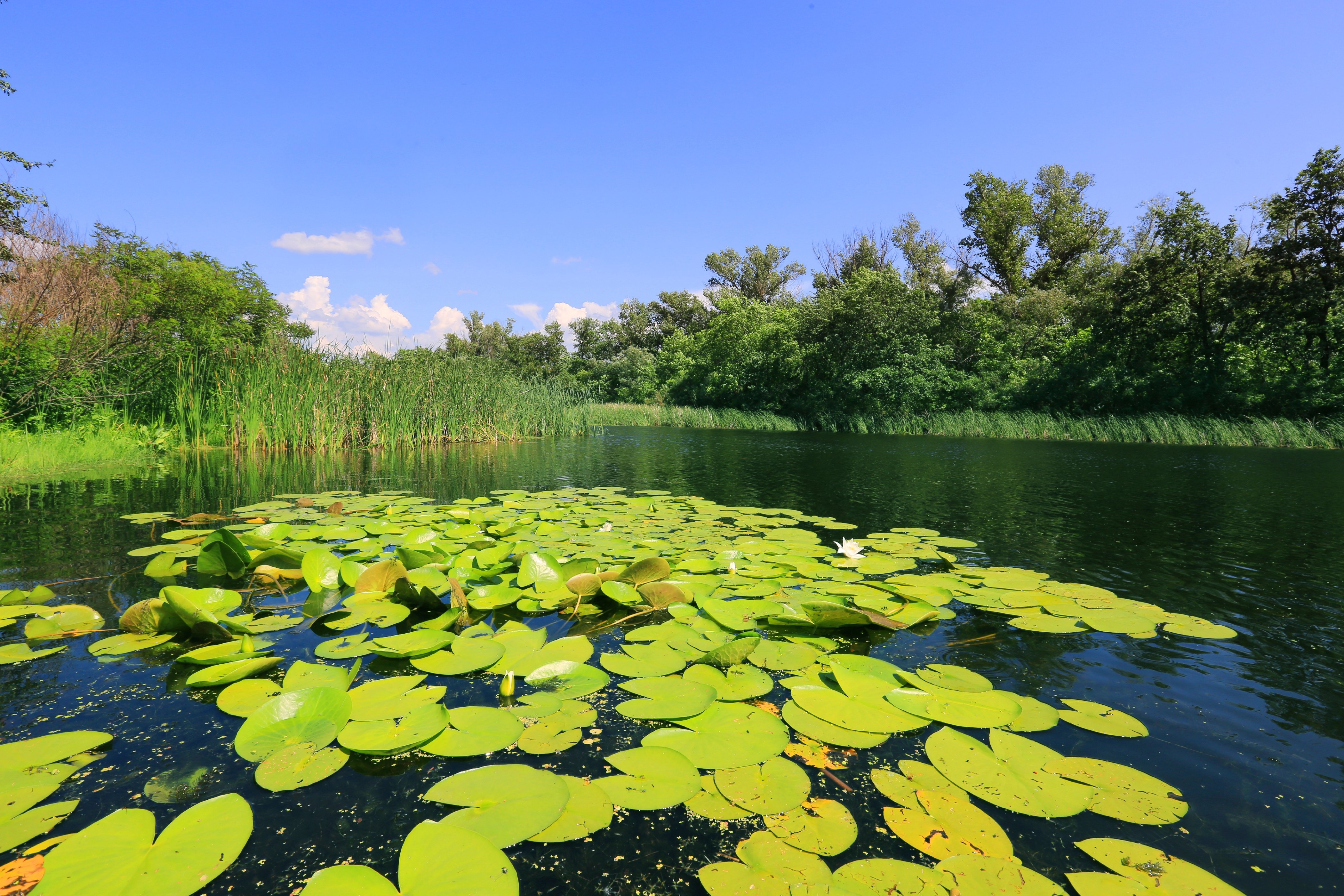
Rivers, creeks, lakes, oceans, … are key components in the hydrological cycle. We use them for drinking, irrigation, transport , recreation,… and they..
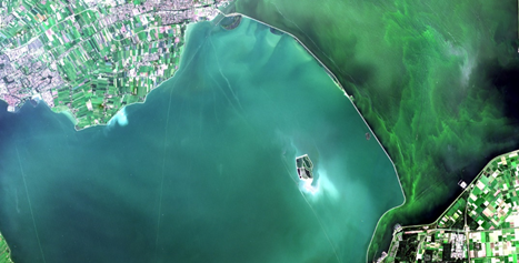
After releasing the iCOR plug-in for Sentinel-3 Ocean and Land Colour Imager (iCOR4S3) in 2019, a thorough validation was performed using among others the..
Remote sensing and agriculture have been a winning combination for a long time. For us it all started in our early years with the start of the EU MARS..
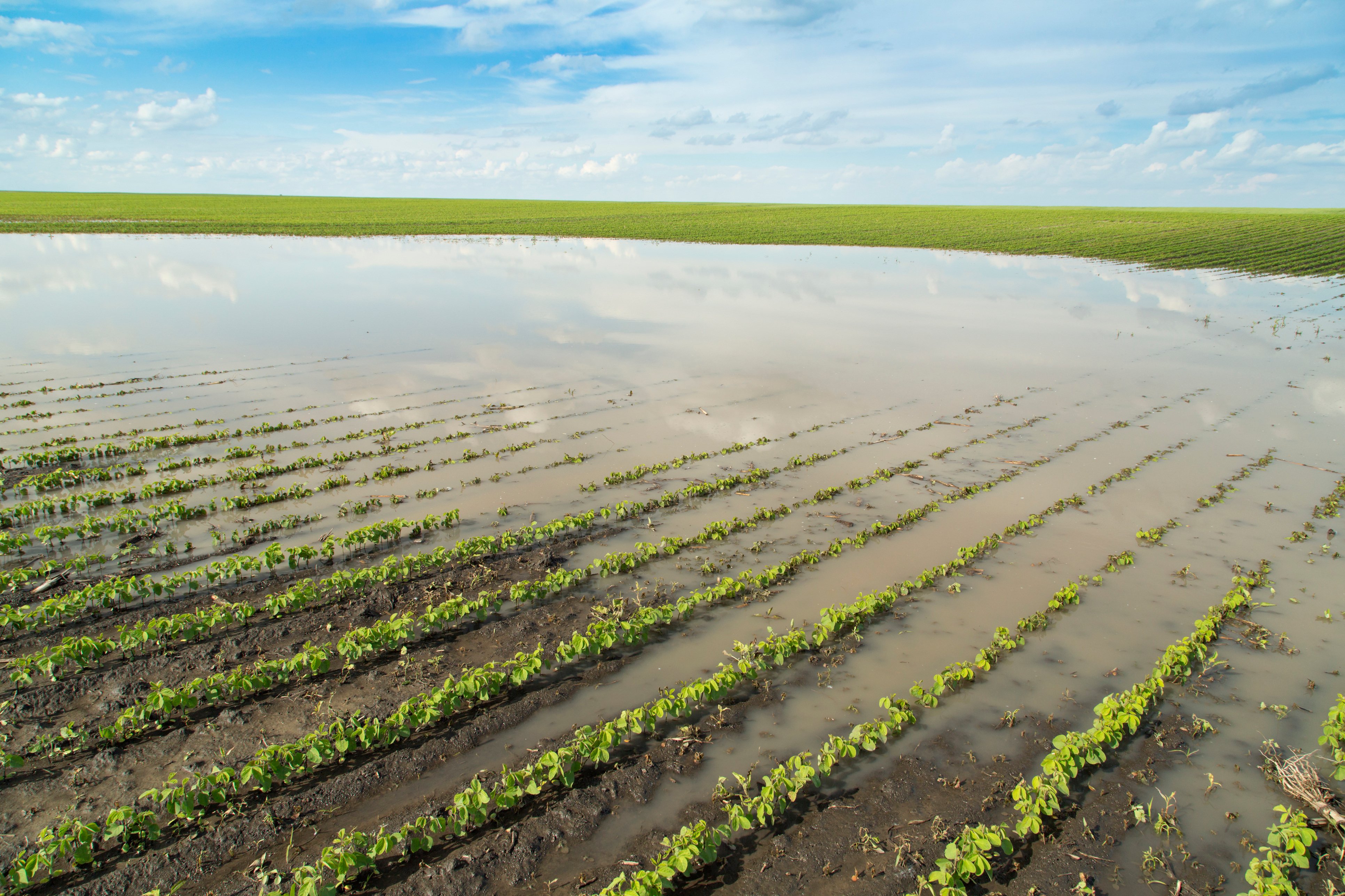
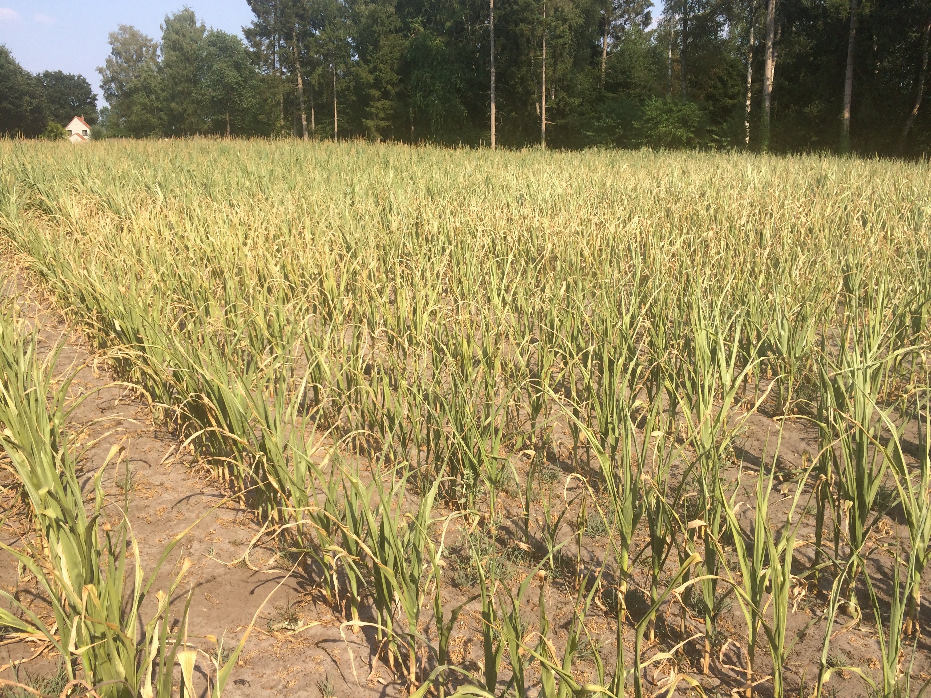
Belgian farmers grapple with drought. For the last four growing seasons, parts of Belgium have faced drought from April to September. According to the ..
The Sentinel-1 and Sentinel-2 satellites continuously provide new high-quality Earth observation (EO) data. This means that for Flanders we can access new..
Remote Sensing offers an attractive way to gather information on Earth’s surface processes. Public and private sectors are much aware of the benefits EO..
The use of drone imagery has revolutionized plant phenotyping research tremendously over the past few years. You can not only obtain more detailed and..
Last year, the European Space Agency finalized the GlobDiversity project, the first large-scale effort set up to develop and engineer remote sensing-based..
The “typical Belgian weather” is characterized by a sequence of wet and dry spells, cold and warmer episodes, usually following each other in a sequel of..
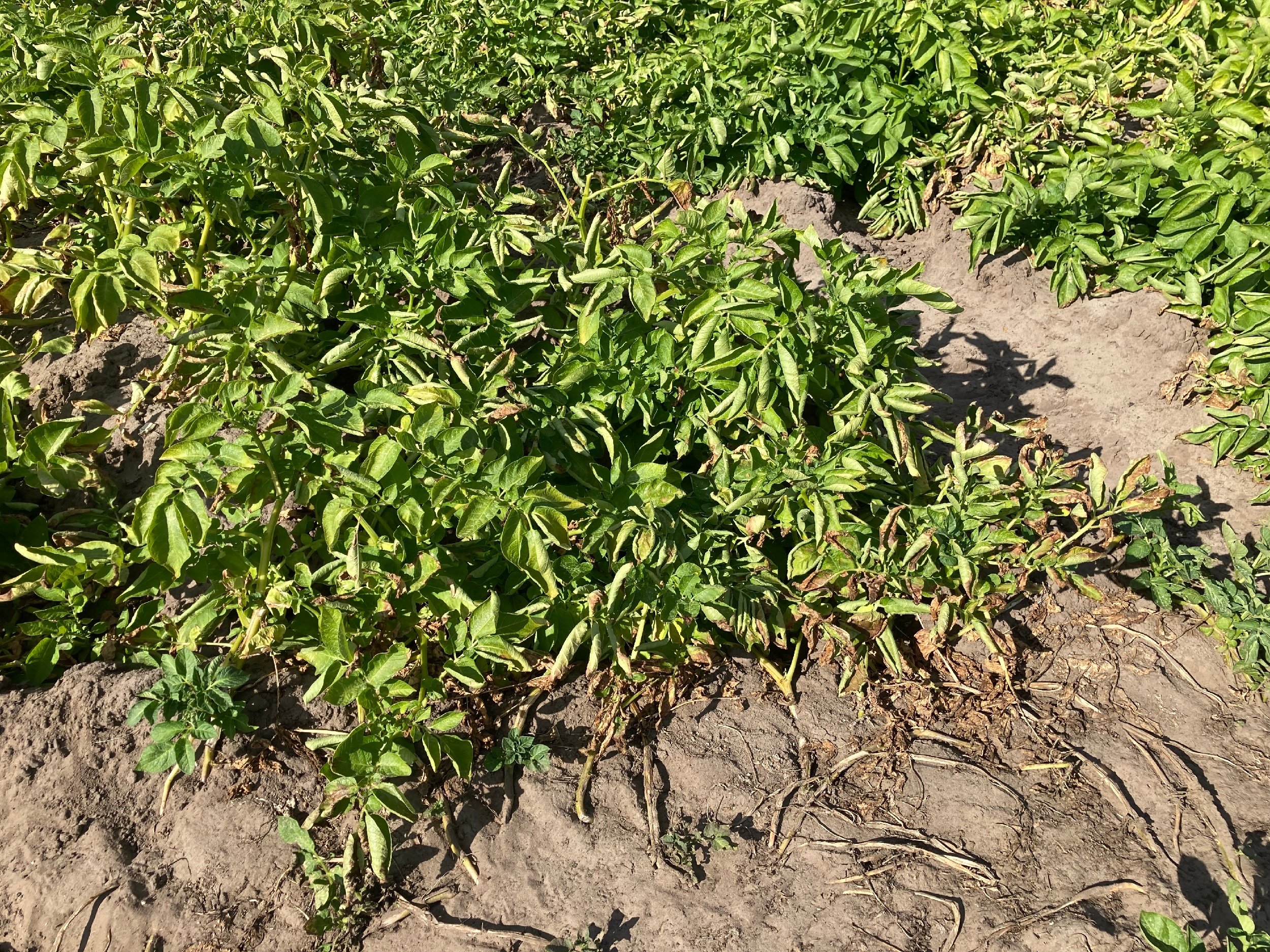
To boost productivity and ensure food security, we need to protect our crops. The use of disease-resistant crop varieties represents an important means to..
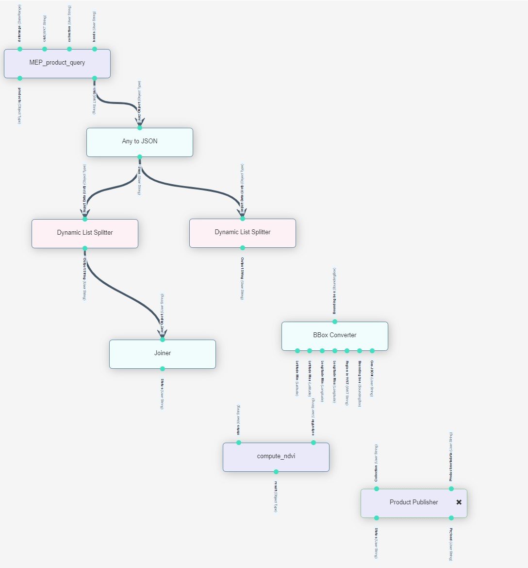
For the last 1.5 years, we have been working on a proof of concept to simplify running your algorithms on our 100+ node cluster, and more easily share..
Geospatial data and remote sensing services have grown to powerful tools in search of true information about our environment, society and economy. Many..
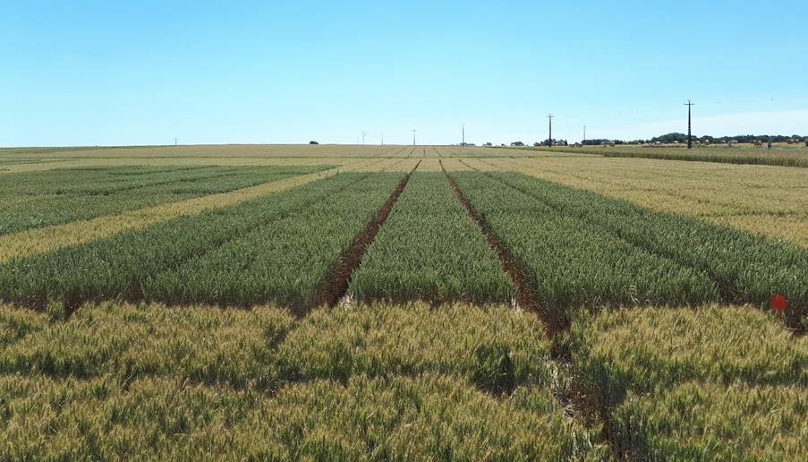
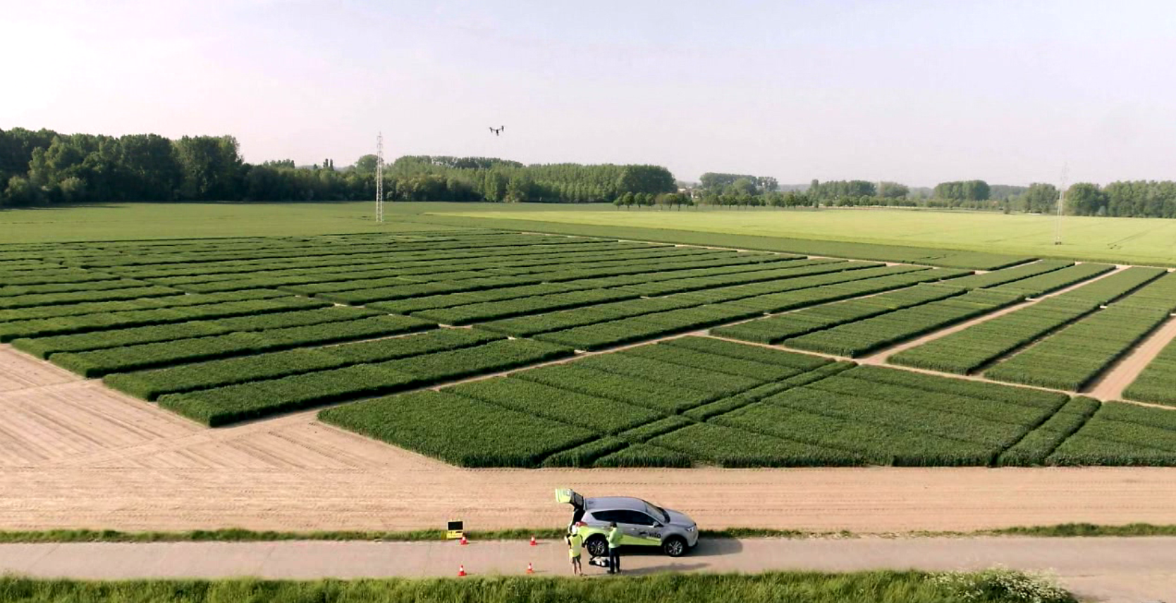
In agricultural field experiments we examine plant traits to evaluate new seeds or agro-chemical products. Ideally the soil fertility is as homogenic as..
ESA’s WorldCereal project aims to develop an efficient, agile and robust EO based system for timely global crop monitoring at field scale. This is a huge..
Europe has the ambitious objective to become a sustainable region by 2030. Circular Economy, Farm to Fork, Zero Pollution, Natural Capital, a modernized..
At the beginning of 2020, we already showed you how we use PROBA-V observations to map annual land cover changes. After sharing these promising annual..
Drone imagery has been revolutionary for agricultural research applications; allowing us to understand plants, plant traits and the impacts of various..
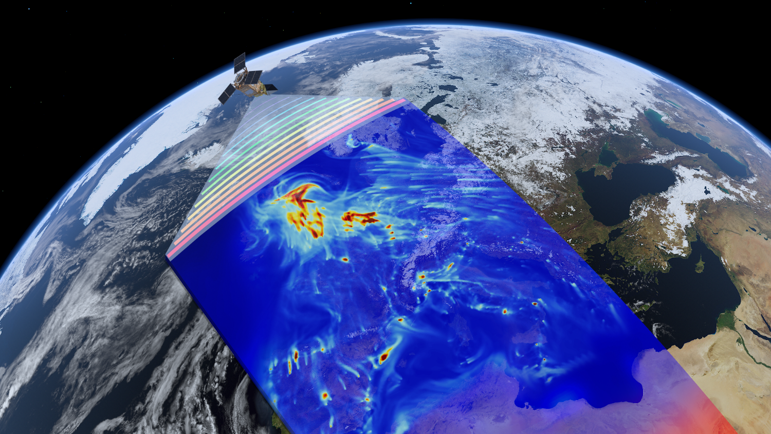
How bad is the air pollution in your area? What can we expect now countries are slowly emerging from their lockdowns? We’ve seen nitrogen dioxide (NO2)..
For those who already know us or follow us for quite some time it is no big surprise, we have a big interest and expertise in global land cover monitoring..
Earth observation research is a multidisciplinary research topic and acquiring data for this type of research is not always easy. A lot of organizational..
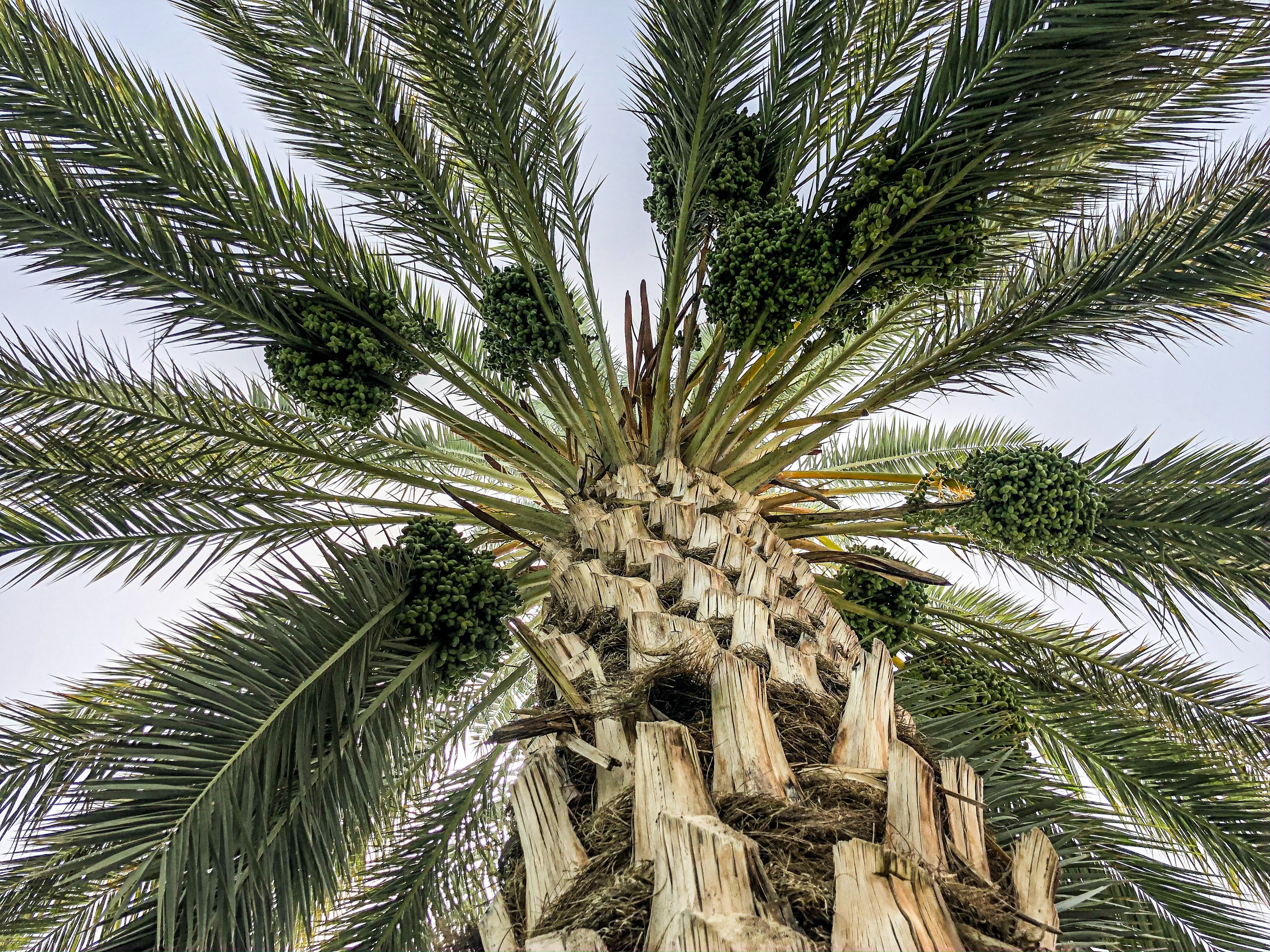
When thinking of palm trees, most people start dreaming of beautiful beaches or stunning locations. But besides this ornamental aspect, palm trees also..
Unfortunately, all good stories come to an end, even so for PROBA-V. What started as a “gap-filler” mission between SPOT-VEGETATION and the Sentinel-3..
Efficient fertilization and irrigation are two main challenges for future crop production in Belgium, but also in other European areas with intensive..
As a fruit grower you want to obtain a rich and profitable harvest at the end of the season. Reducing the number of flowers and fruitlets early in the..
The Port of Antwerp is a major economic player in Belgium housing ca 900 companies, among which the biggest and most diverse chemical cluster in Europe...
Since its release, the Copernicus Global Land Cover maps have raised interest for applications in different fields. But downloading these products to your..
"Agricultural biologicals" is a broad term for naturally occurring substances such as micro-organisms and natural extracts that have the potential to..
APEX is an airborne hyperspectral instrument. It was originally intended to serve as a simulator and a calibration and validation device for spaceborne..
Economic progress has been measured via Gross Domestic Product (GDP) for decades. However, most environmental elements are not recorded in these public or..
In order to meet all the challenges of the growing world population, we need more data-driven decisions in agriculture. These data-driven decisions can..
While more and more platforms to process EO data become available, it is getting increasingly hard to choose which platform is best suited to process your..
Thanks to Copernicus, the European Union’s Earth Observation programme, we have full, free and open access to massive amounts of data. But how do we use..
Drones are a popular platform in the world of remote sensing. They are often budget-friendly, flexible to use and allow to monitor hard to reach areas at..
Nineteen years after the implementation of the EU Water Framework Directive, a framework to guarantee that there is enough good-quality water for its..
Did you know that agriculture is responsible for up to 70% of all water withdrawals in the world? With water becoming more scarce, making every drop count..
The past 3 weeks we’ve heard a lot about ‘MeiPlasticvrij’. Maybe you’re even participating? A campaign set up for the second time to make everyone aware..
With our population growing every year, the pressure on our Earth’s resources are rising tremendously. Last year for example Earth Overshoot Day, the..
Youth for climate, sign for my future, claim the climate … several initiatives have been started all over the world to encourage our policy makers to take..
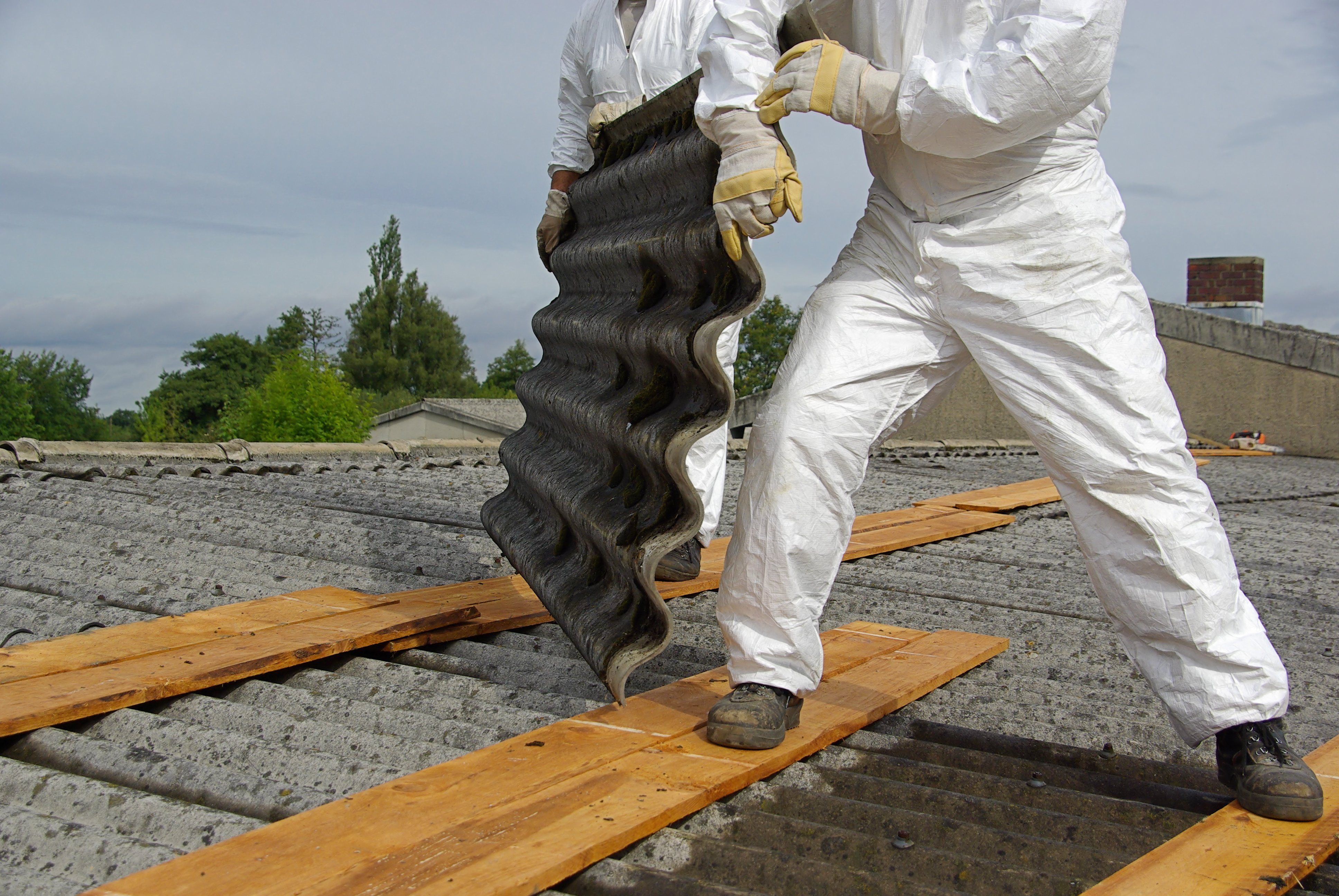
In 2018 the Flemish government agreed to develop a new policy to phase out asbestos in Flanders. A part of this policy (Actieplan Asbestafbouw) is to ..
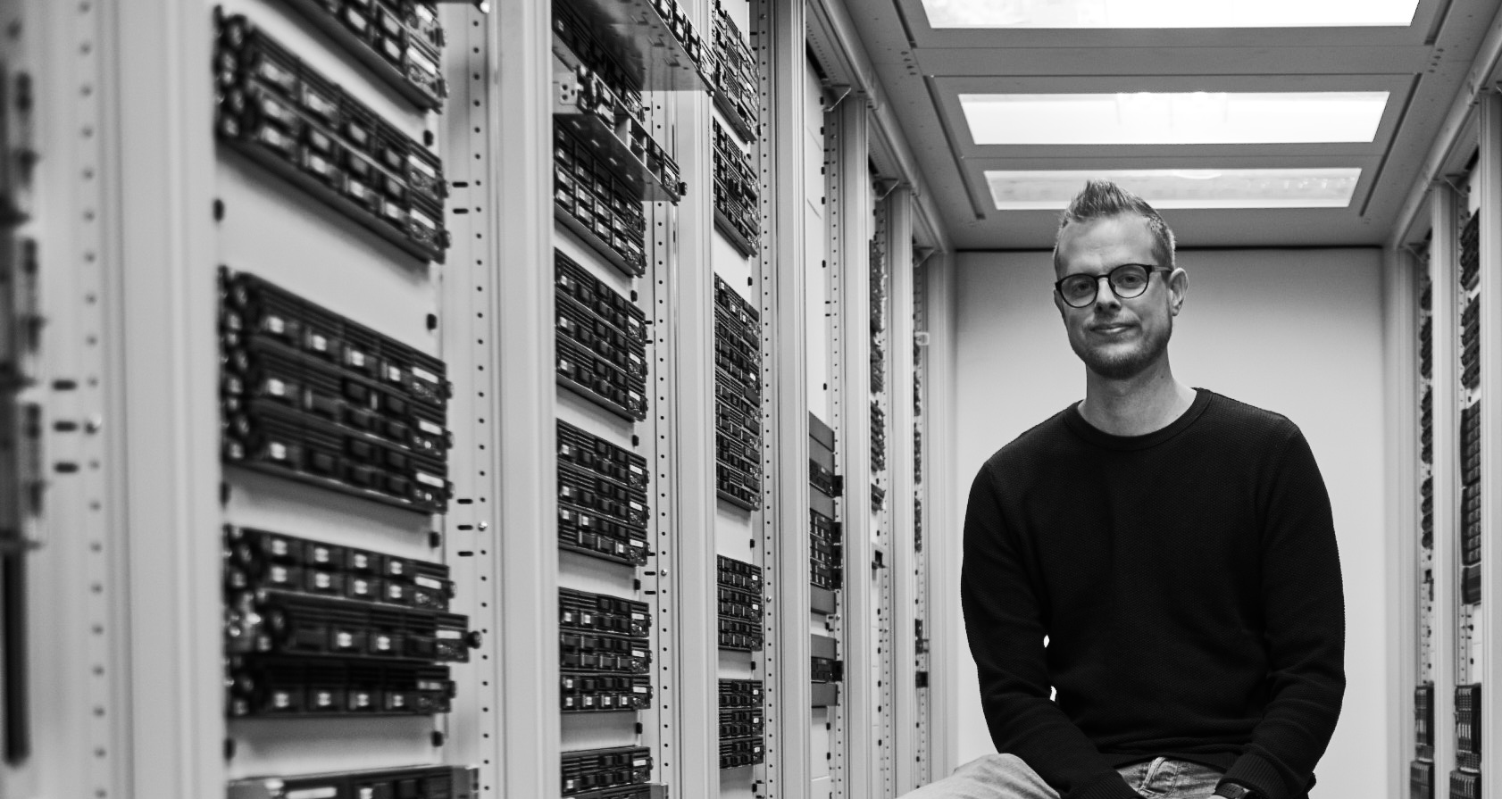
Hi, I’m Bram, 28 years and passionate about IT, developing online platforms and discovering new technologies nonstop. It's not always easy to explain my..
In remote sensing, drone data has become more and more popular over the years. For agriculture monitoring or disaster management but drone data can also..
After releasing iCOR for the atmospheric correction of Sentinel-2 and Landsat-8 data, the iCOR software is now also available for atmospheric correction..
In today’s world, governments, administrations and private companies rely more and more on geo-information. Critical situation management teams are fully..
Launched in 2013 and more than 5 years of observations, ESA’s miniature satellite PROBA-V monitors the evolution of our planet’s vegetation every day. We..
A couple of weeks ago we were pleased to celebrate our 20th anniversary. It's truly amazing: 20 Years of Remote Sensing! Since 1998 we’ve been exploring..
The WHISPERS conferences promote hyperspectral image processing to solve remote sensing challenges. This aligns very well with the "full value chain”..
The balance between the food demand and availability is becoming more and more fragile in many parts of the world. To feed the rapidly growing population,
The goal of the European Commission Copernicus program is to offer free and open data about our environment. For example, Sentinel-2 covers our entire..
Invasive Alien Species (IAS) are one of the most important drivers of biodiversity loss. Either introduced deliberately (e.g. through fish farming or..
The growing world population and its related ever-growing food demand requires a close monitoring of the agricultural landscape and timely estimates of..
As Belgium’s biggest service provider for agriculture and horticulture, AVEVE is continuously looking for innovative solutions. In plant breeding we’re..
When you look at a satellite image, you are not thinking about reflectance, solar radiation or any other atmospheric disturbance, and you shouldn’t need..
In satellite earth observation, platforms and instruments are being miniaturized to improve cost-efficiency. At the same time, higher spatial and spectral..
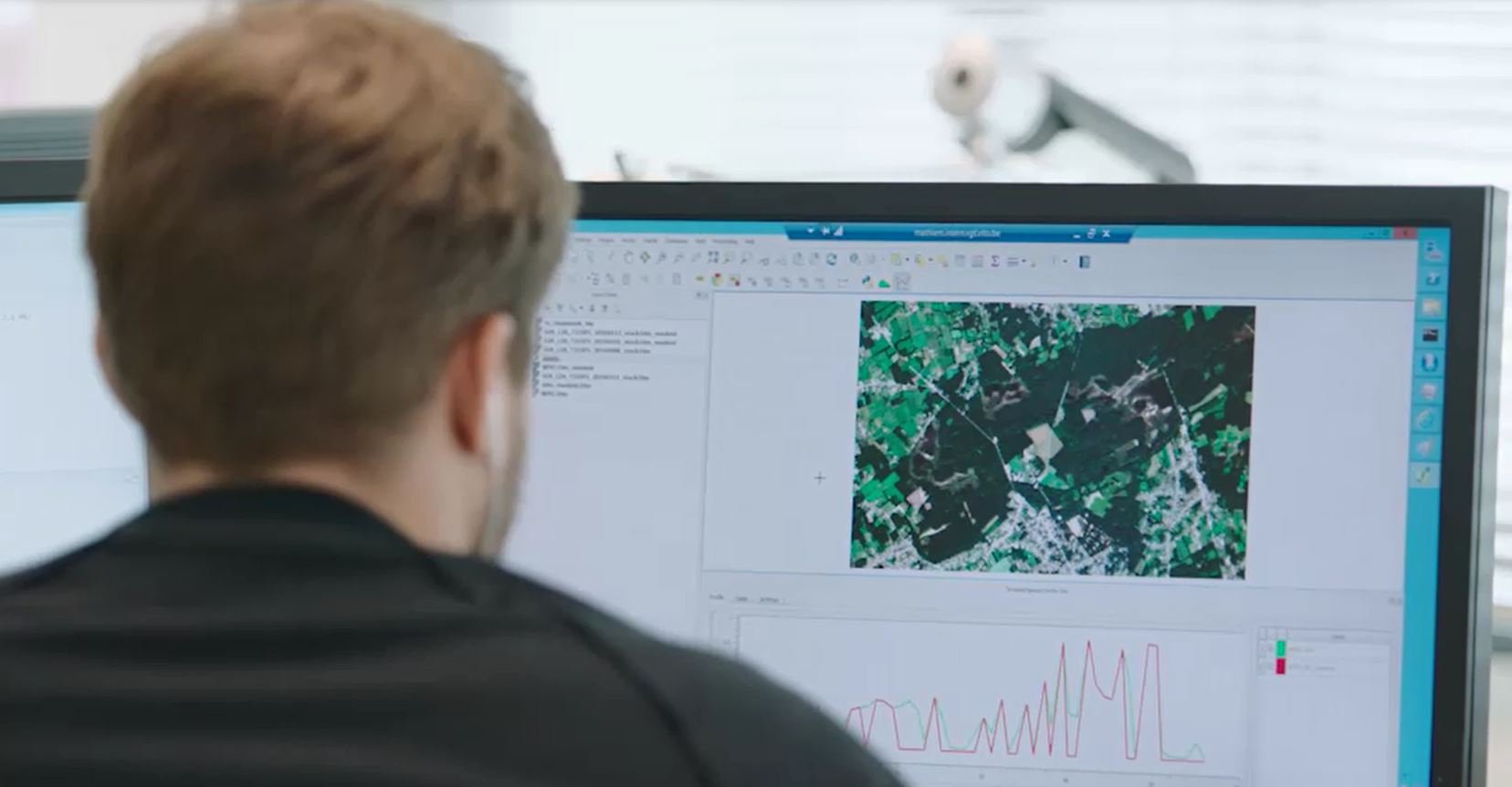
How is the Earth’s vegetation evolving? To find out, you extract all observation data of your area of interest over time from the EO data archive (a time..
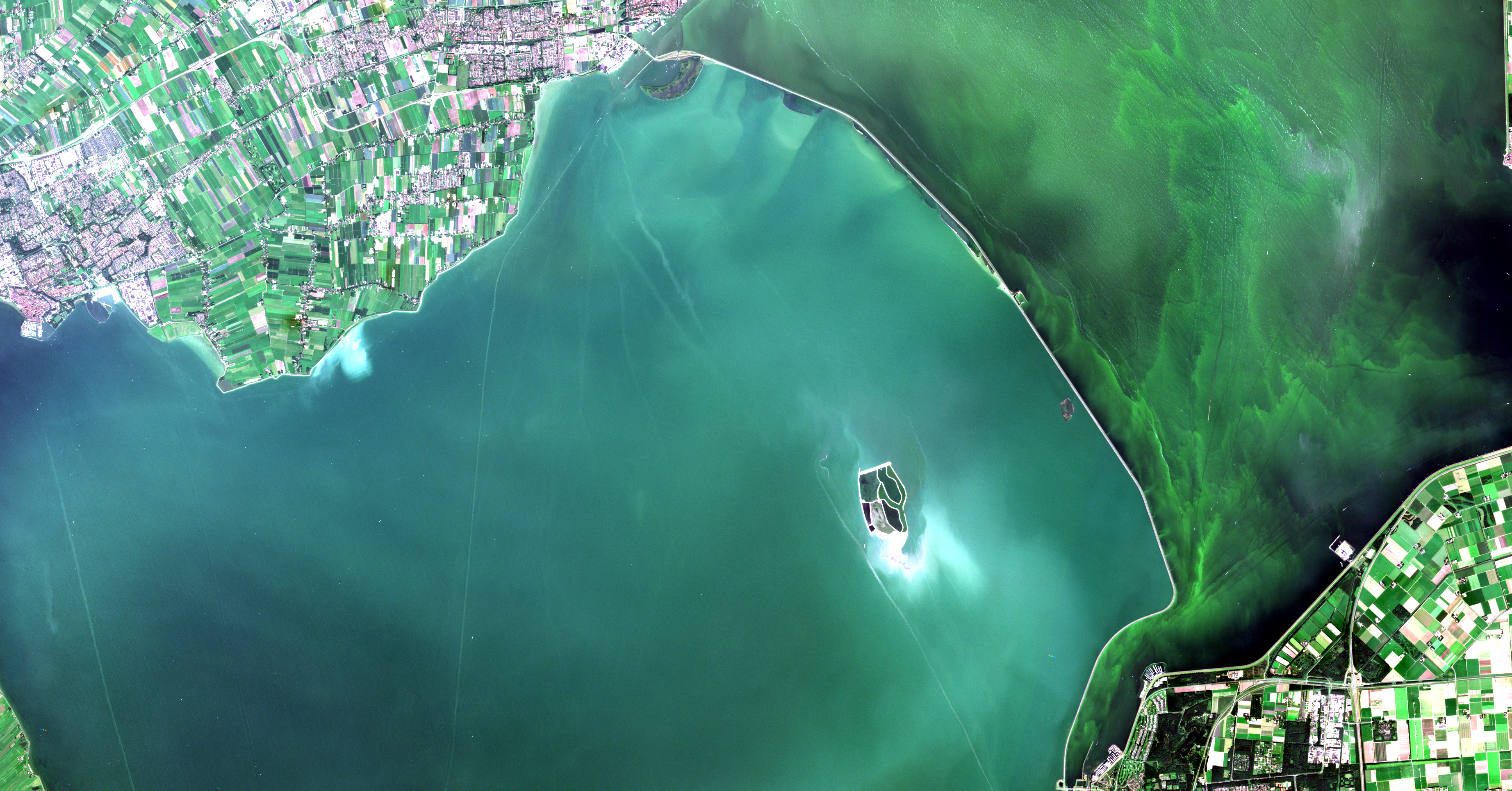
Coastal waters, including bays and estuaries, contain a wide variety of species and habitats. However, coastal waters are also extensively exploited for..
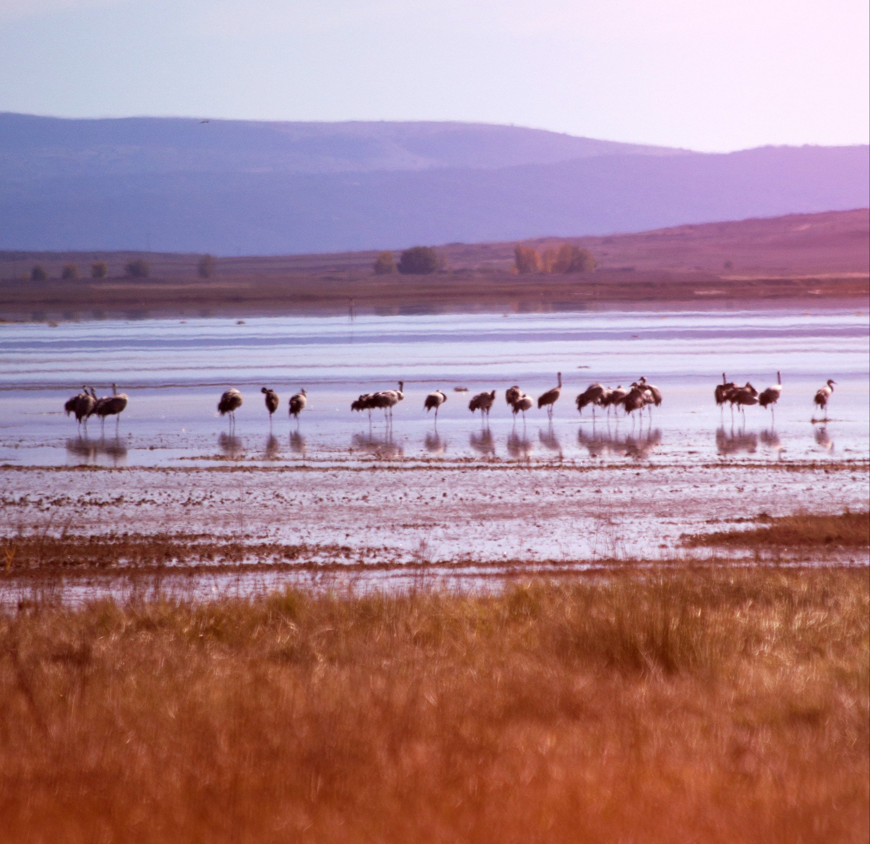
An idyllic setting in the Dartington Hall in South West England. Grass fields, trees, birds, rivers, the nature at its best. The perfect place for 12..
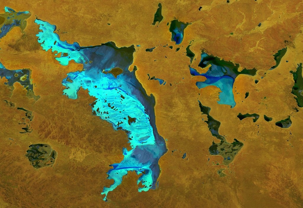
Recent news on the situation of the South African metropolis Cape Town underlines the gravity of drought as one of the most destructive environmental..
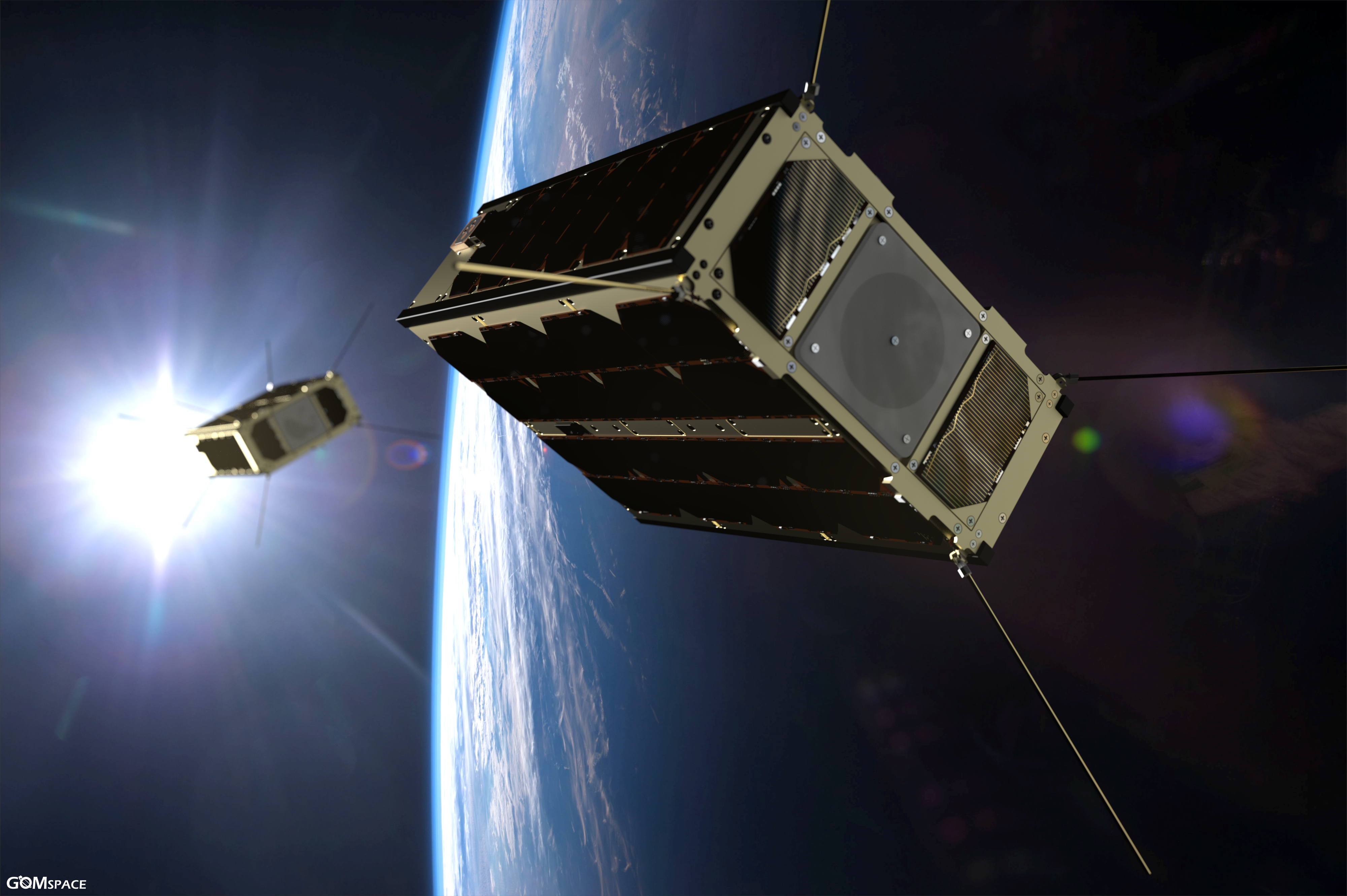
CubeSats, standardized spacecraft platforms which consist of a number of cubes of 10x10x10 cm3, provide practical, reliable, and cost‐effective launch..
Landscapes evolve and the drivers behind the changes relate socio-economic activities to their bio-physical environment. Regions that have international..
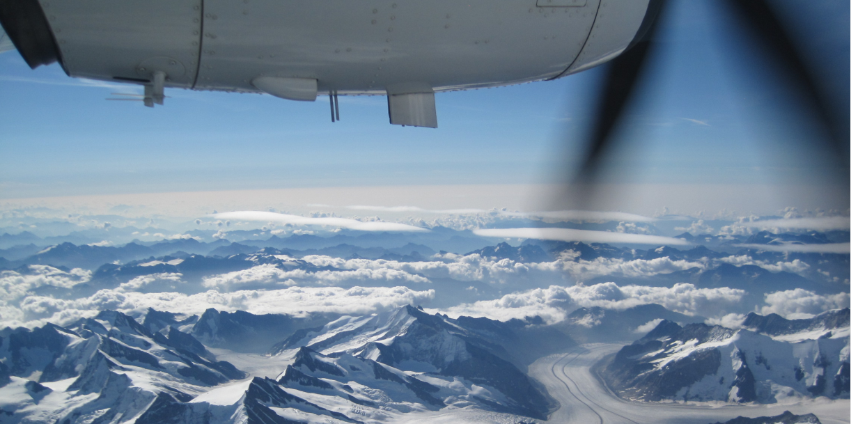
From Hungary to California or from Saudi Arabia to Antarctica.In our last blog of 2017 we want to show you some places on Earth & take you back to some..
For a food secure world, agriculture needs to get digital, i.e. we need “smart” agriculture to ensure food for all. Combining and analyzing this “Big..
VITO Remote Sensing distributes processed Earth Observation data to users worldwide. In this blog, we are giving the word to Action Contre La Faim (ACF)..
The JRC-MARS unit (Monitoring Agricultural ResourceS) develops methods, tools and systems to monitor agricultural evolutions (areas and yields) in Europe..
Precision agriculture aims to optimize returns by automated observation of crop fields using small unmanned aerial vehicles. The challenge is to provide a..
Static land cover maps are often hard to use in different applications. But with a wide range of user groups, we need more elastic land cover mapping..
To maximize the usability and uptake of Copernicus satellite data, ESA is setting up partnerships or collaborative ground segments in its member states...
Agriculture is one of the main water users in the world. In order to achieve food security in the future, it is essential that the water resources are..
Why do I do research? I am often asked this question, these days. Working in research is not always easy, but millions of people across the world are..
Space is inspiring. Space is innovating. Space supersedes barriers we have on earth. Space is about stars, planets, moons, asteroids and astronauts. But..
When you look at a satellite image, although you may not see it, every pixel in the image is subtly contaminated by the atmosphere. If you want to derive..
Imagine a field, where 10000 variaties are growing in tighly, regularly spaced plots. Welcome to the daily live of plant breeders. Plant breeders observe,..
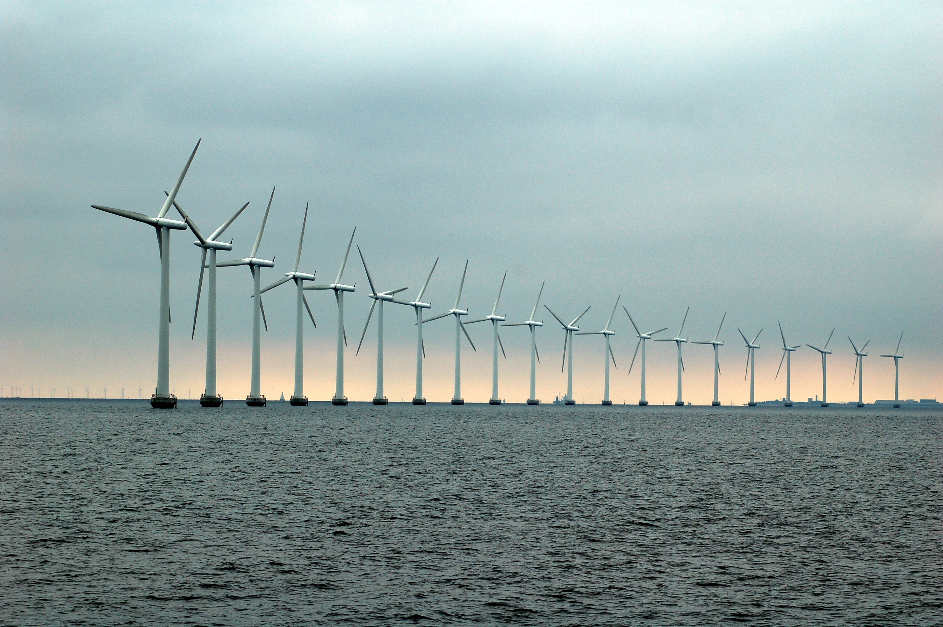
Drones pop up everywhere. Even in the world of wind turbine inspection. But to set up an automated inspection process however, we need more than a flying..
Massive amounts of Earth observation data are generated by the Sentinel satellites. But how can you get access and retrieve valuable information? The..
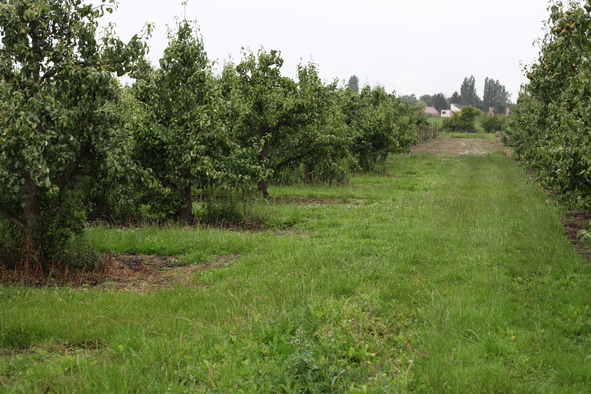
It’s every fruit grower’s priority to keep his orchards safe. But sometimes you cannot avoid diseases like fire blight. Fire blight in pear orchards is..
Small differences in the content of light, far more subtle than what we can perceive as different colours, carry valuable information about the health..
ESA’s miniature satellite PROBA-V may only be as large as your average dishwasher, its potential in Earth Observation is inversely proportional. Providing..
With more than 70 % of our Earth covered by water and nearly half of our global population living near the coast, the importance of water on Earth cannot..
It is a well-known fact that our climate is changing rapidly. The global temperature has increased by 1oC over the last half century and 2016 was the..
The International Maritime Organization predicts a significant increase in the transport of cargo and goods by sea over the coming decades. Due to this,..
Understanding our planet and the impact of climate change: a vexing question for several years now. How is Europe actually facing climate change and its..
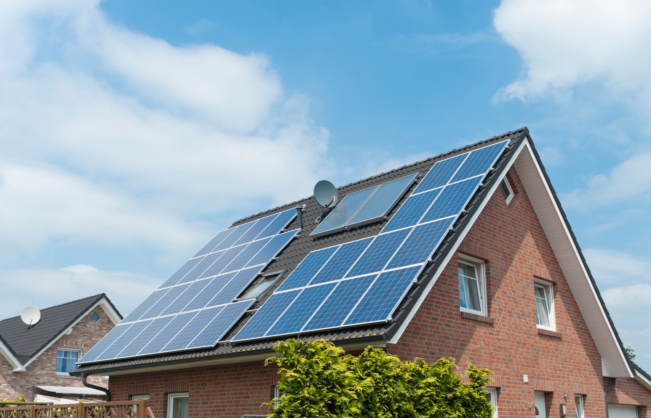
For many years now, the Flemish government has been encouraging its citizens to use renewable energy, and solar power in particular. But how do you know..
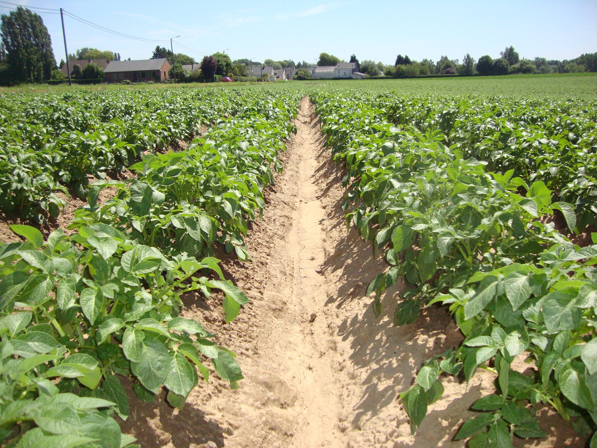
How on earth can space technology help farmers and the potato industry grow their business? Knowing what happens on every single field is the first step...
It’s time for the bi-annual MultiTemp conference. We will be gathering for the 9th edition in Bruges, Belgium, from the 27th to the 29th of June this..
Often, the solution to a certain problem can be found right under your nose. When that solution is soaring high above your head, however, you might need a..
Welcome to PRISM. Just like a prism splits the light into a spectrum of colors, VITO Remote Sensing will use this blog to show you how fascinating Remote..
/Blog%20Post%20Strip%20Cropping%20-%20Featured%20Image%201200x650%20150%20ppi.png)
/Blog_CORSA_1200x650.png)
/Blog_WorldCereal_1200x650.png)
/lewis-latham-0huRqQjz81A-unsplash.jpg)
/boudewijn-huysmans-_iyh6g5KHQA-unsplash.jpg)
/background_image_blog.jpg)
/CalibrEO%20Service%20Header.jpg)
/Land%20use%20model%20+%20green%20city.png)
.jpg)


.png)
.png)
.jpeg)
AnVanGijsegem-17-1.jpg)


-_-header.png)
.jpg)


.jpg)
.png)